
Denali National Park Entrance. September 9, 2014
(total distance 659mi/1061km)
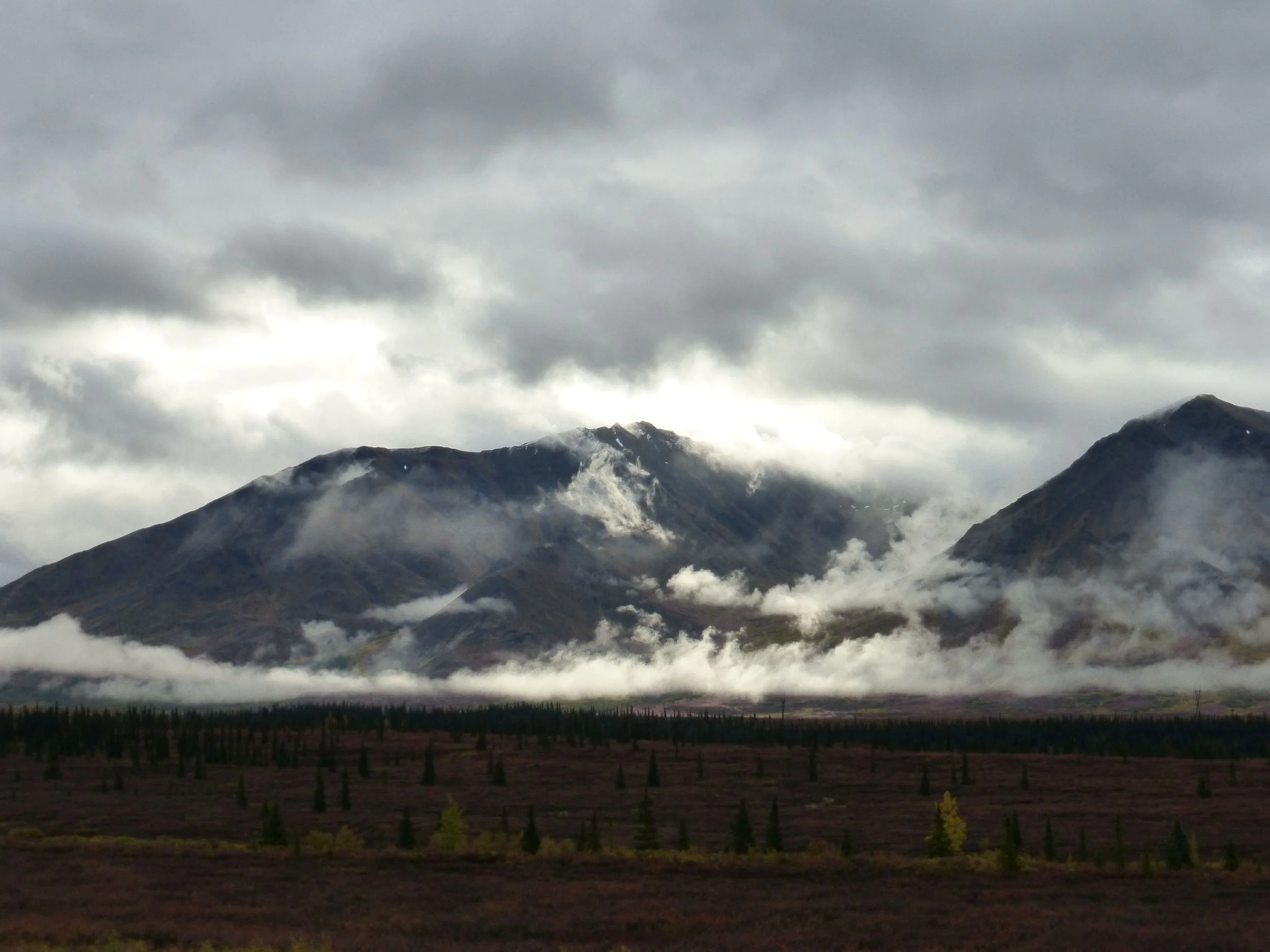
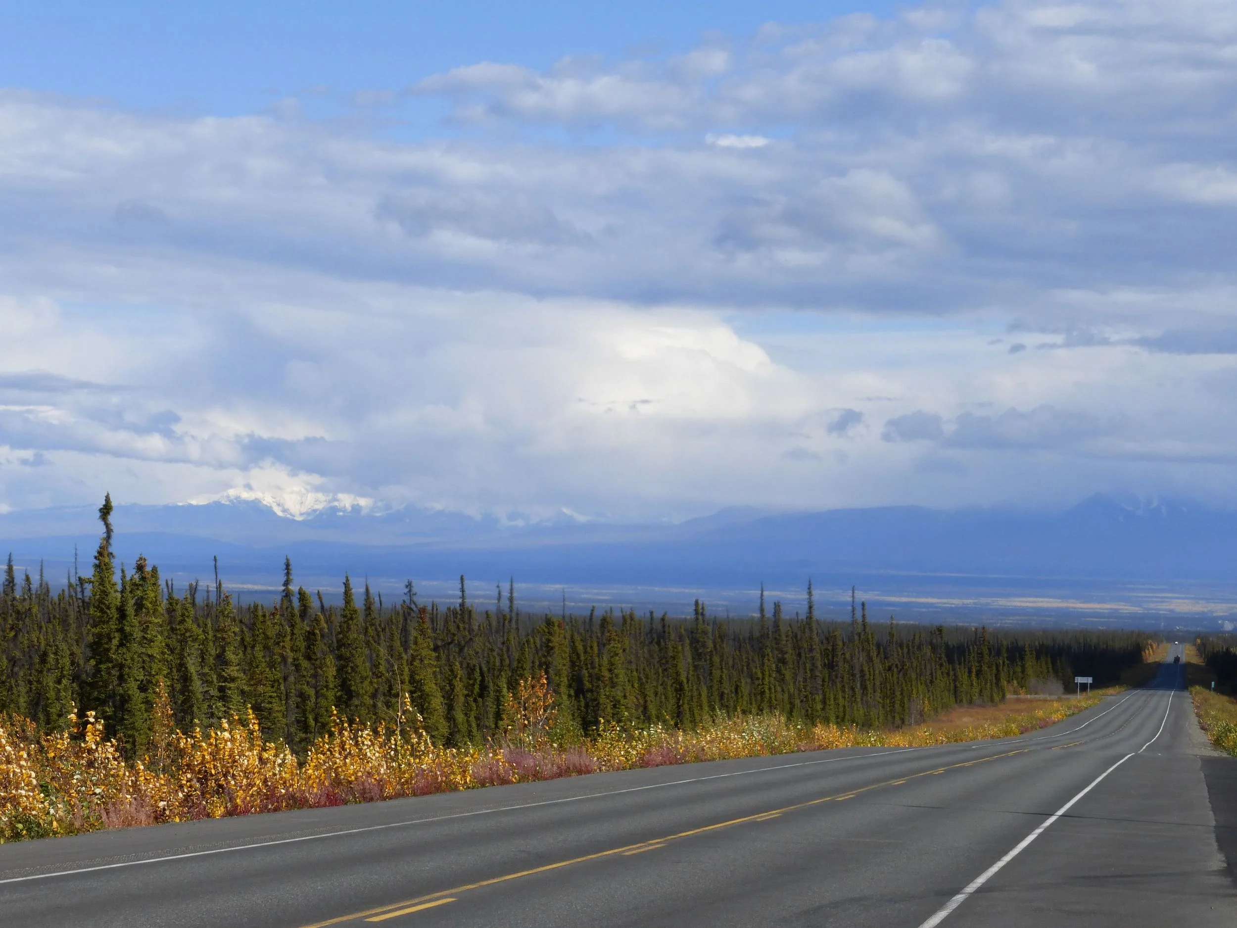
DAY 1
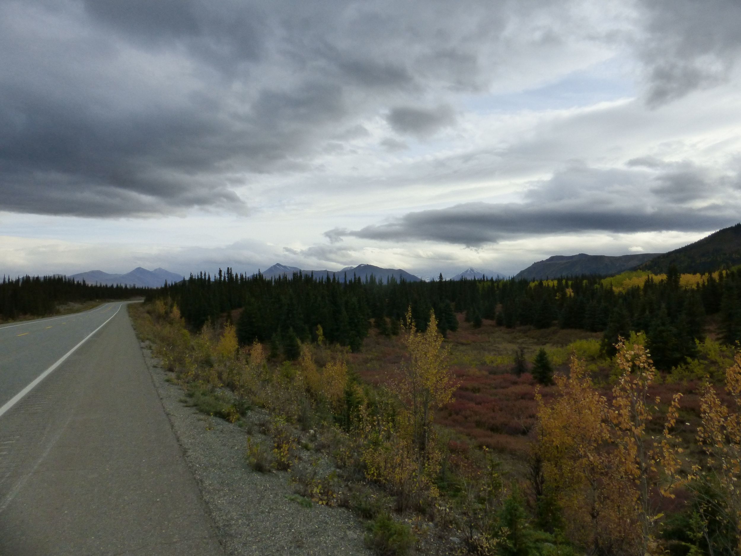
After leaving the national park at noon, it wasn't long before it started raining. I should have been used to it by now but there is always certain gloominess when it's raining, getting dark and you are going along the highway, looking for a pullout, a rest area or a flat spot to pitch your tent.
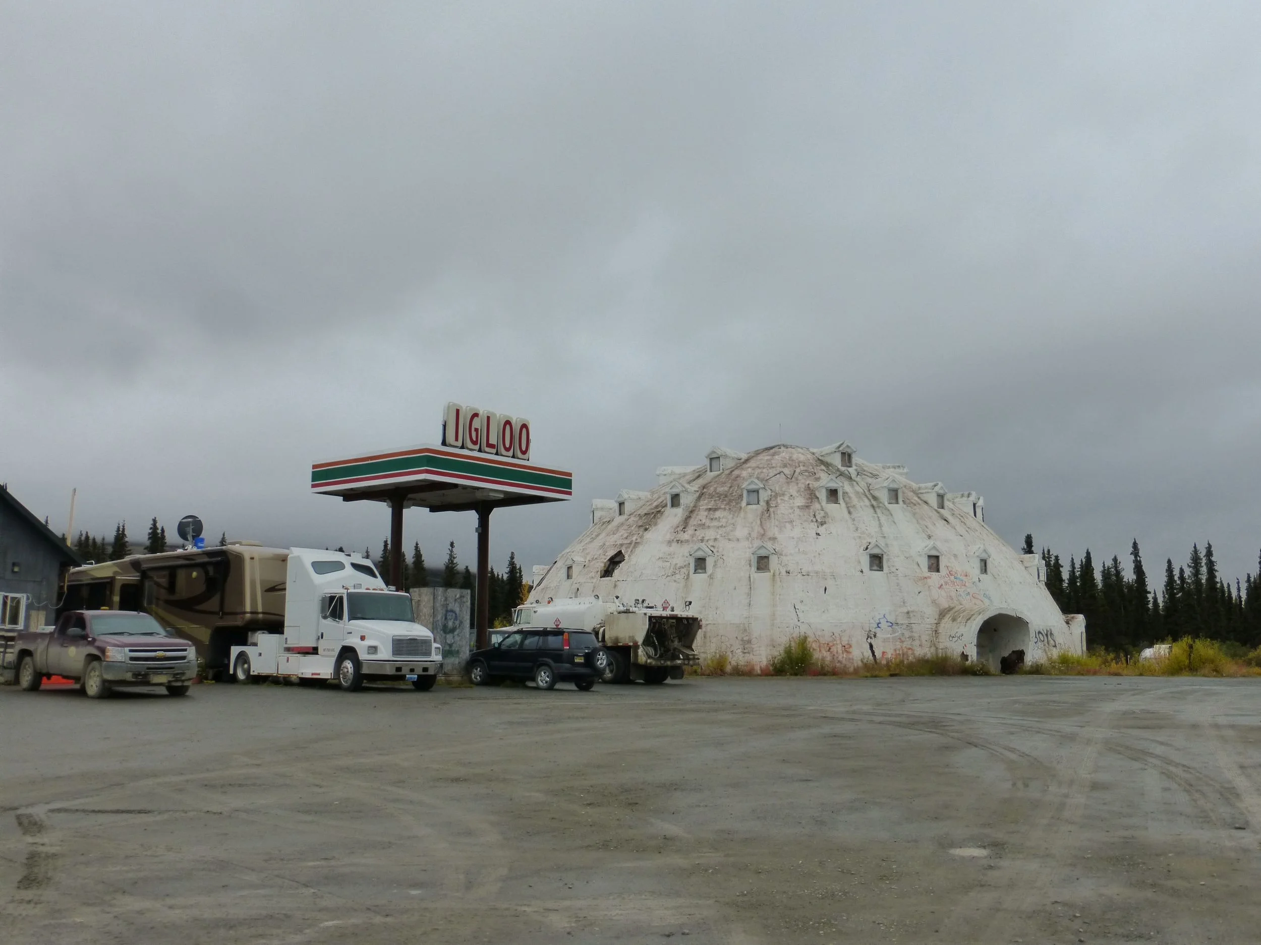
DAY 2
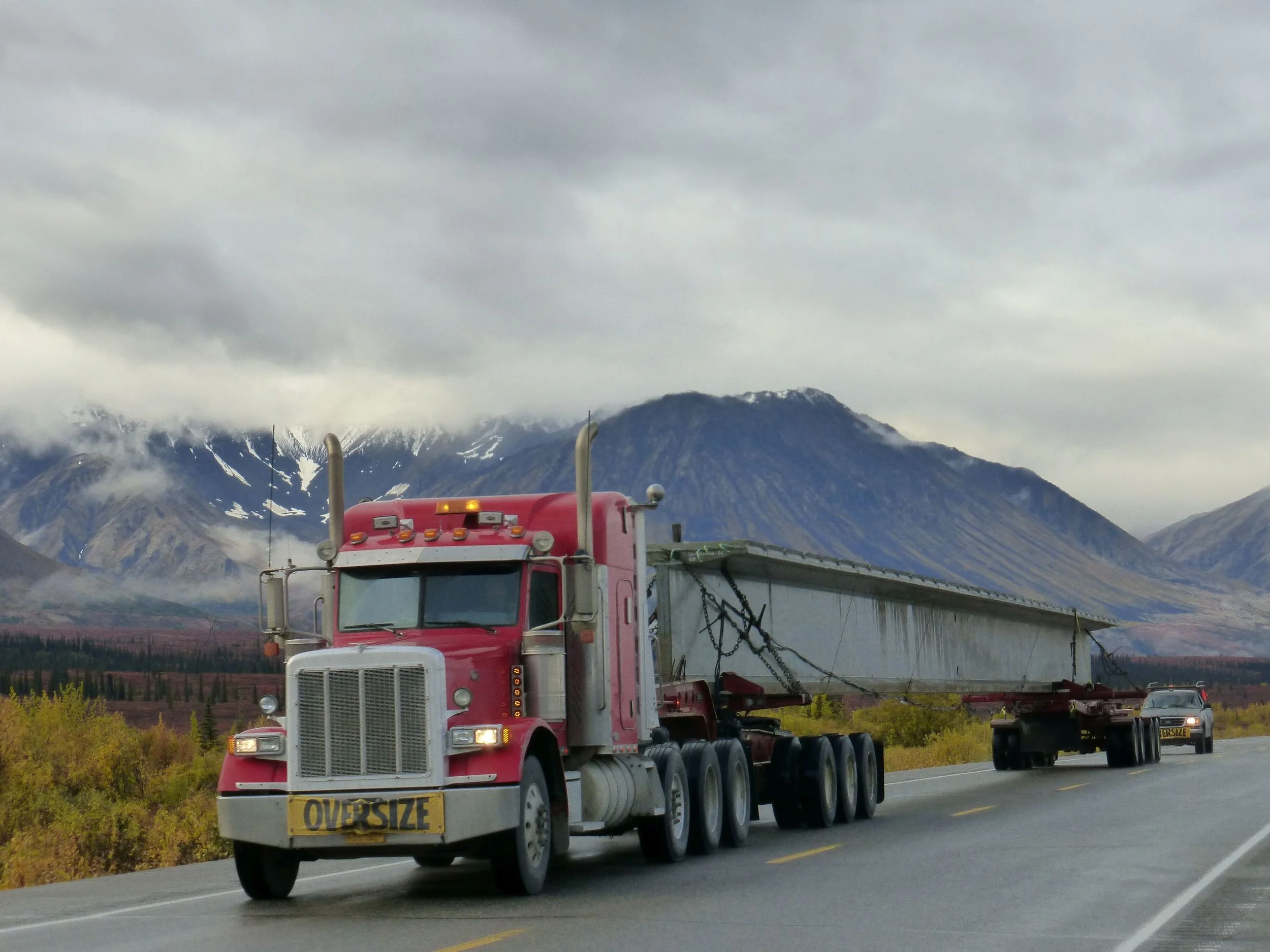
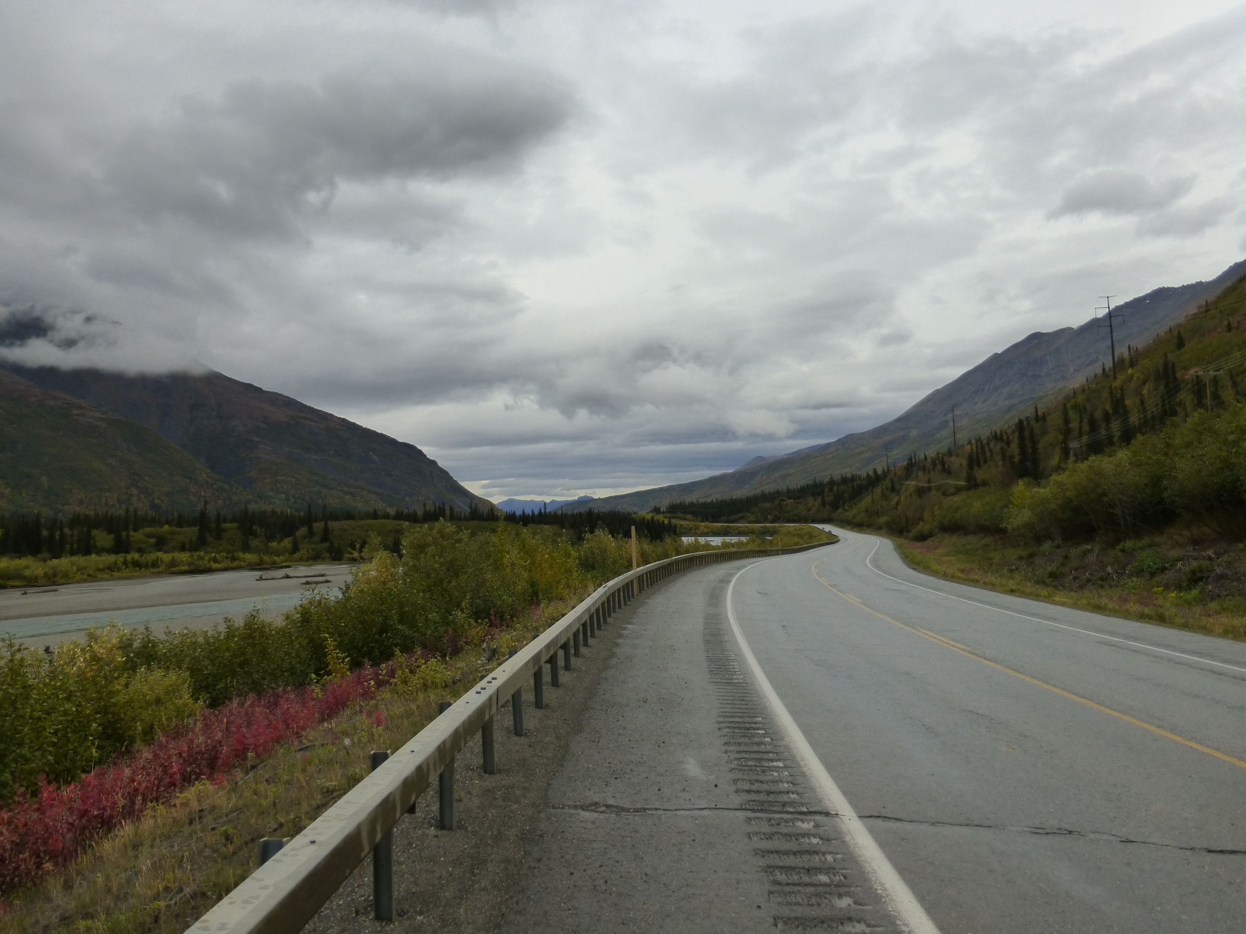
Amongst high truck traffic and wide shoulders I got breaks from the rain and the clouds but not for long. Somebody would occasionally stop and ask if I've seen a moose, it's moose season here in Alaska.
Talking to few of the construction crew that were stationed here, somebody made the IGLOO building but unfortunately it didn't pass safety regulations, so later they sold the land. The traffic control said that he's seen a lot of unhappy cyclists, it has been a very rainy summer here in Alaska and I am fortunate that I was able to ride the Dalton & Denali highways without running into mud-related issues!
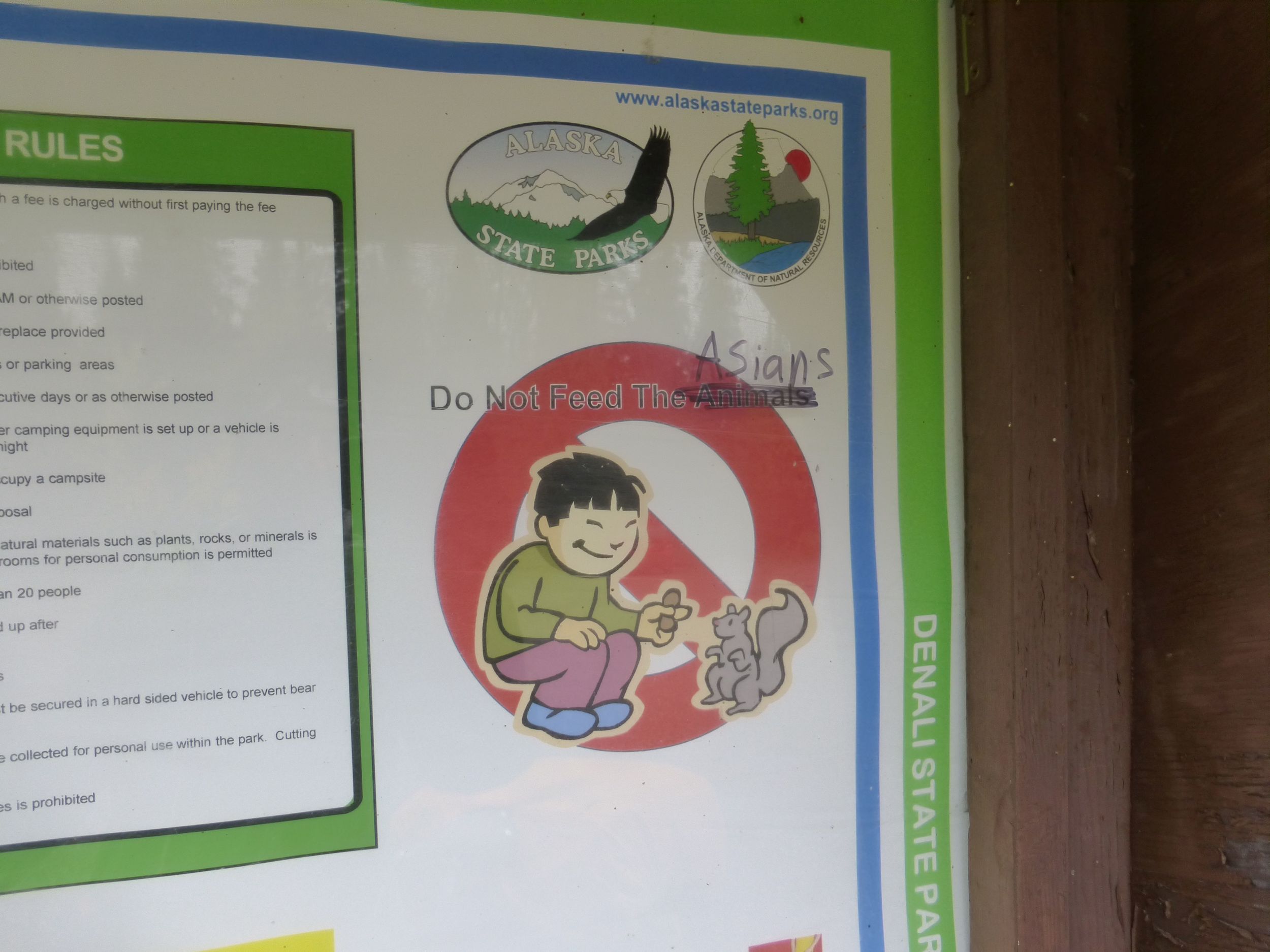
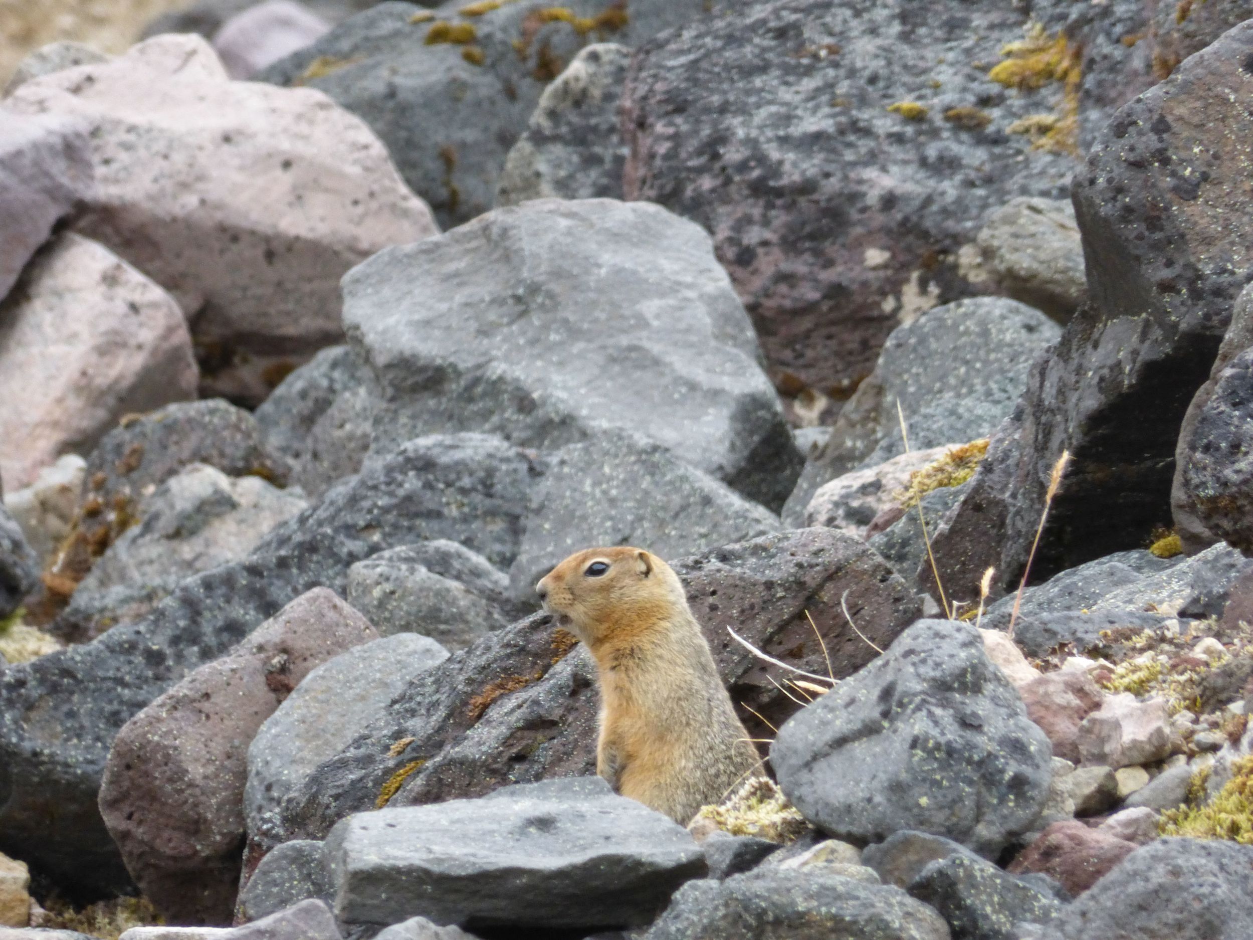
Don't feed the bears!
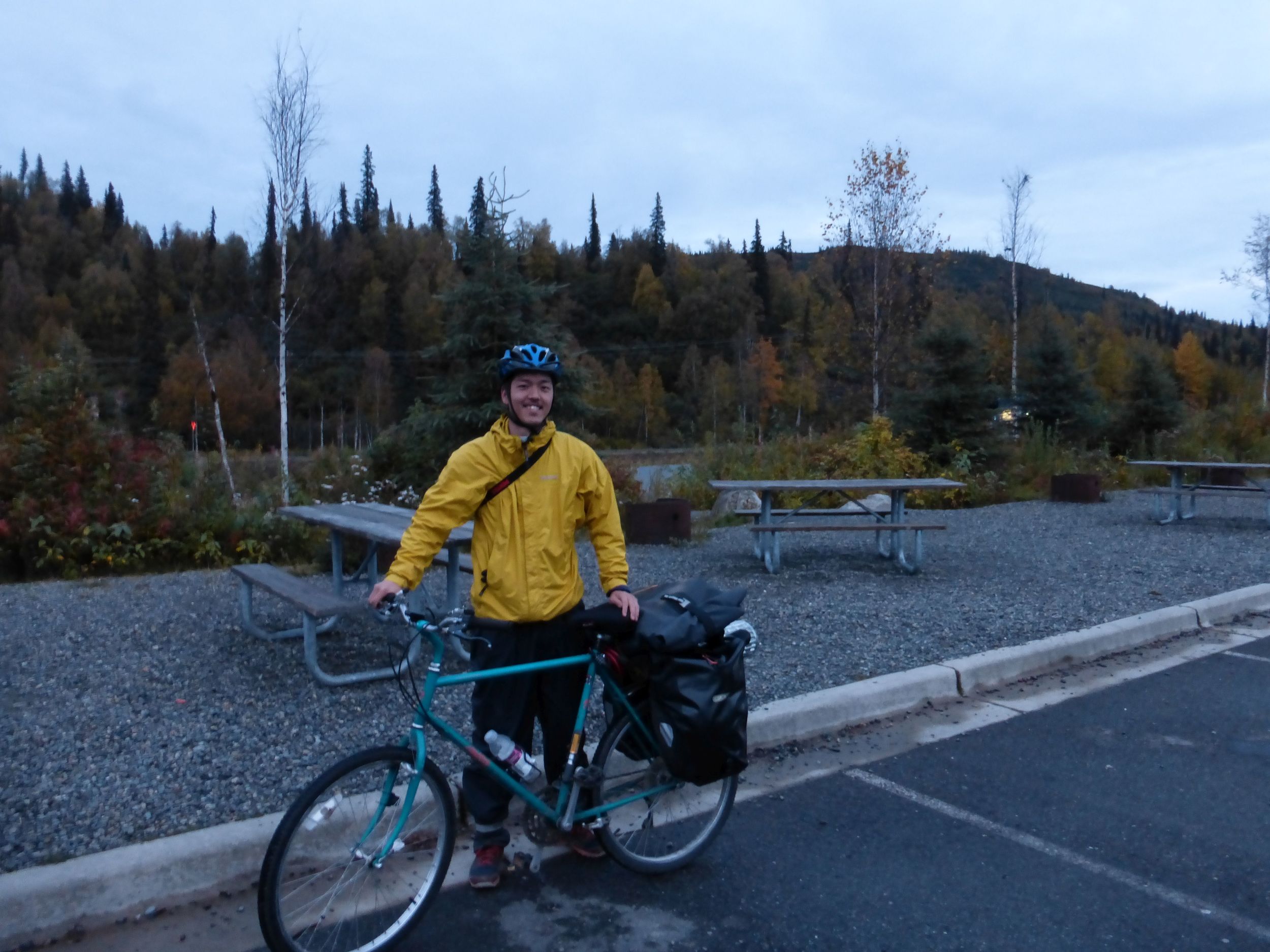
I met Tetsugo from Japan, for his second tour he chose Alaska. I just learned that the park road closes to all buses this weekend, so I excitedly told him:
“Hey, the park road is amazing. They are closing it to vehicles but you can still bike it. It will be 90 miles each way with absolutely nobody!!!”
“Yeaaaah...” he wasn't too happy about being all the way out there without cars & services.
(I later learned that he met another cyclist and together they did the 180mile return trip in Denali). I backtracked few miles with him to camp at a viewpoint, in hopes of seeing Mt. McKinley one last time tomorrow morning.
DAY 3
After fairly uneventful day on the flattest piece of road I've seen since entering Alaska I finally got back to civilization, 75cent chocolate bars, McDonalds and traffic lights.
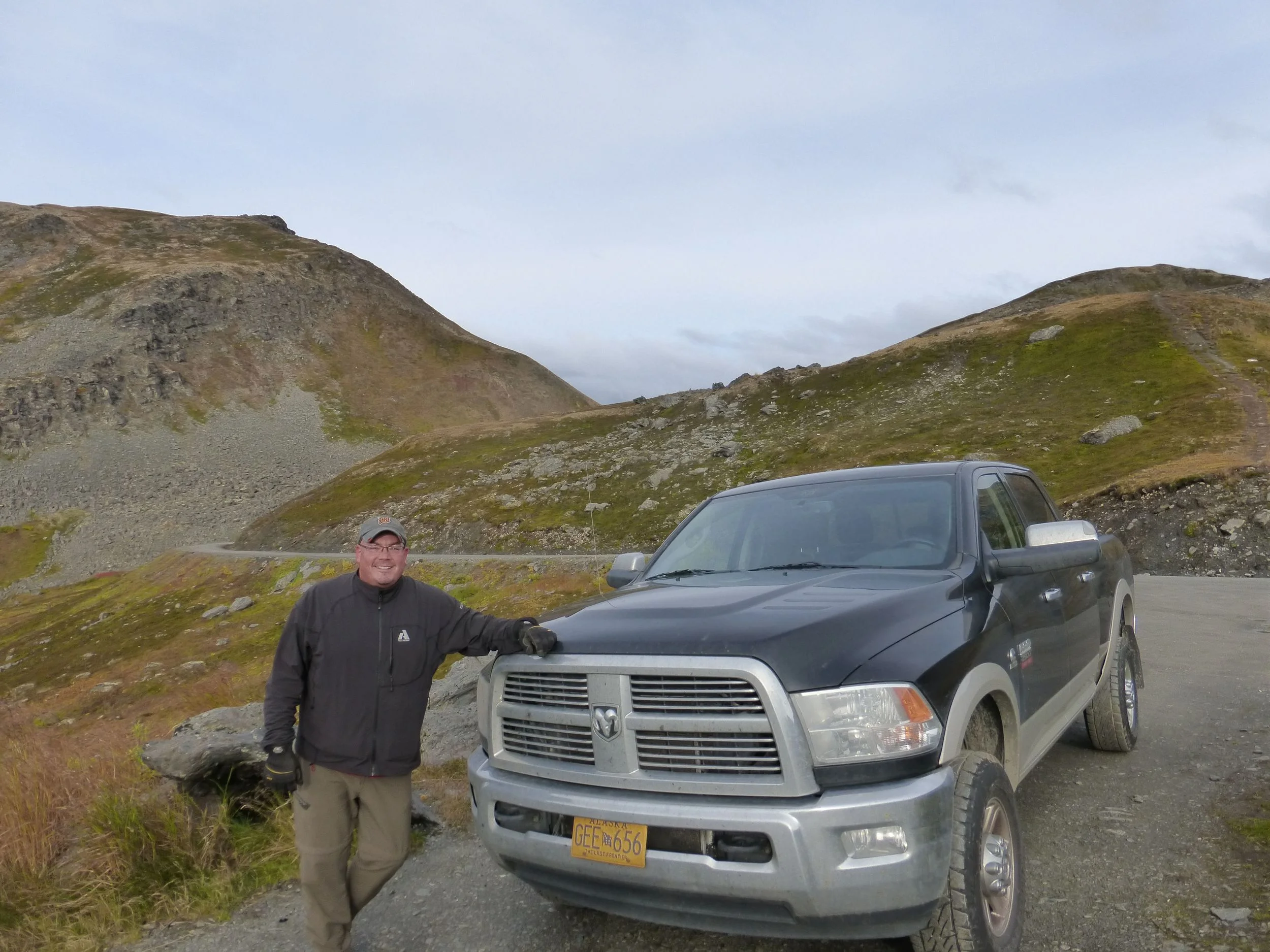
Today I'll be staying with Glenn, who drove me up to the Dalton Highway few weeks ago. We've been emailing back and forth but as I got closer to Palmer I realized that I did not have his address or his phone number. Luckily I found his address in the phonebook.
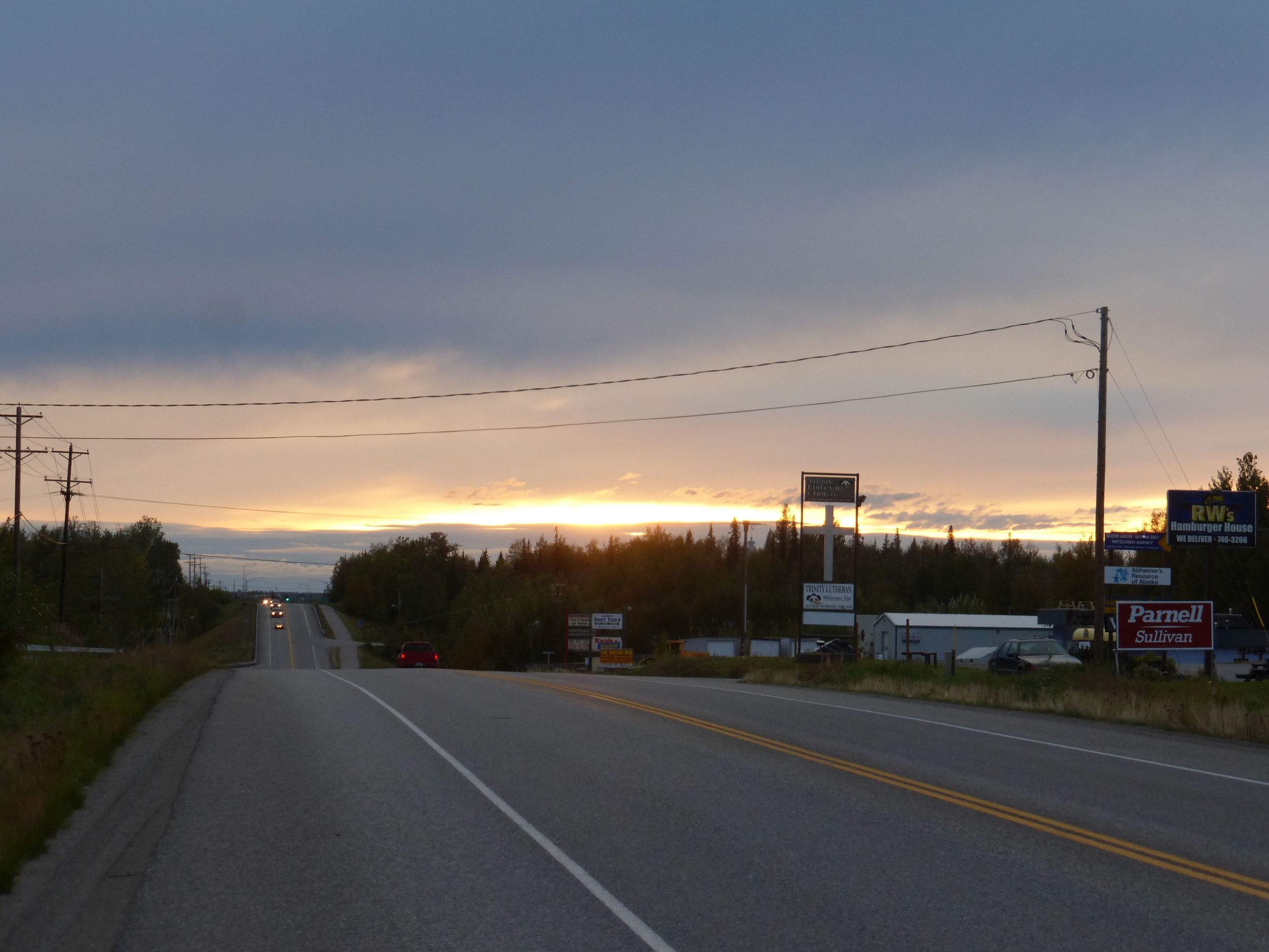
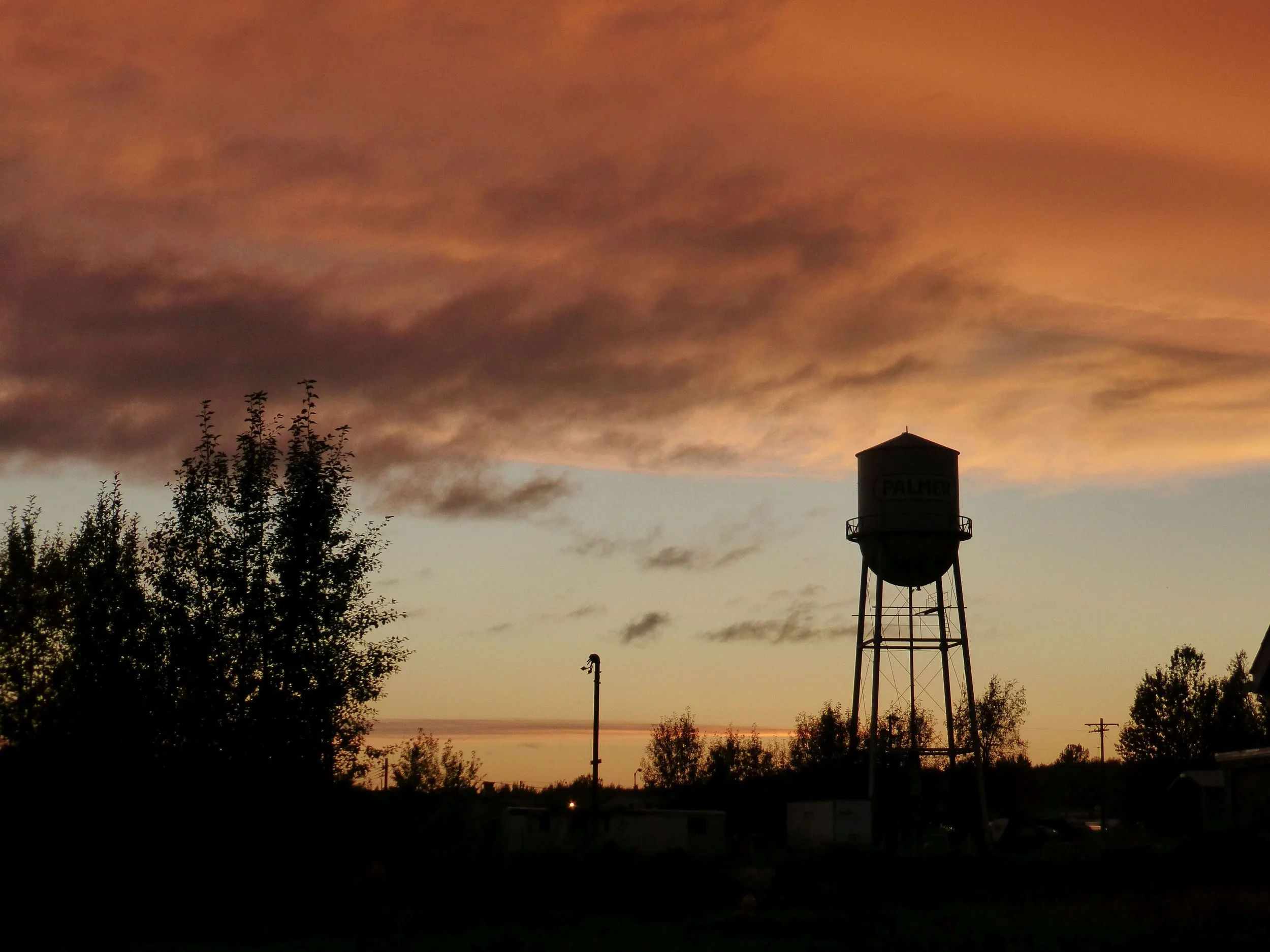
PALMER, ALASKA
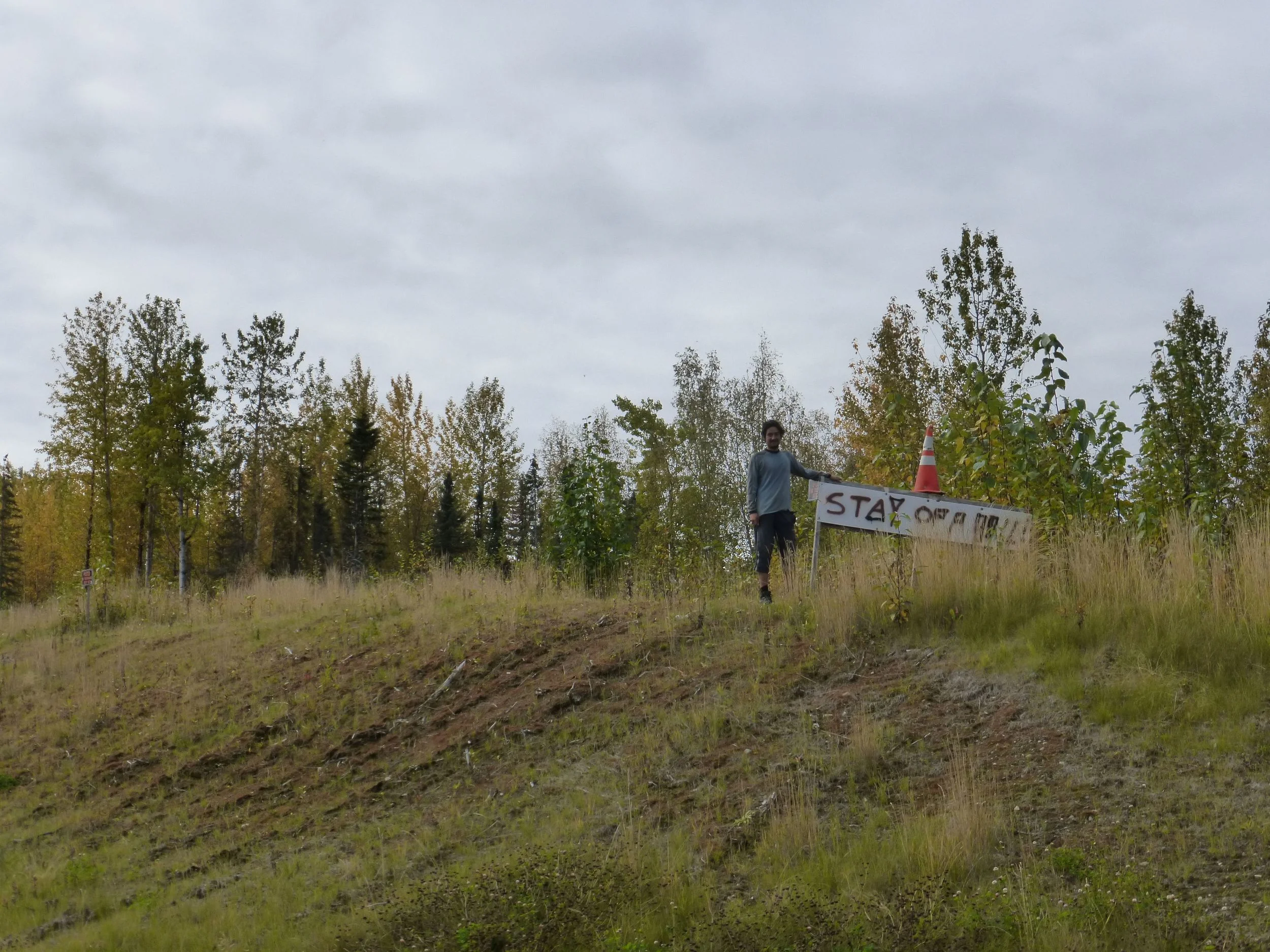
Glenn took me around town and up the nearby mountain, a route I was thinking of taking yesterday.
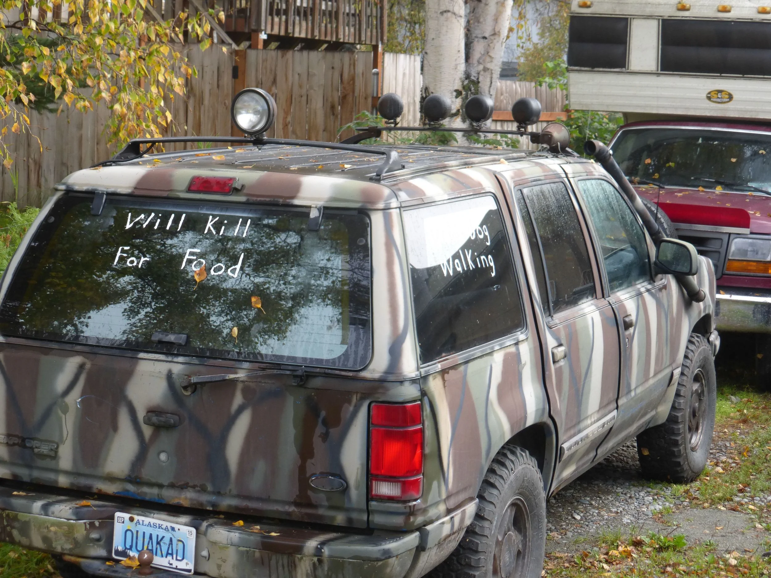
He had some mean neighbors, side window reads: “Dead Dog Walking”
DAY 4
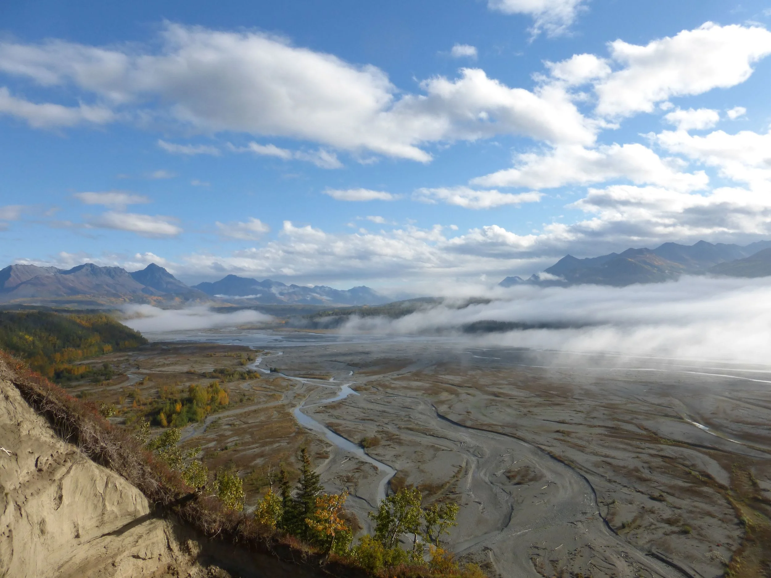
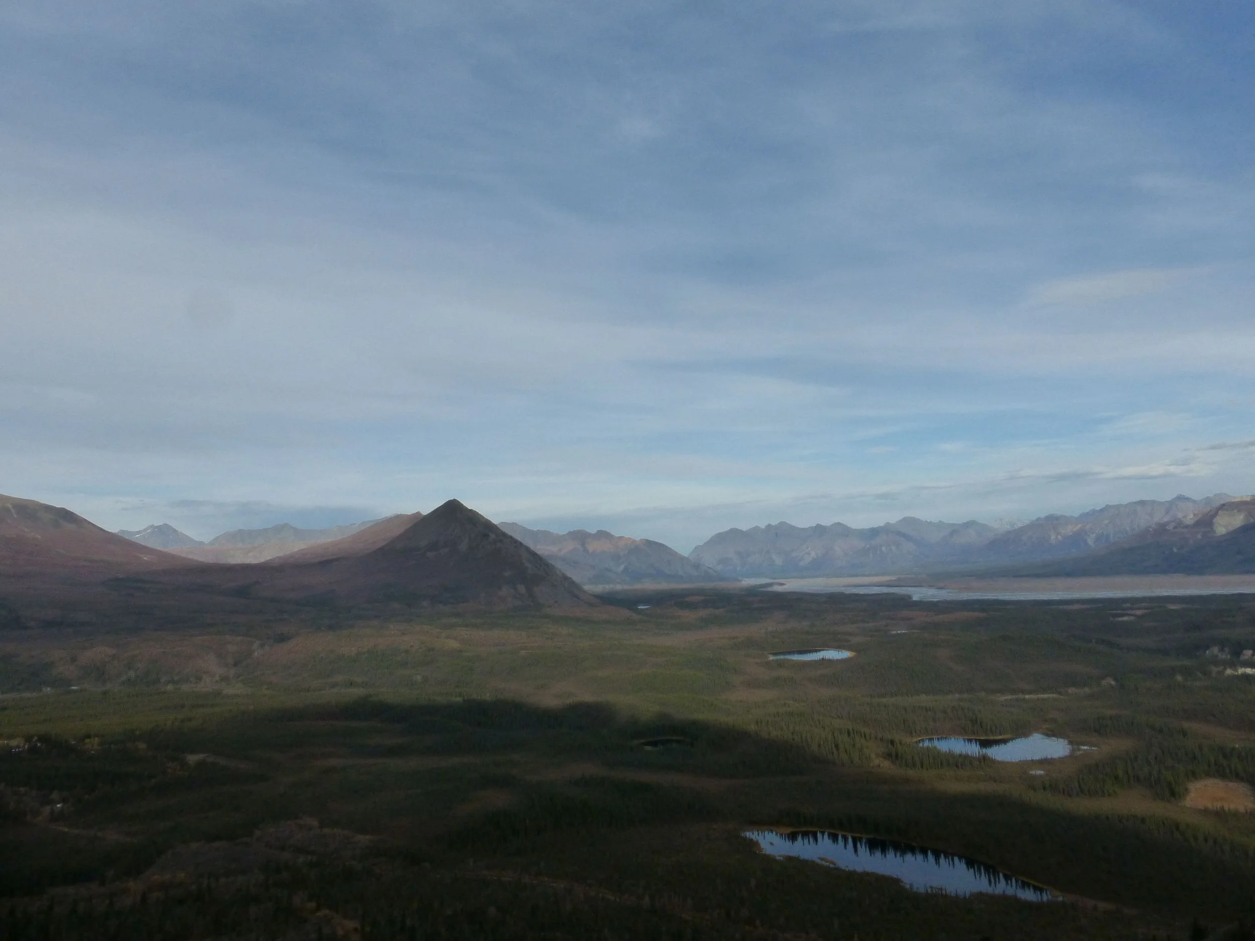
Riding up the Matanuska Valley was beautiful
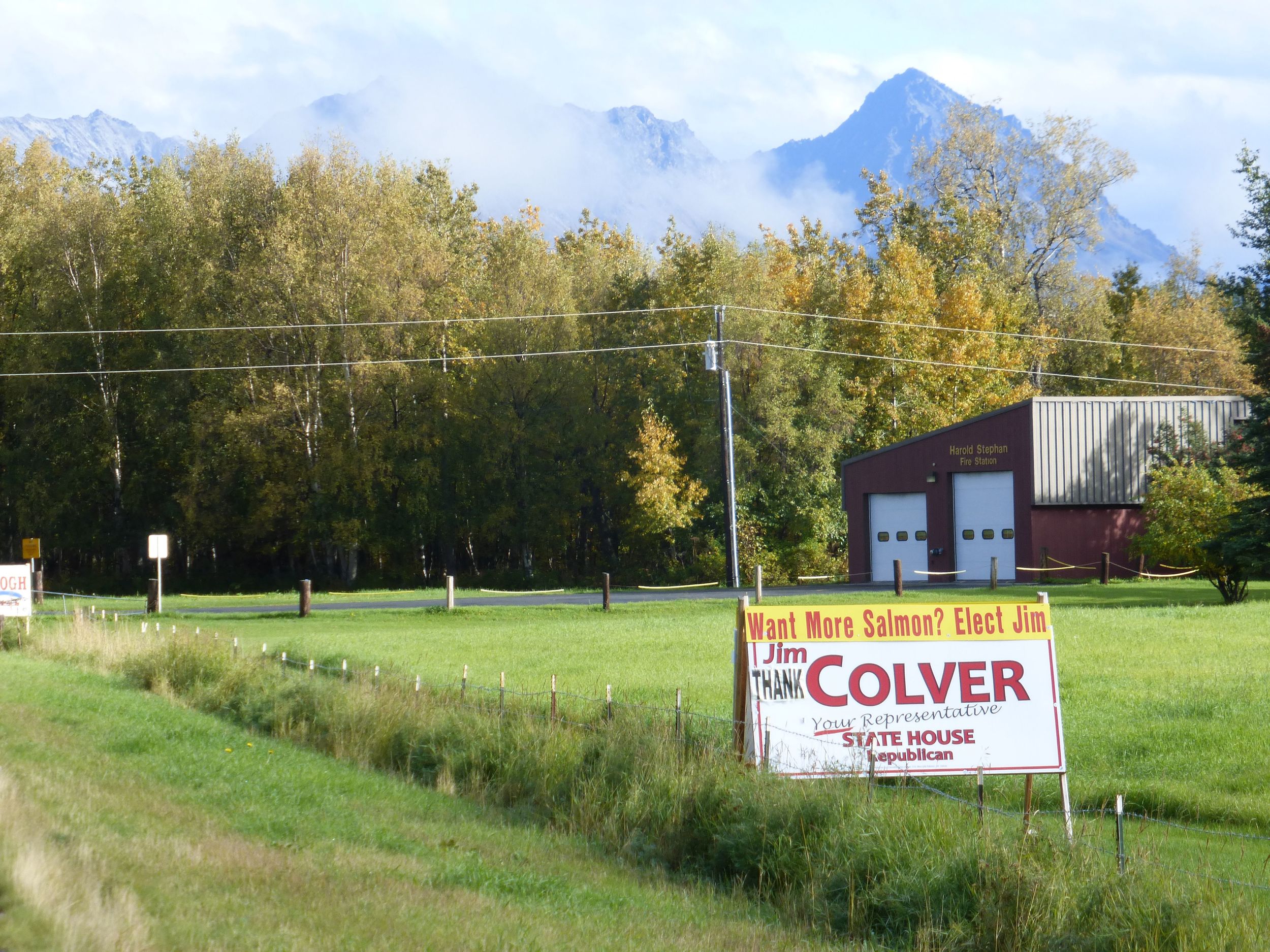
There is only one thing to do if you are hoping to win the election: promise more salmon!
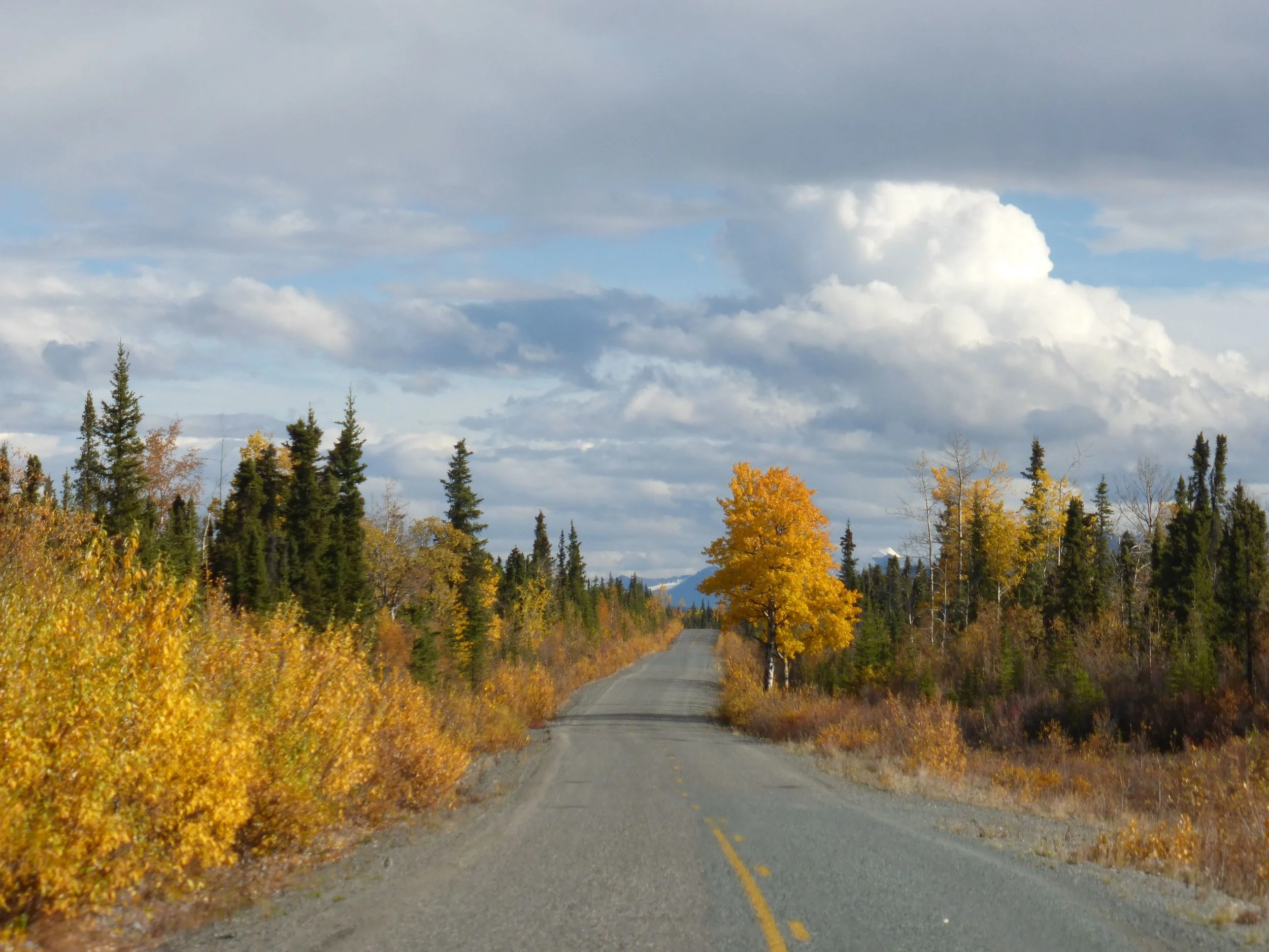
Being at much lower elevation than Denali, it was back to seeing all these wonderful fall colors,
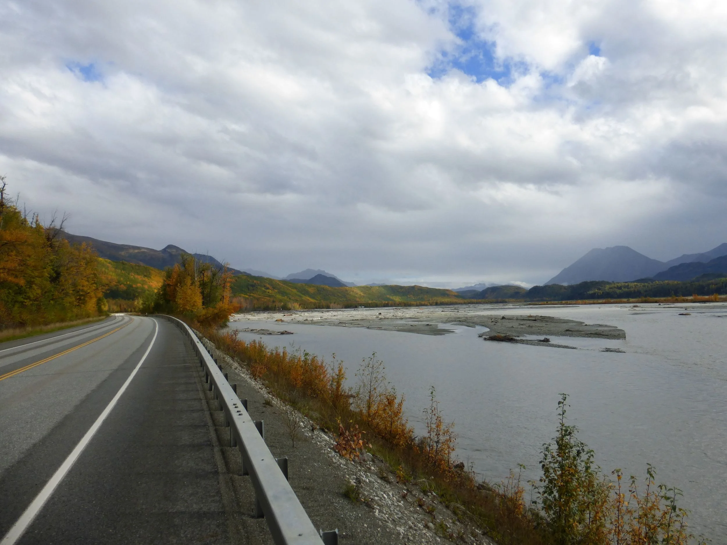
and those fall rain showers,
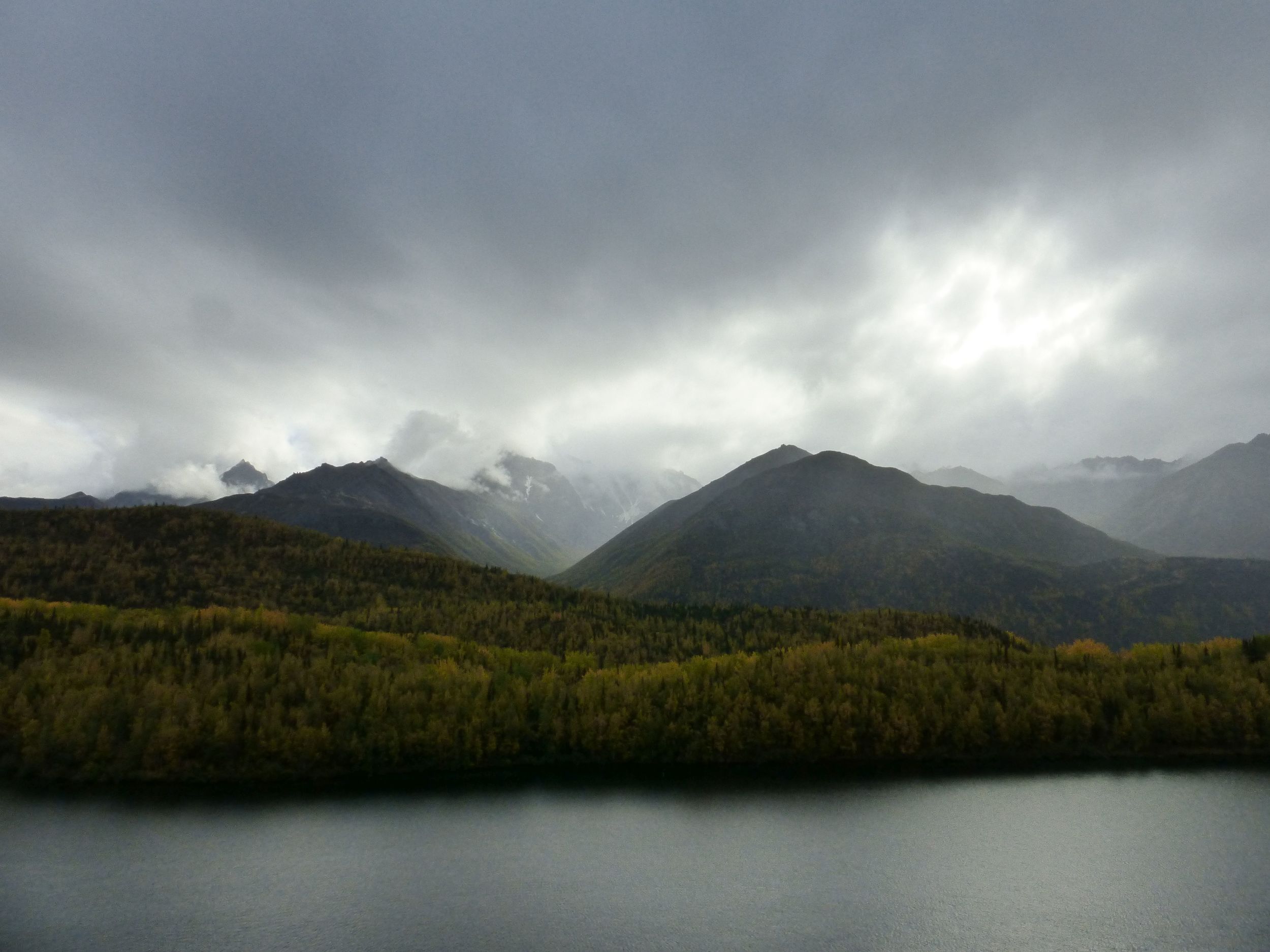
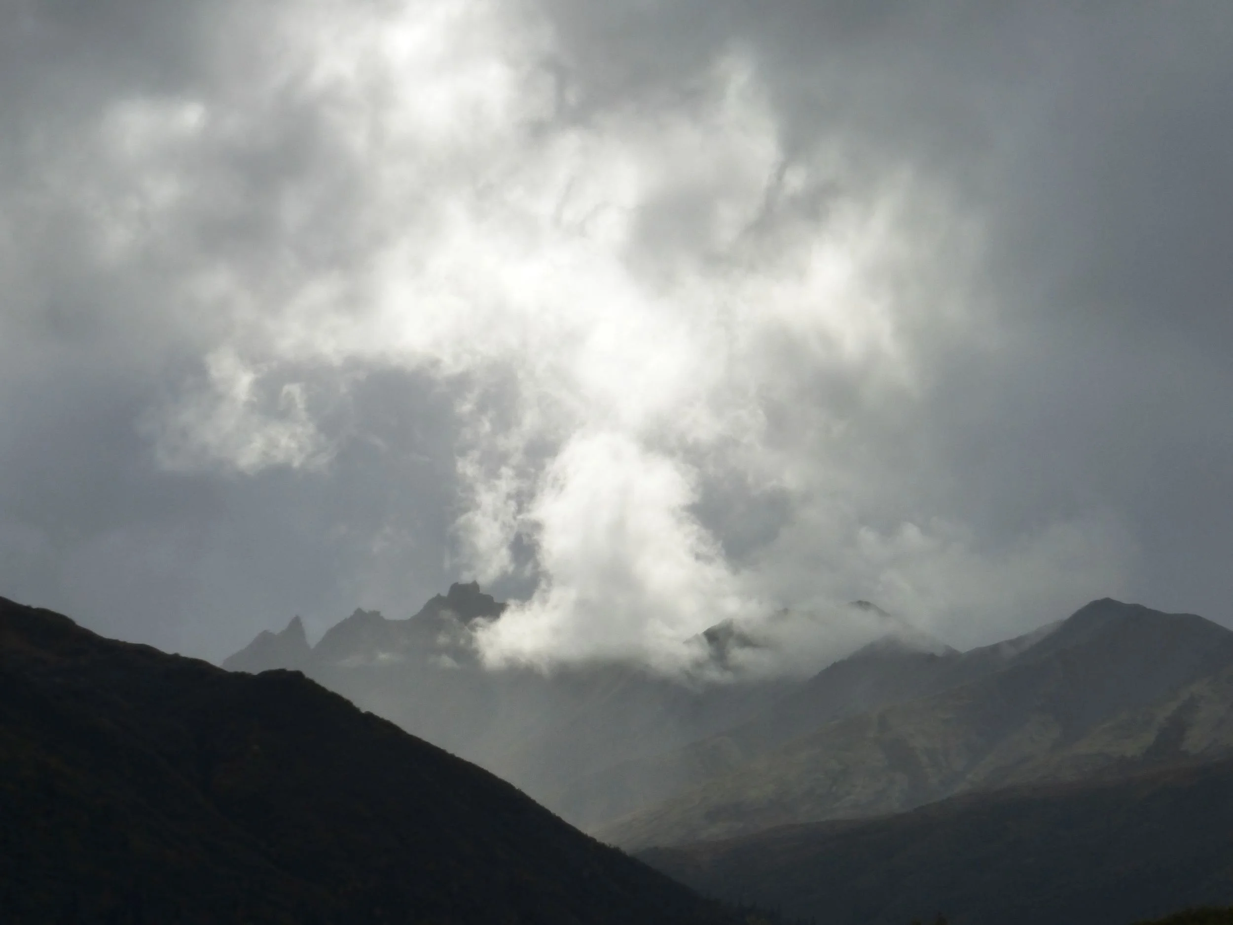
and the clouds I used to hate but learned to enjoy,
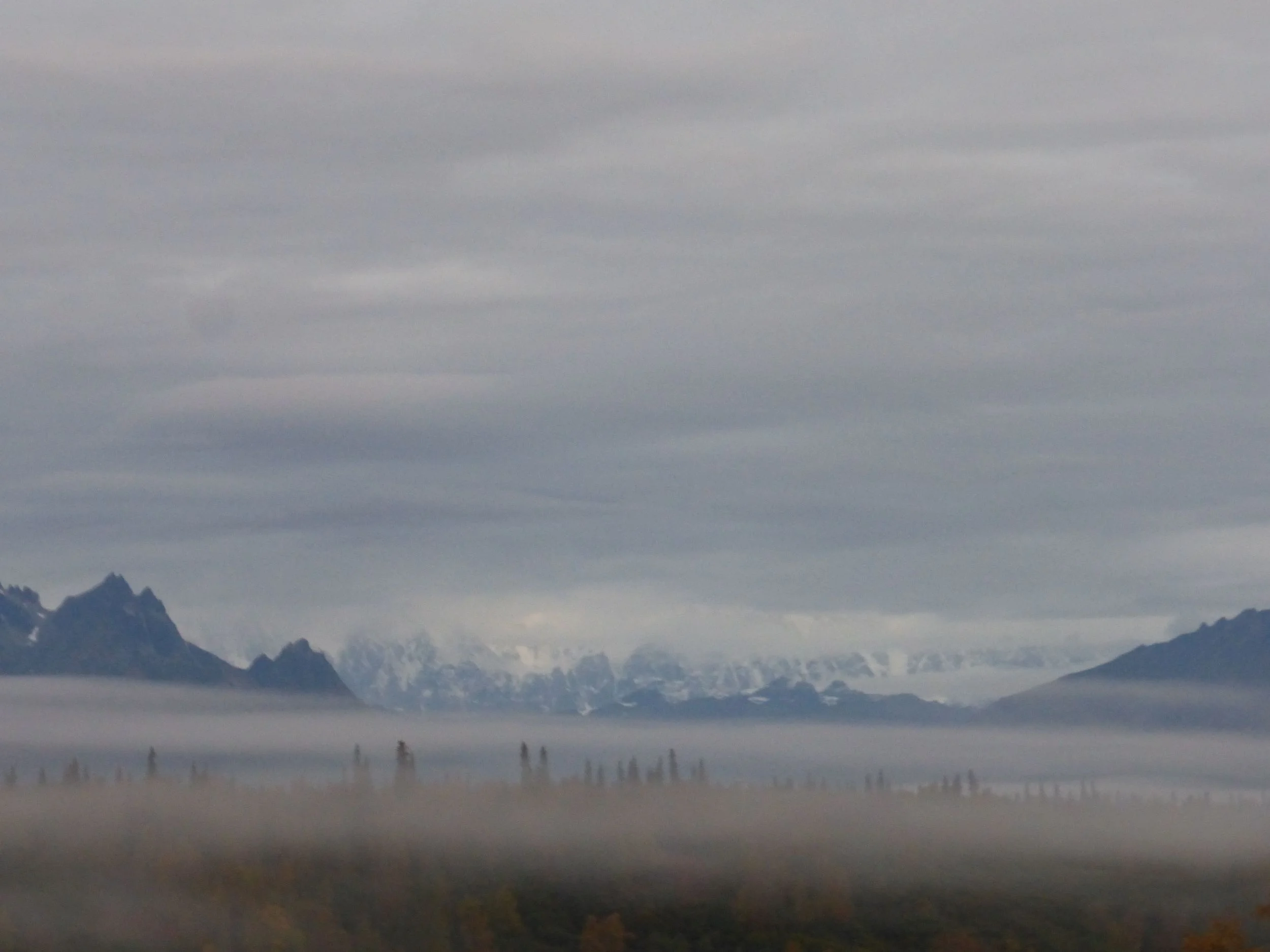
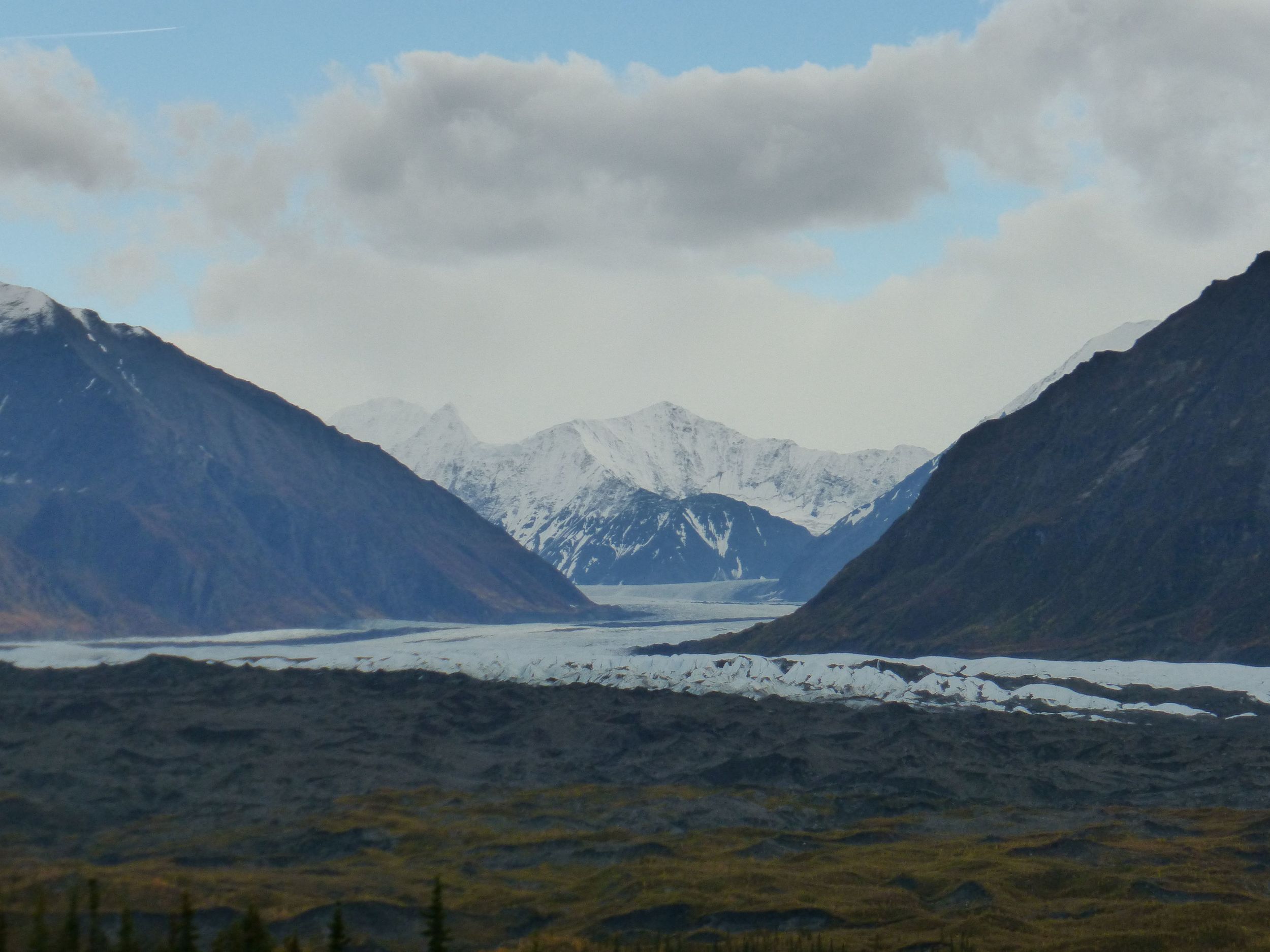
and the glaciers,
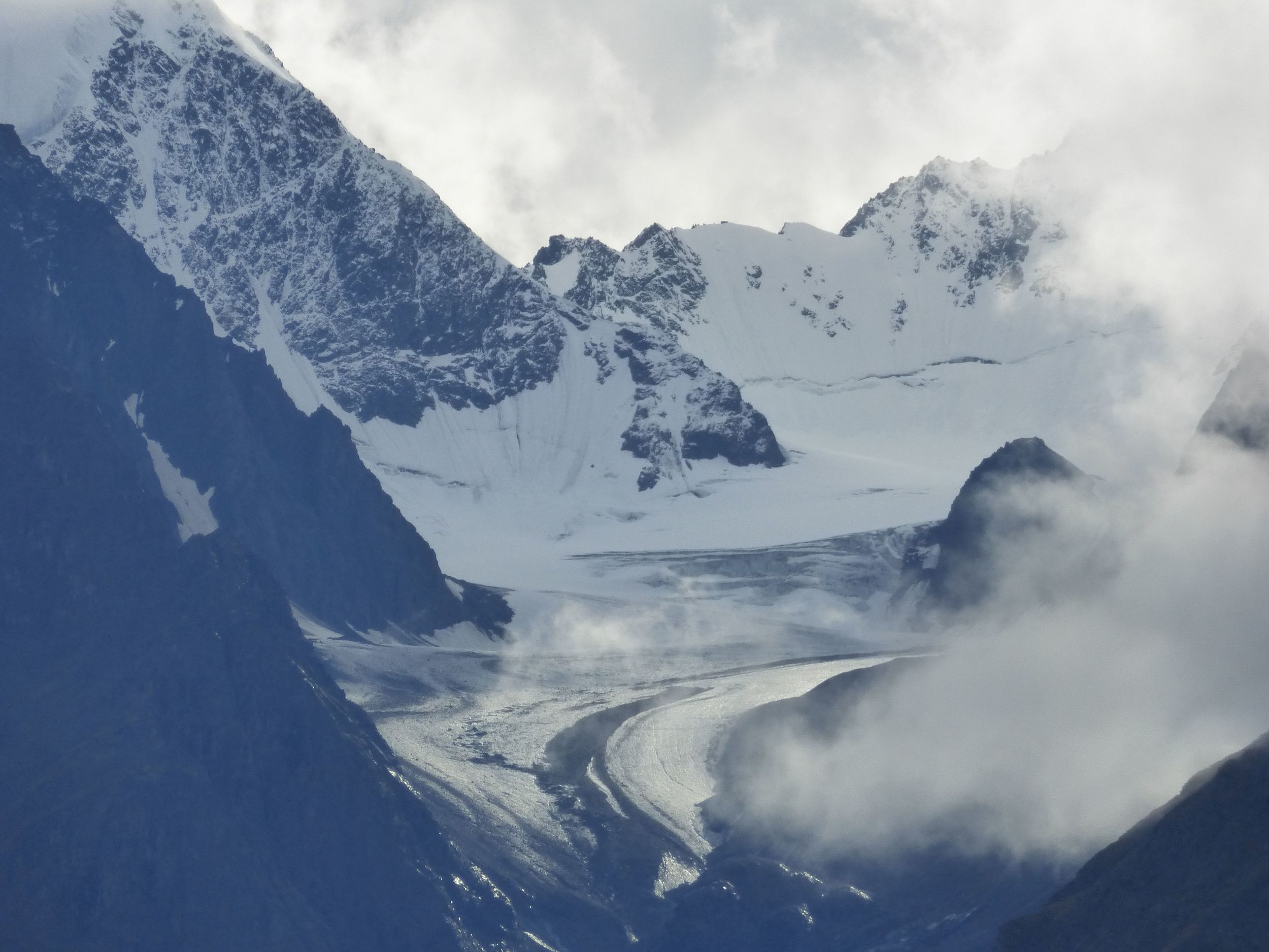
like the Matanuska Glacier,
I was loving it. Even when it starts getting darker and you have no idea where to camp.
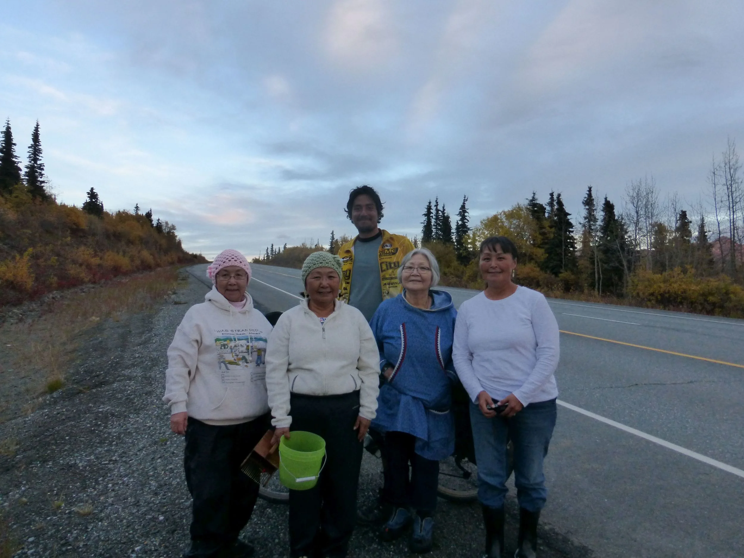
I met natives picking berries beside the road. They were very interested to hear about my story and told me they read about me in the newspaper.
(that was actually another cyclist, whom I get to meet a week from now!).
Then they proceeded to give me salmon and a traditional blueberry desert. I refused taking the salmon, as I'm downright terrified of having “night time, four legged visitors”.
DAY 5
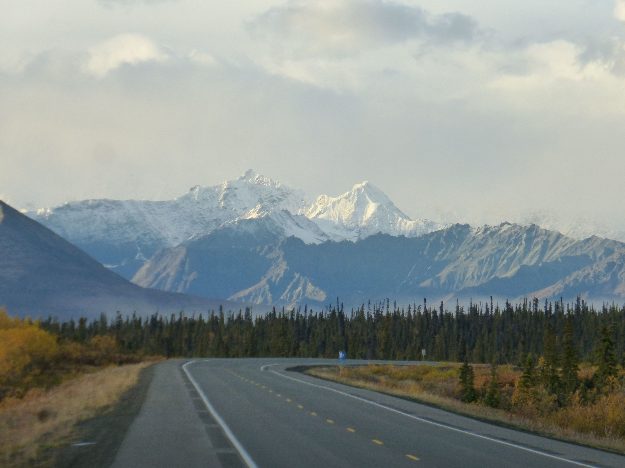
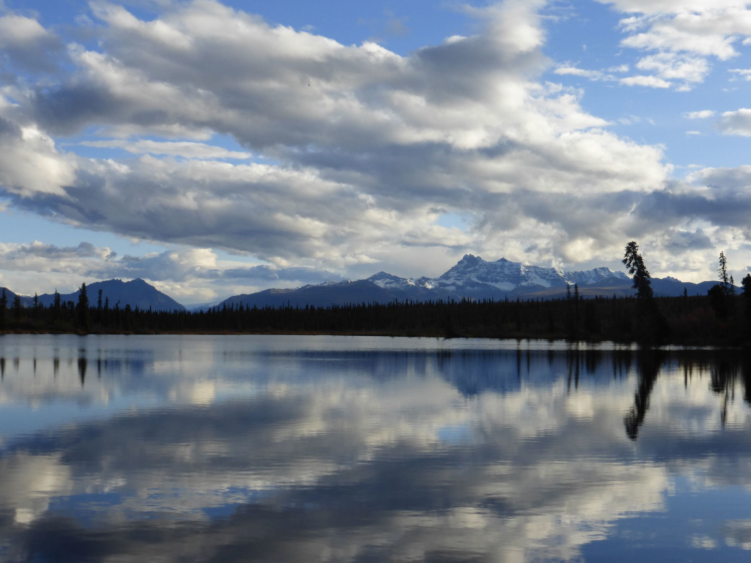
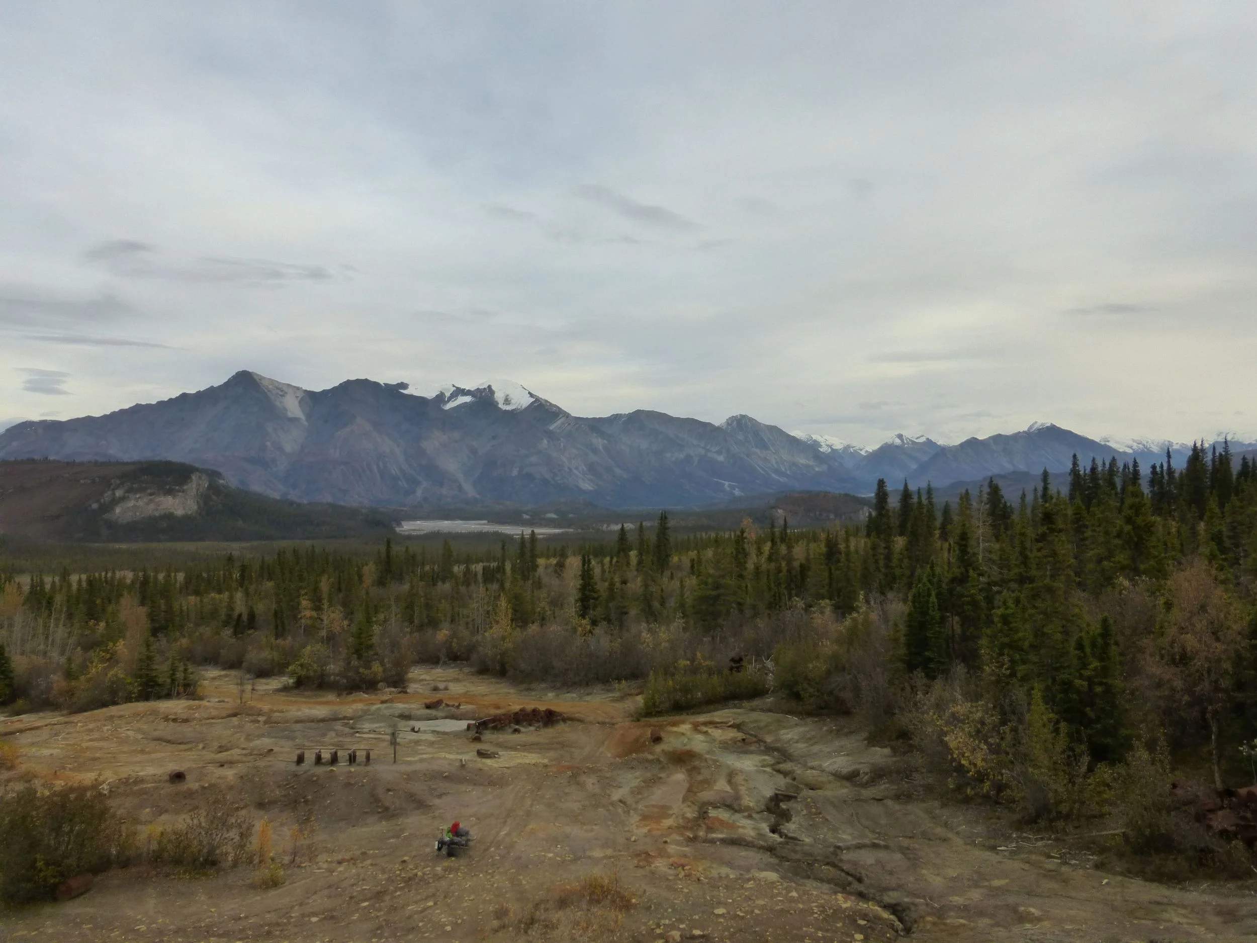
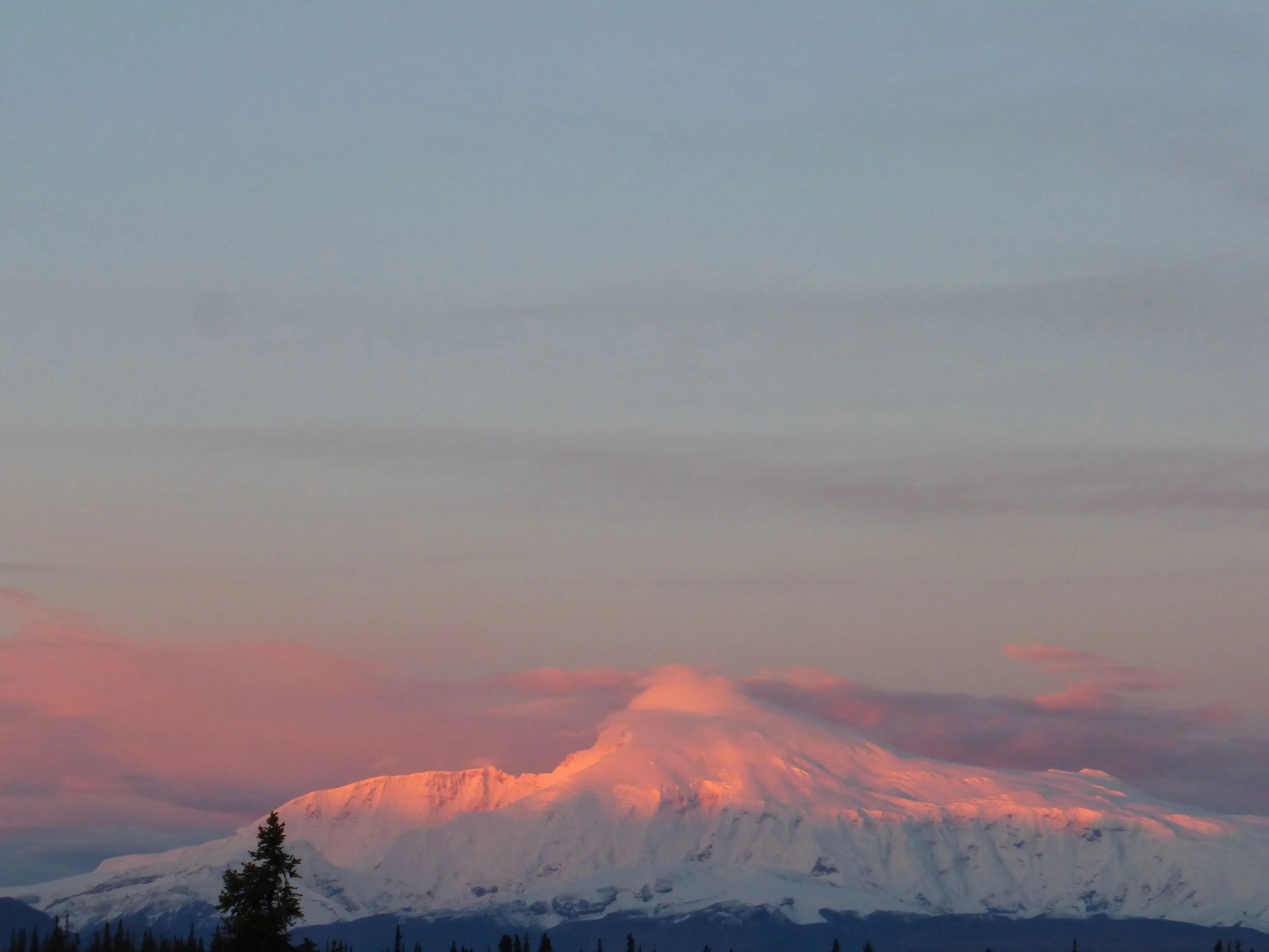
On a clear day, here you can see the Wrangell mountains. Mount Wrangell, Sanford and Blackburn. Maybe I'll get to see them tomorrow!
DAY 6
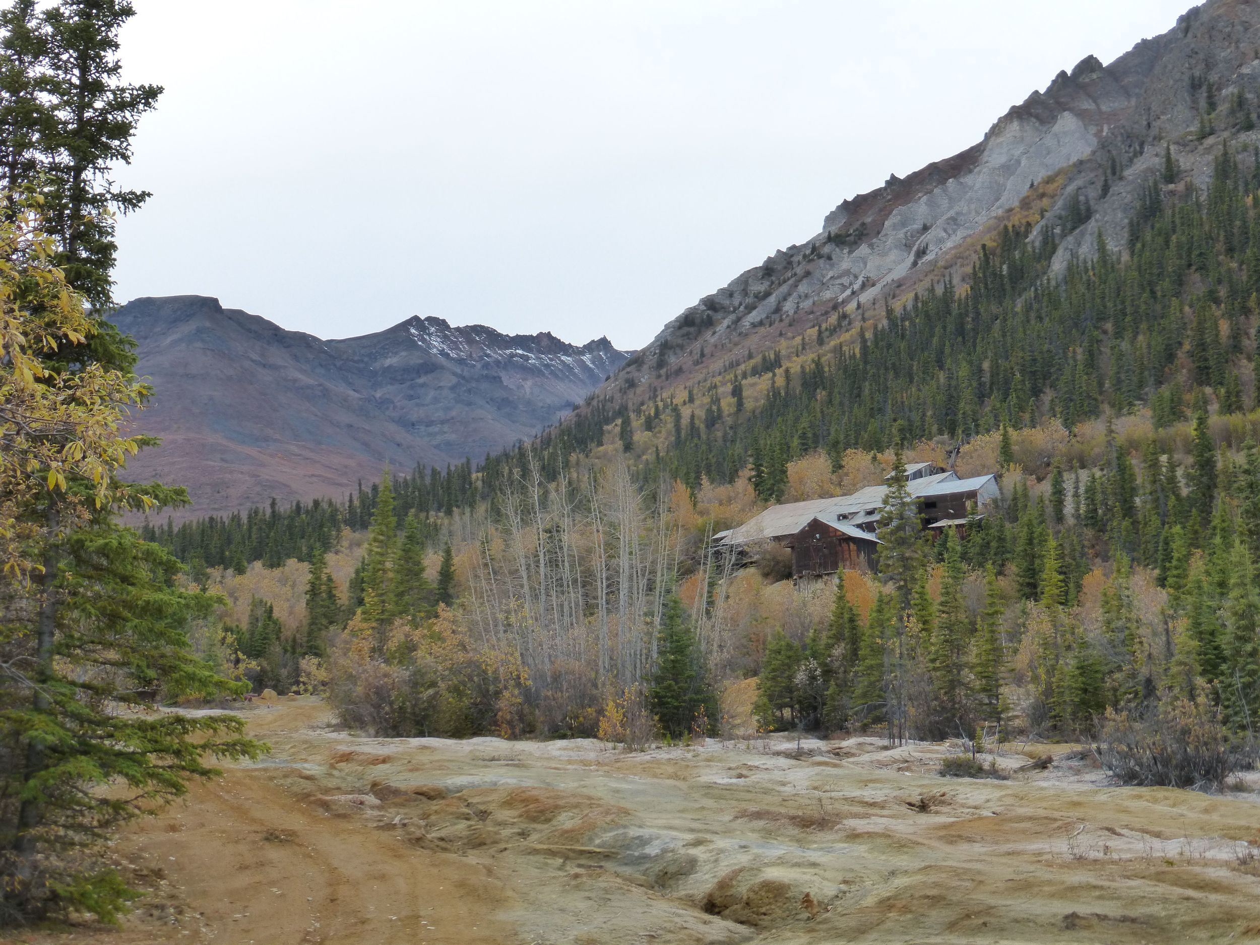
There was another one-way dirt road I've been thinking of doing: The Nabesna Mine Road, stretching about 45miles into the Wrangell-St. Elias National Park.
I didn't quite reach the campground I was hoping to visit so I just set up tent in a pullout.
DAY 7
Next morning I hid my bike in the bush and went on a hike, to an inactive volcano cone… well, half-cone.
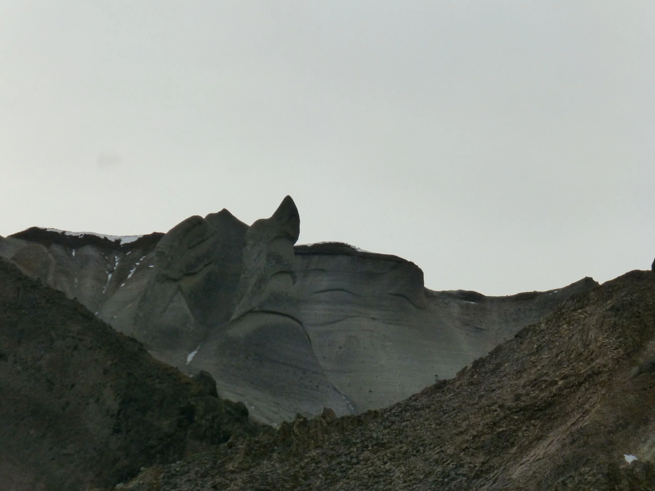
As you can see from the shot below, I learned nothing from climbing that mountain in the dark in the Brooks range. I somehow didn't notice this sandy section and on the way back it proved to be a terrifying experience.
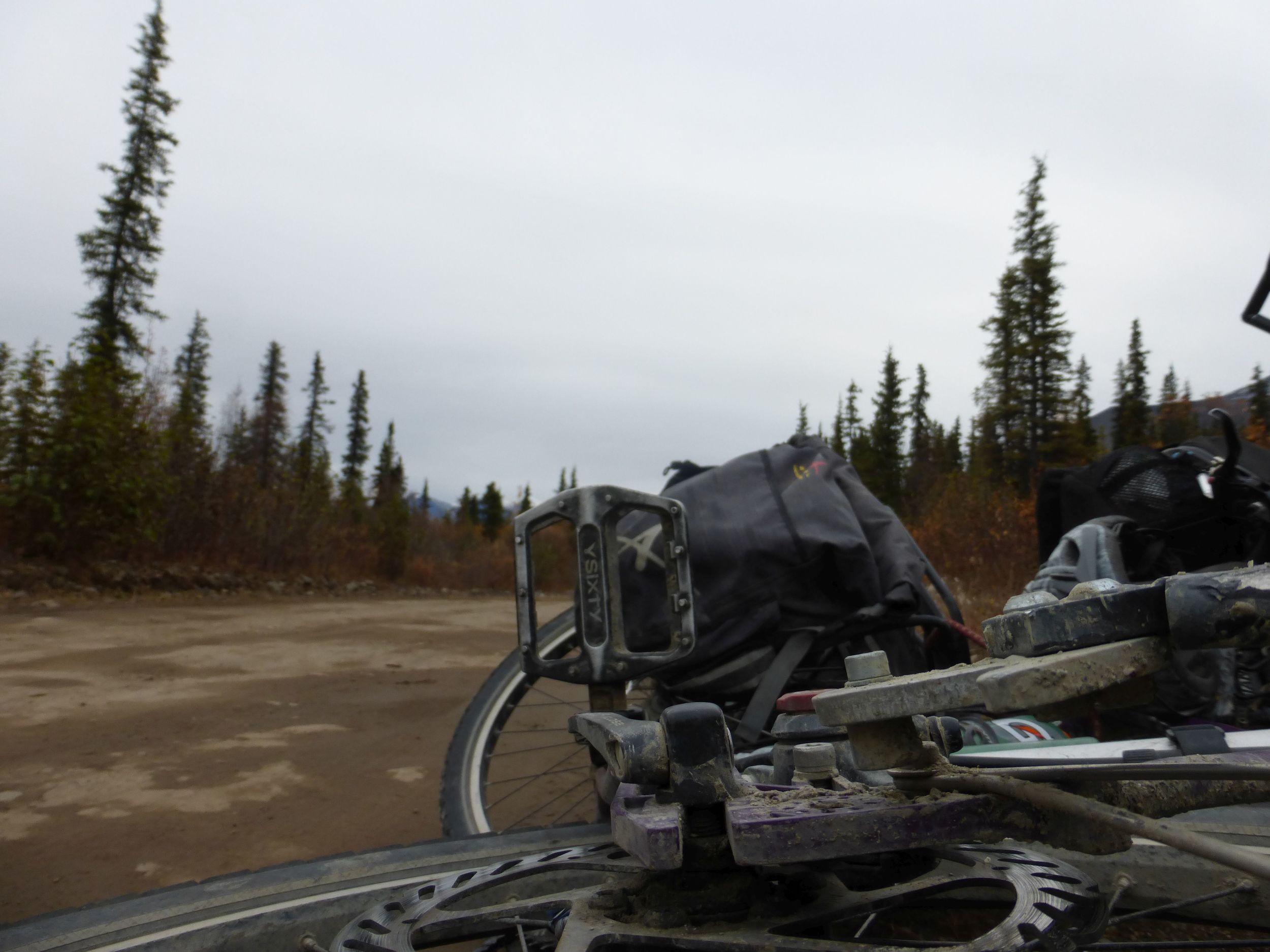
One of the bolts on the rear rack broke off. What would normally be a disaster in this location was easily avoided by switching to a new eyelet in the surly – troll frame.
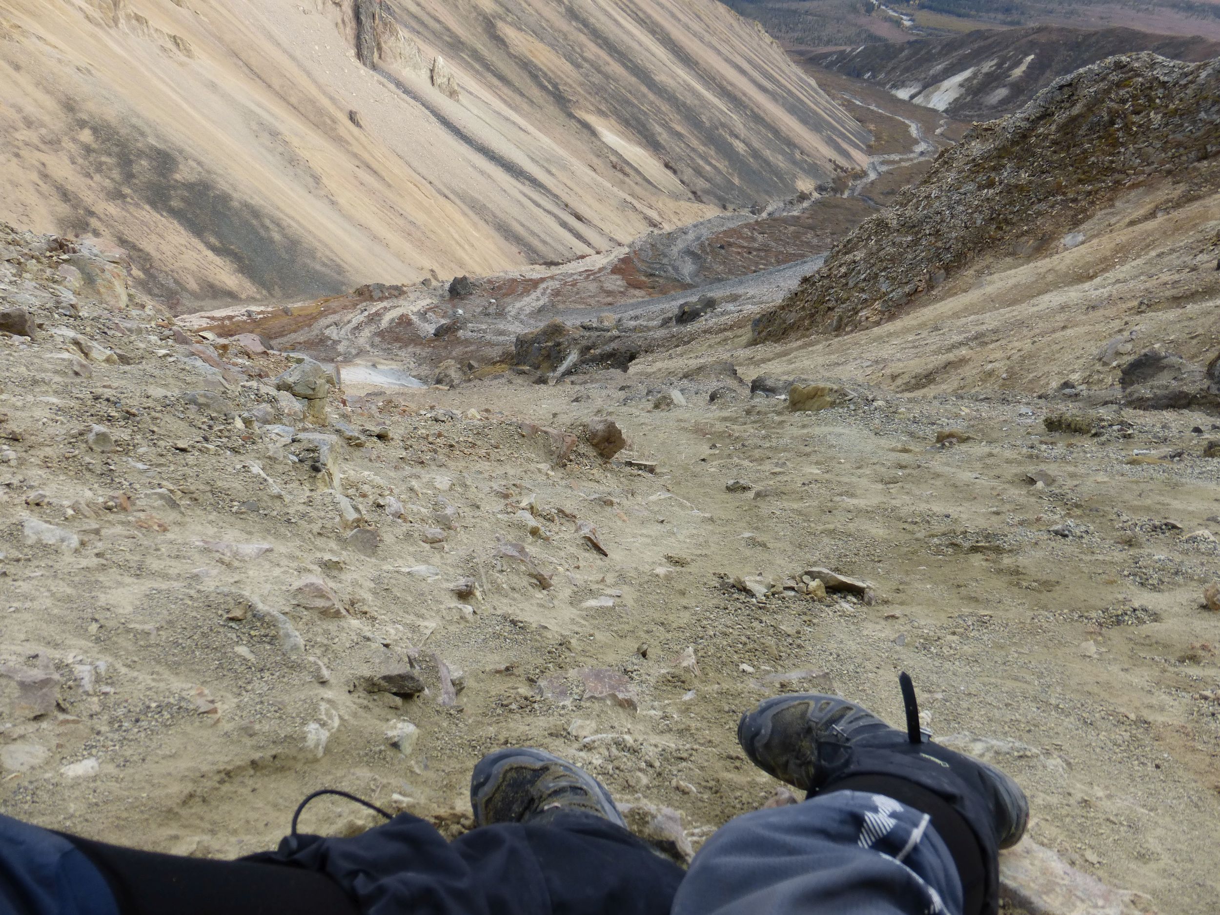
Looking back after a hike to an old mine.
Finally reached the Nabesna Mine...
turned around and continued.
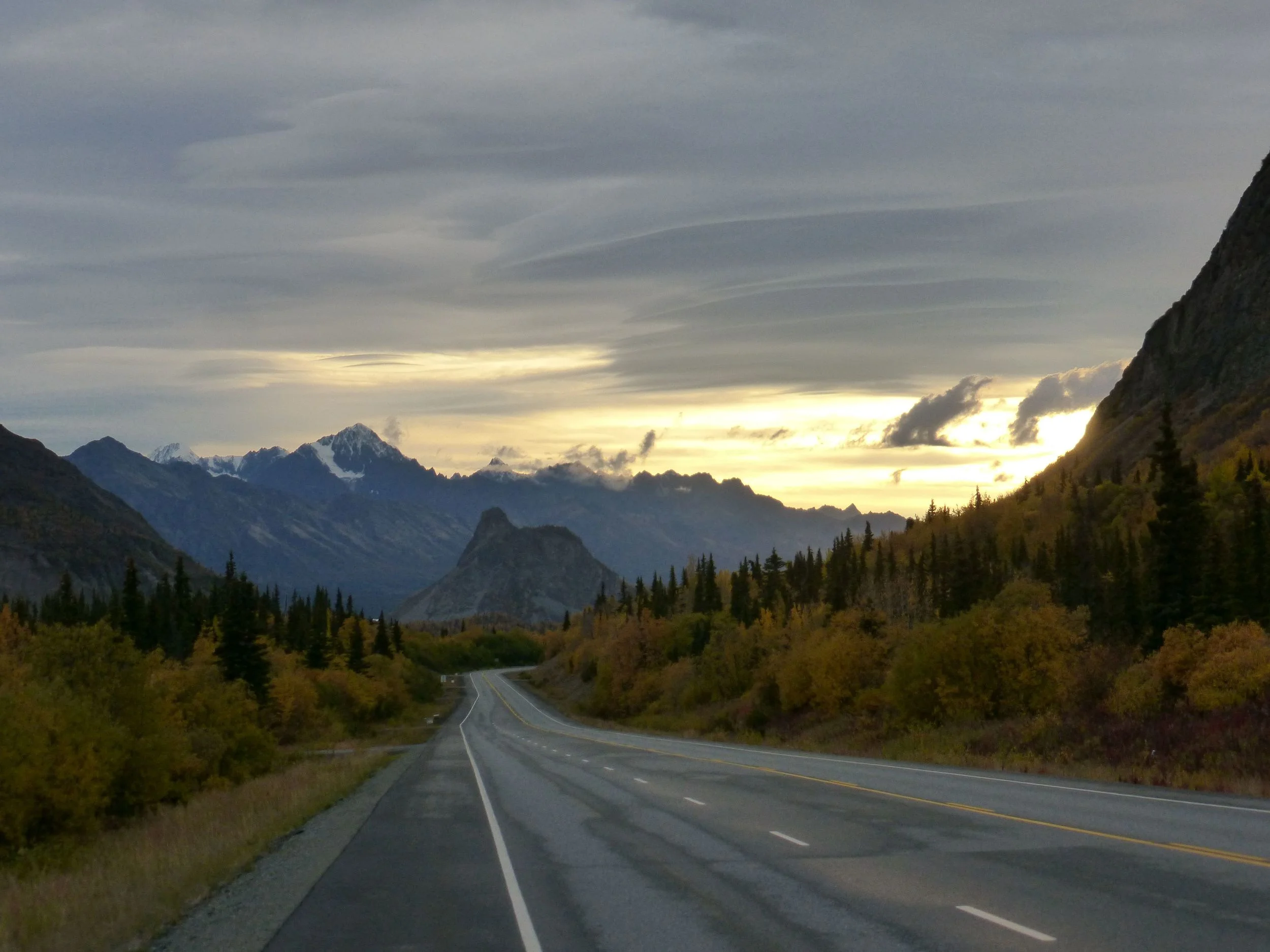
There is still a long way ahead to Haines!
DAY 8
I got up at 4:30am. Today is the day I will get to Tok and have my first burger in nearly 3 weeks. The problem is that it's 100 miles away, 40 of which are gravel. But the good news is the sky was clear!
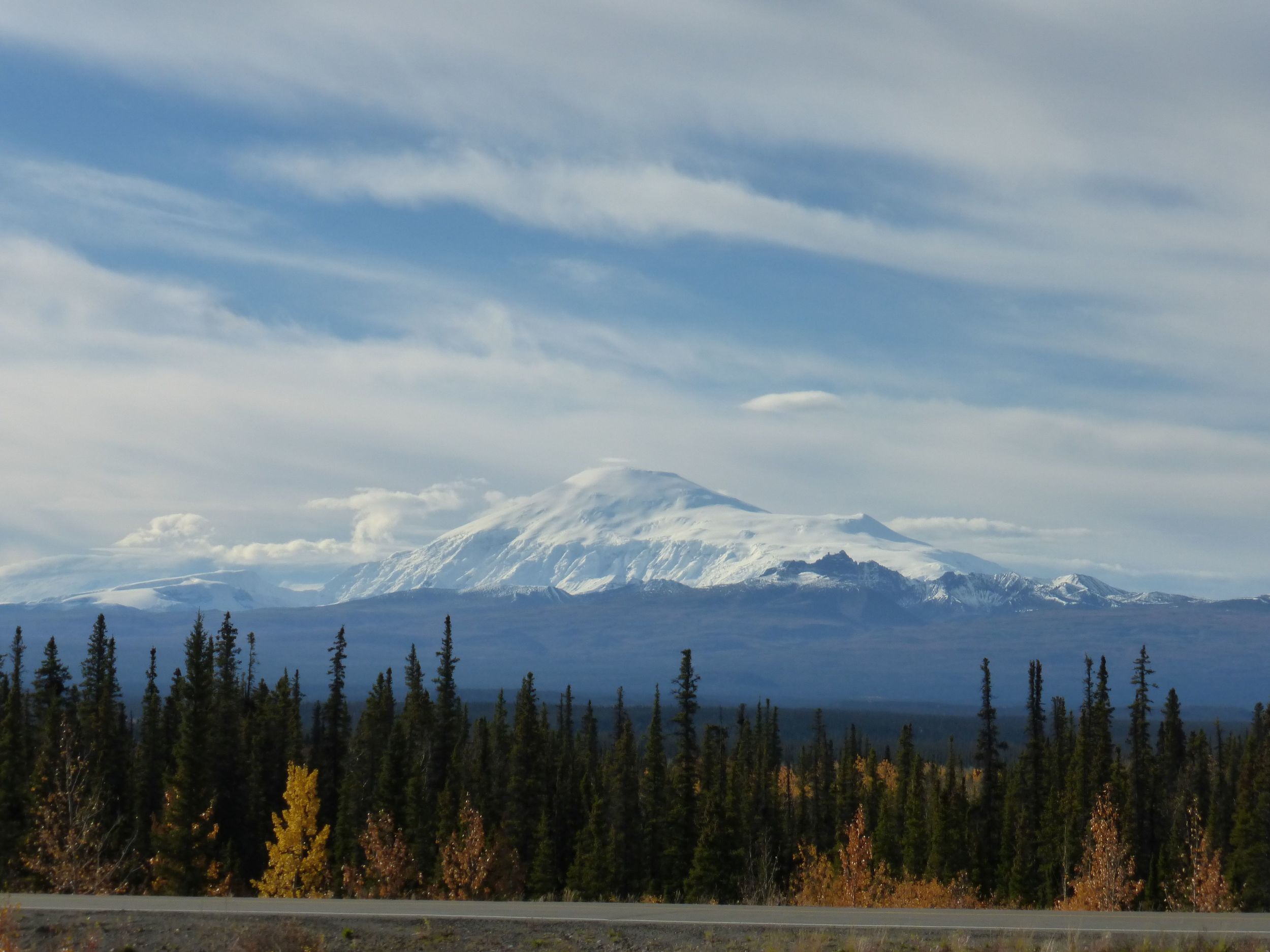
Although I had Mount Sanford for company today, all 16237 feet of it!
I turned onto the Tok highway into strong headwind. Within 5 miles I got a flat tire. I sat beside the road thinking, “I'll never make it to Tok in time...” It was 2pm and I still had 60 hilly miles with headwind.
What kept me going was one of those 5-hour energy shots that Glenn had given me back when I was hitchhiking up to the Dalton Highway. I've been saving it for “emergency”. I also thought about what kind of burger I would get and how I will sit and eat for hours.
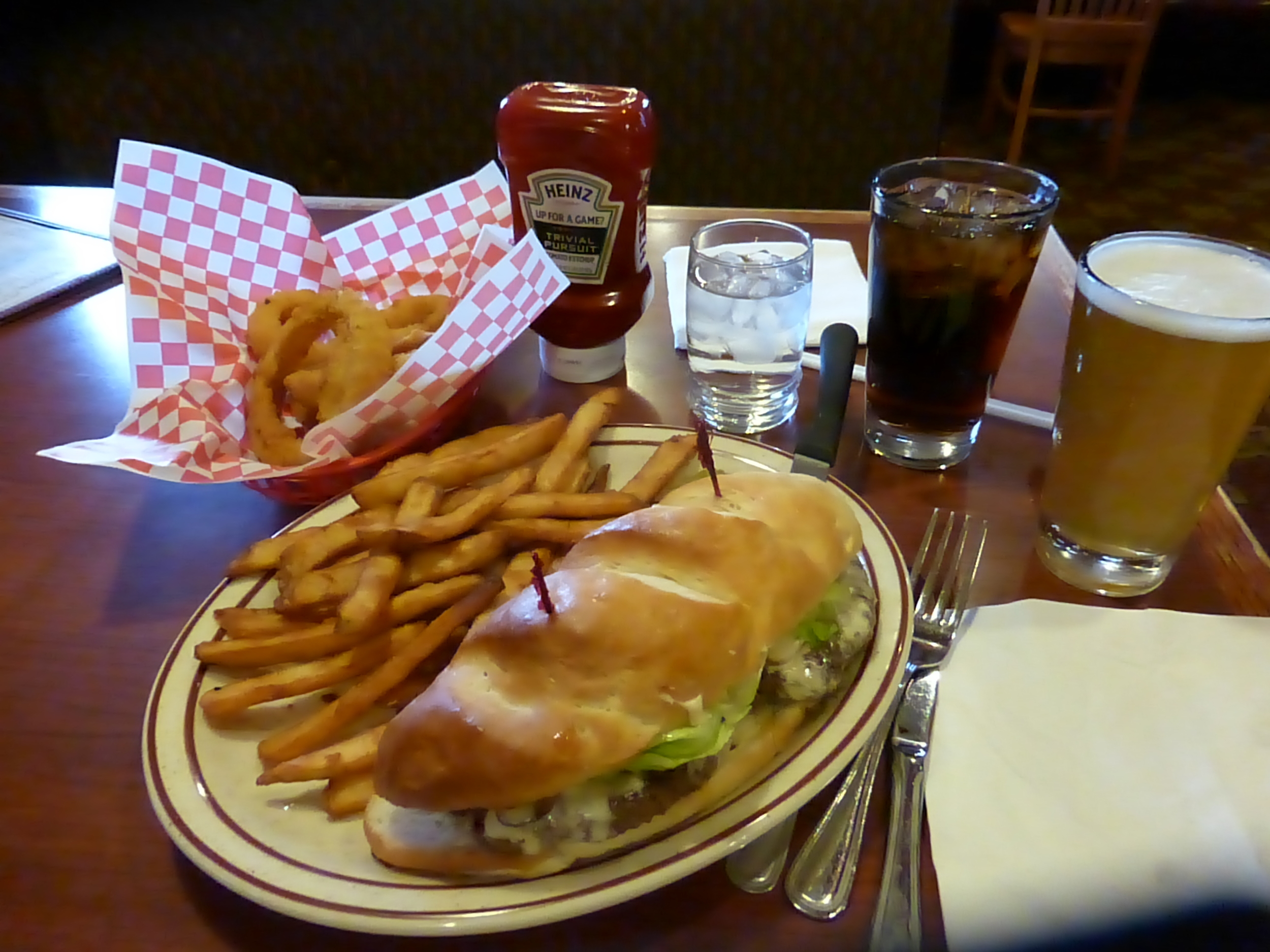
There it was, Fast Eddy's Alaska Burger! (aka: "heart attack in a plate")
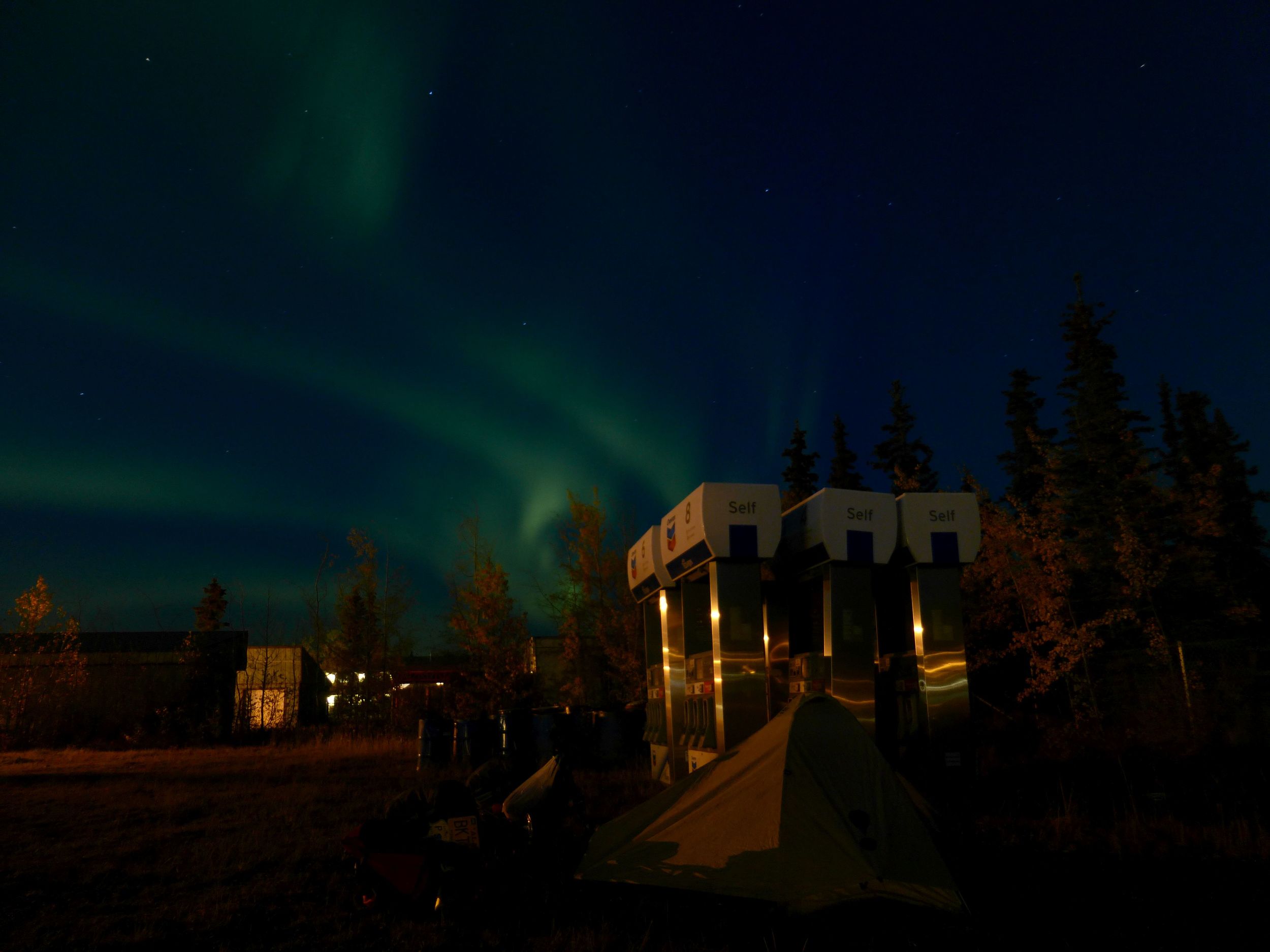
Too full to cycle after the Feeding Frenzy, I set up camp at the gas station.
DAY 9
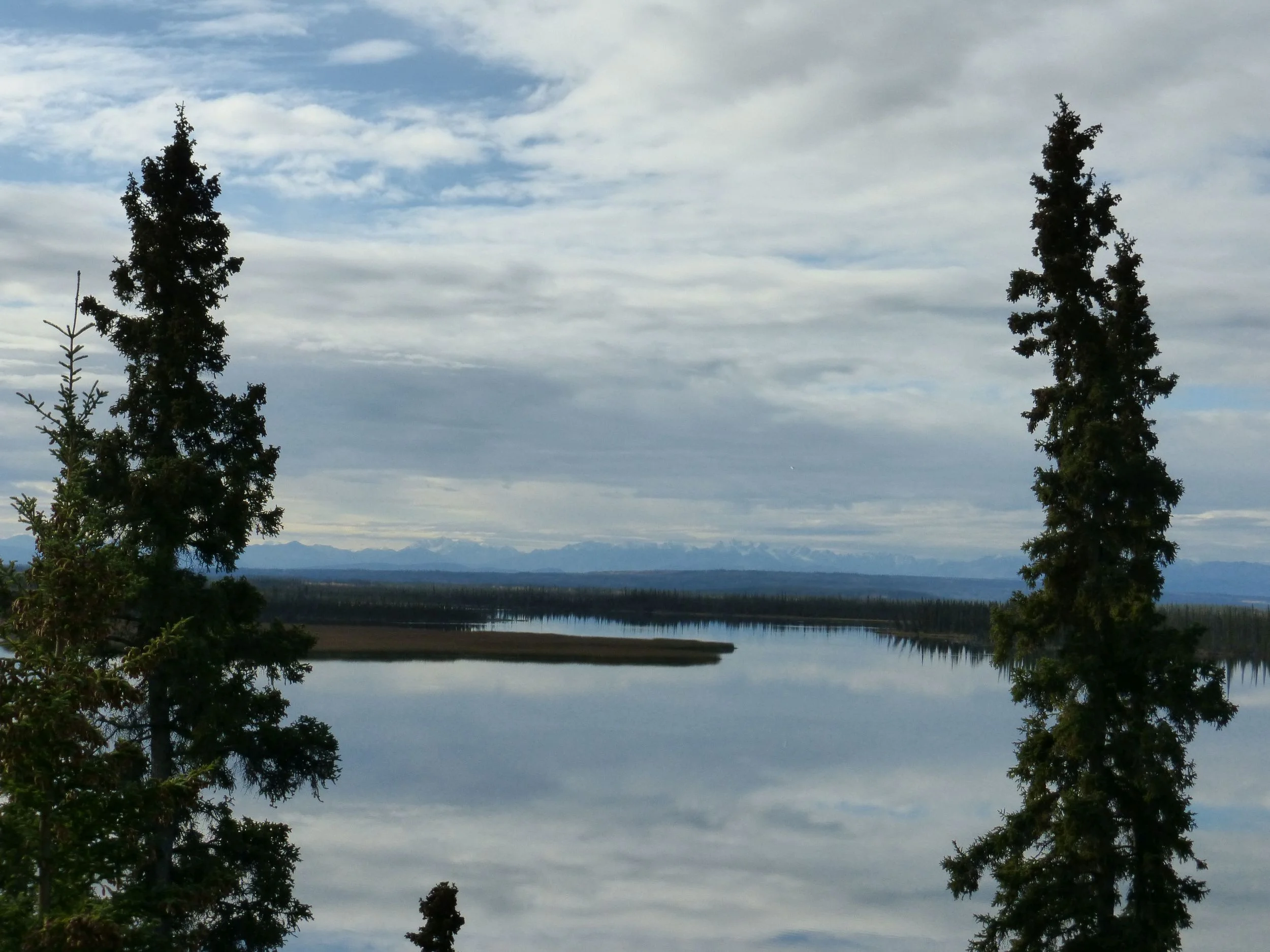
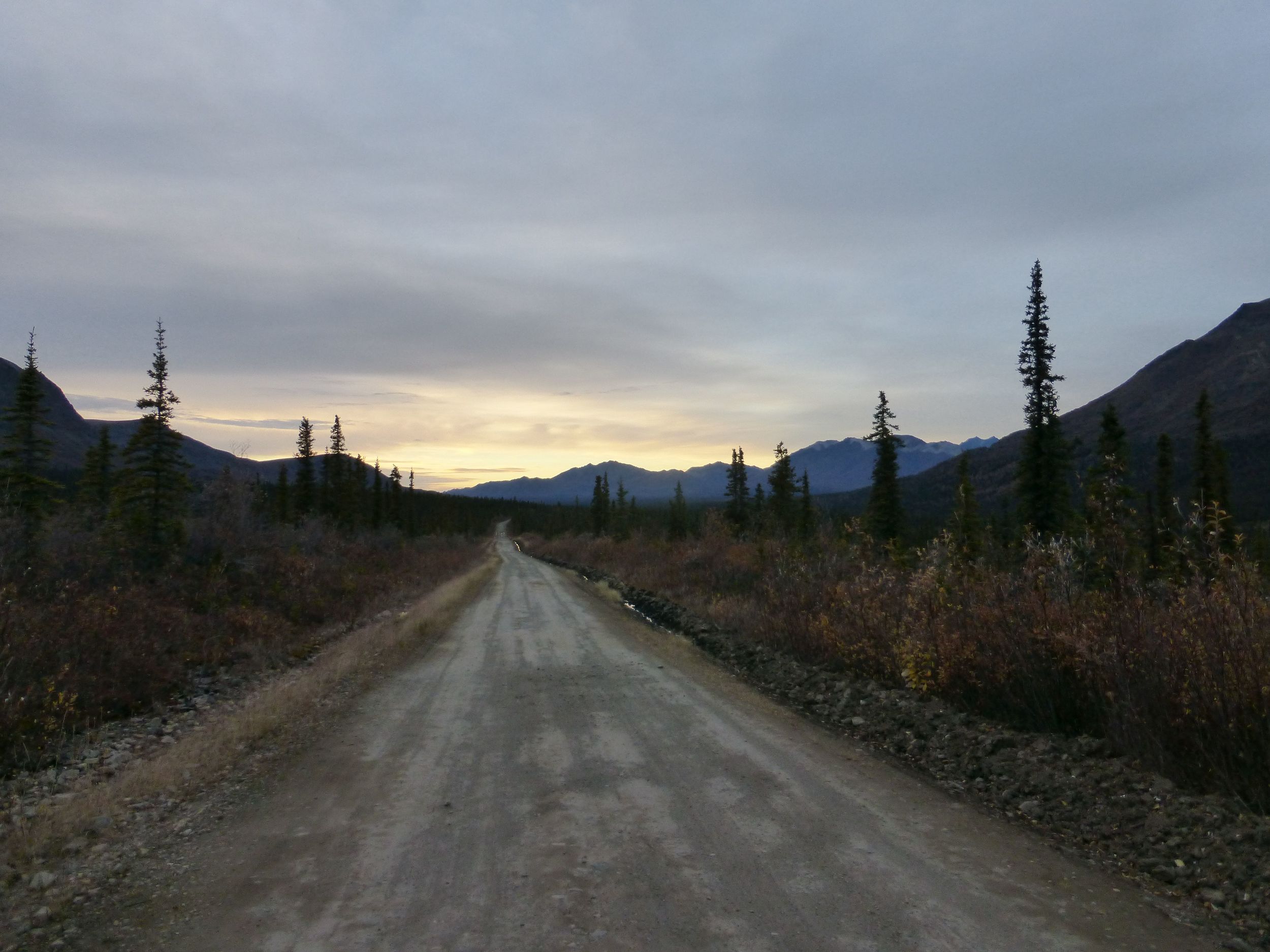
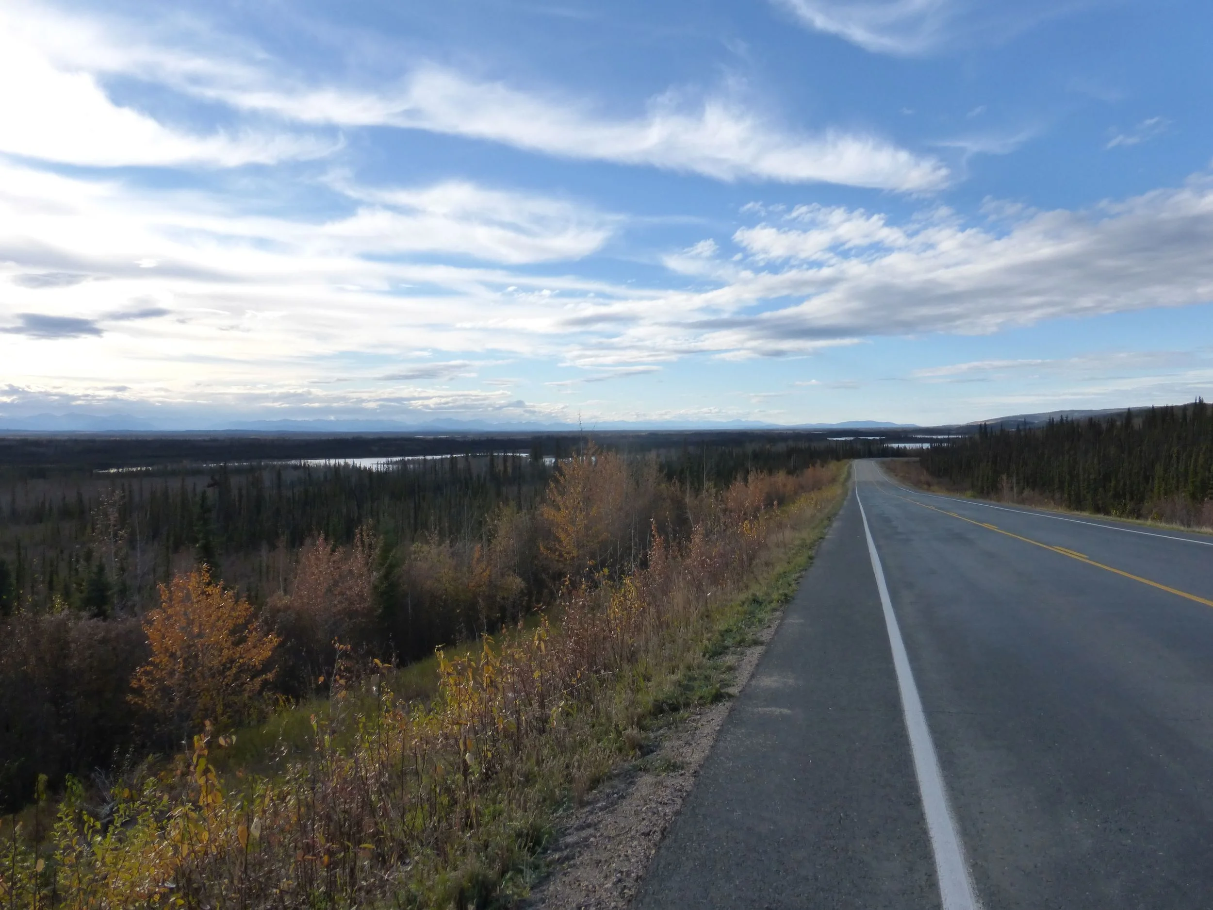
The Alaska Highway came with mostly wide shoulders and gentle grades. Lakes, trees, distant mountains and occasional rest stops with interpretive signs about the local ecology. One of those signs proceeded to explain how important mosquitoes are to the local ecosystem. They aren't here to torture humans! I've been extremely lucky on that account – I only had one buggy day!
Hidden Lake. I sat at the entrance to the lake looking at the trail disappear into the trees. Should I go down to the lake or just camp here?
Then all of a sudden a man without a t-shirt came running out of the forest. Definitely not what I was expecting to see. He was here on vacation from Germany and told me that there is a boat at the lake!
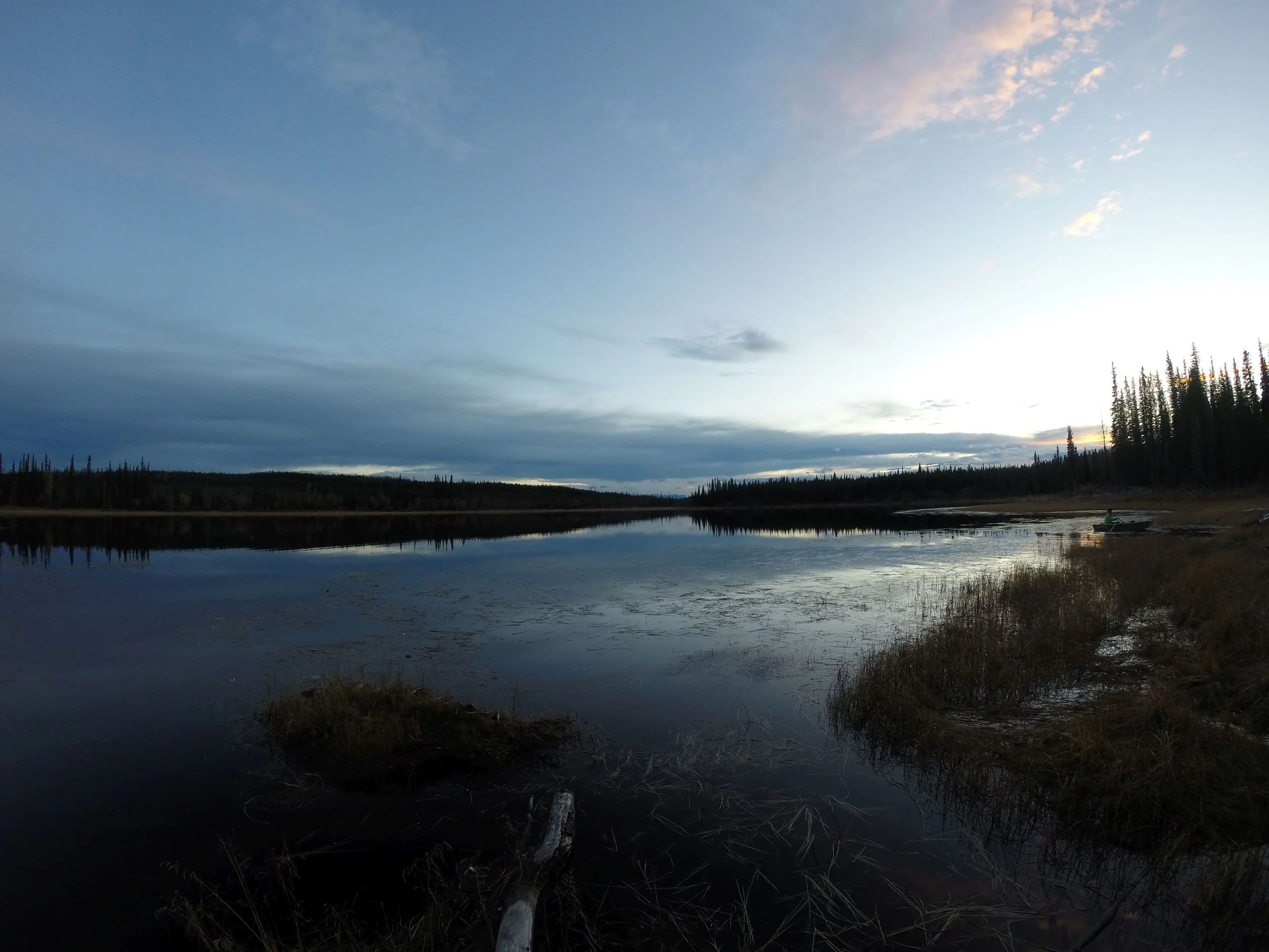
A boat! I had this brilliant idea go to out on it and eat dinner. By the time I finished and was in the middle of the lake I realized that I can't really go in a straight line. Barely made it to the shore in the dark.
The moment I entered Canada, the smooth Alaskan pavement turned into rough Yukon chip-seal. It's only 350 miles from here to my ferry in Haines but I've got 5 days to do it, would I be able to do some hiking in Kluane Natonal Park?
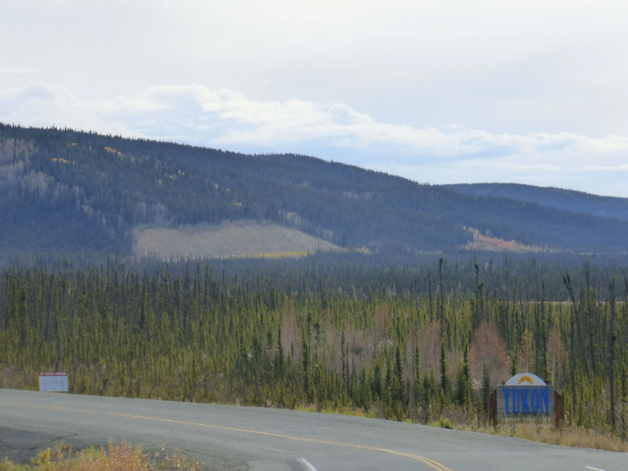
NEXT: YUKON TO HAINES