
I figured I'd share some of my opinions on navigation and what I normally use. I have a tablet (with GPS) and a Garmin etrex 20. There is definitely not a single best way to go but a little of everything works great.
Paper Maps
I think it is always nice to have a paper map wherever you are. They are much easier to look at as opposed to squinting in the sunshine at your phone screen. They are especially good in areas where even a general map will show all roads (e.x. alaska, yukon...) and lets face it, who doesn't like sitting on the road and looking at a map!
The issues are detail, weight and actual navigation. You can find good detailed maps for an area but they would only cover a small section of the trip, thus you would have to carry more of them. For example, British Columbia has amazing backcountry maps but they can be rather bulky. In Mexico, I had Guji Roji road atlas which was great to plan a general route and know the names of towns on the way but not detailed enough to know every turn or if the road crested around that mountain or climbed 2000m to the top.
Taking photos of good maps also works. You can zoom in with the viewfinder on the camera after. Often you will meet people with better maps than yours!
Cant get lost on the roads in Alaska, even if you try really hard...
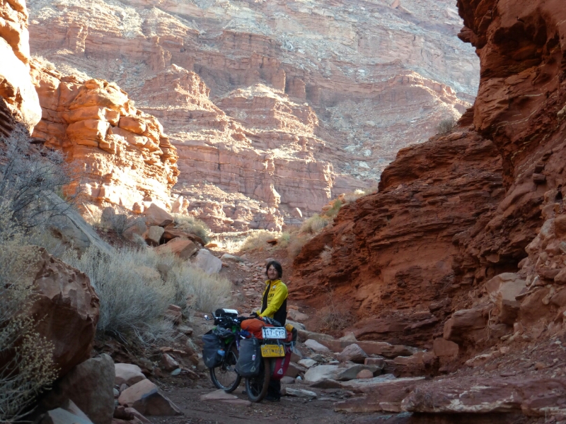
Google maps

google says there is a road here... maybe 10 years ago?
Using them on a tablet (or phone) works well, you can't change the route unfortunatelly but walking or biking directions often give you what you want.
You can load up the Satellite or Topo view and scroll around and when you leave town the areas remain cached (until you restart your device). This is by far my favorite feature of Google Maps.
Now you can save offline areas, which is great but I always save the topo map and sometimes have the offline area as a backup.
Drawback is that you need wifi which can be difficult to find in certain areas.
maps.me (app, offline maps)
Great app. You can download offline maps and routing and use them on the go. If your device has GPS you can pinpoint your location without any service (same goes for google maps, alpine quest). Maps.me has less roads than google maps but all of them are actual, passable roads and as a bonus: its free!
Alpine quest (app, offline maps, gps tracks)
This one allows you to save offline topo maps and I use it for hiking. It also has a track manager where you can load gps tracks (e.x. CDT, GDMBR) and that is pretty handy. The main advantage is that you can download and load tracks right from your phone/tablet and if needed create your own track, in case you want to backtrack or... you hide your bike in the forest before hiking and want to make sure you can find it 3 days later.
Note: premium version was something like 7$ CAD

Riding a river in Northwest Territories
Garmin etrex 20
I primarily got this to make navigation on CDT and GDMBR easier. Doable with a phone but having it infront of you at full brightness is much more convinient. Entering in Mexico, somebody gave me an amazing topo and road map for the whole country so I was glad to have the gps.
However, after that all I had was a super large scale topo and road map of north america which was almost useless. But I found a different way to map my route - especially backroads where you can easily get lost (see next paragraph)
The pros are that it runs on AA batteries and lasts a good time even at full brightness and nowdays there are a lot of gps track you can find to help you navigate.
Google maps + gpsvizualizer (website) garmin + etrex
In Central America its fairly easy to find cyber cafes where you can use a desktop pc (in USA and Canada, libraries work great). Here is how this worked:
1. I would go into google maps and map out the route I want to take and grab the shareable link to it.
2. Go to www.gpsvisualizer.com and click on "convert to gps", input the link from google maps and you have a nice .gpx file that you can then put on the garmin.
Cons is that you need a PC for this and all you get is a gps track to follow (no topo map unless you already have one).
Its amazing to know for sure where your road goes... even if you have to update your definition of a road.
Asking locals
This is pretty much the best way to go. I can't tell you how many times I have been pointed to awesome roads by local people. There were times where thats all I had to go on. Cons: beware of people in cars telling you how long it would take you to the next town.

But sometimes, why not ignore the maps and what people say and take a left!