Fomeque, Colombia. March 14, 2017
So the Chingaza park was closed to bikes, camping and even hiking on most trails. But who in their right mind would go out to the paramo in the cold rainy season. One thing on the map seemed out of place: long stretches of roads without many towns. It was Paramo Sumapaz, then another one and another, it would be a shame not to go.

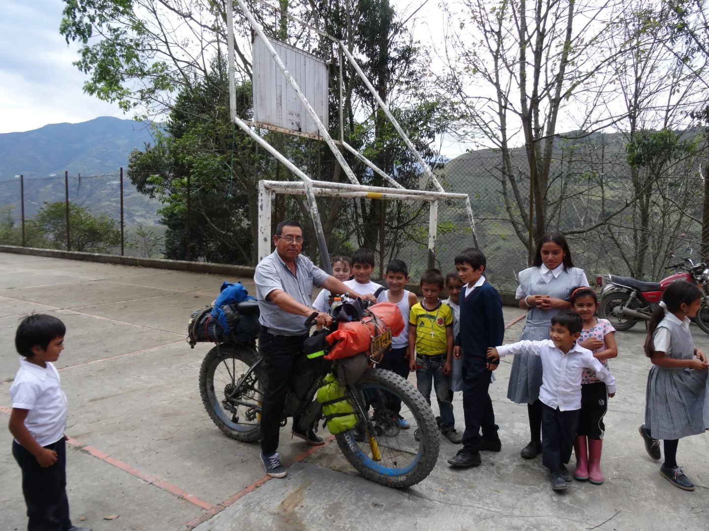
Oscar biked out with me for half a day and we stopped at a small rural school. There was lots of excitement and some awesome pineapple juice. We went over english words but luckily I didnt get any homework. But most interesting was when we were leaving, Oscar gathered the kids and told them:
"Remember, everything is possible" (todo es possible)

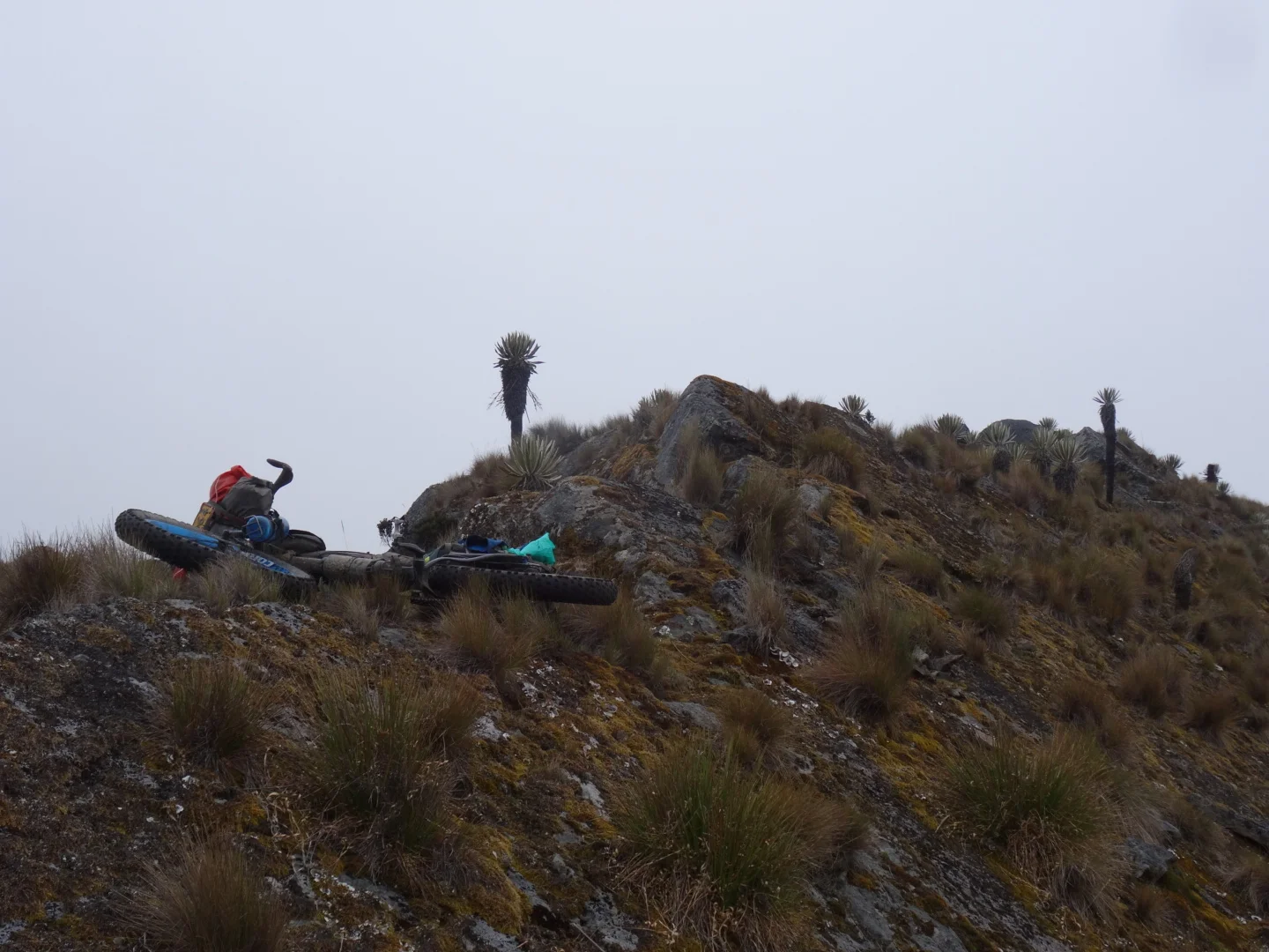
well if the bike falls here...

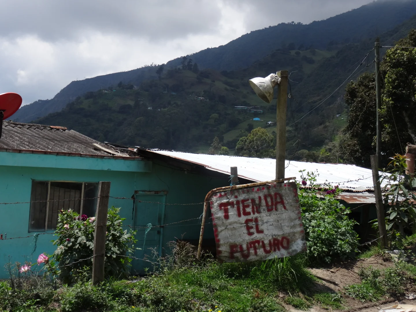
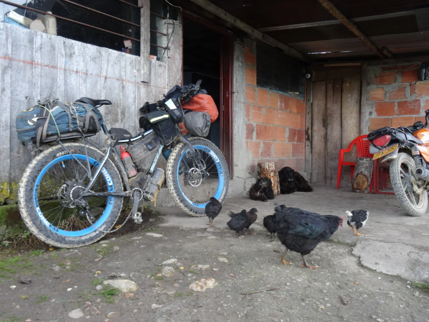
On the other side of the mountains and heading to Fosca one can find the new Futureshop, lots of dogs and a man painting his house.


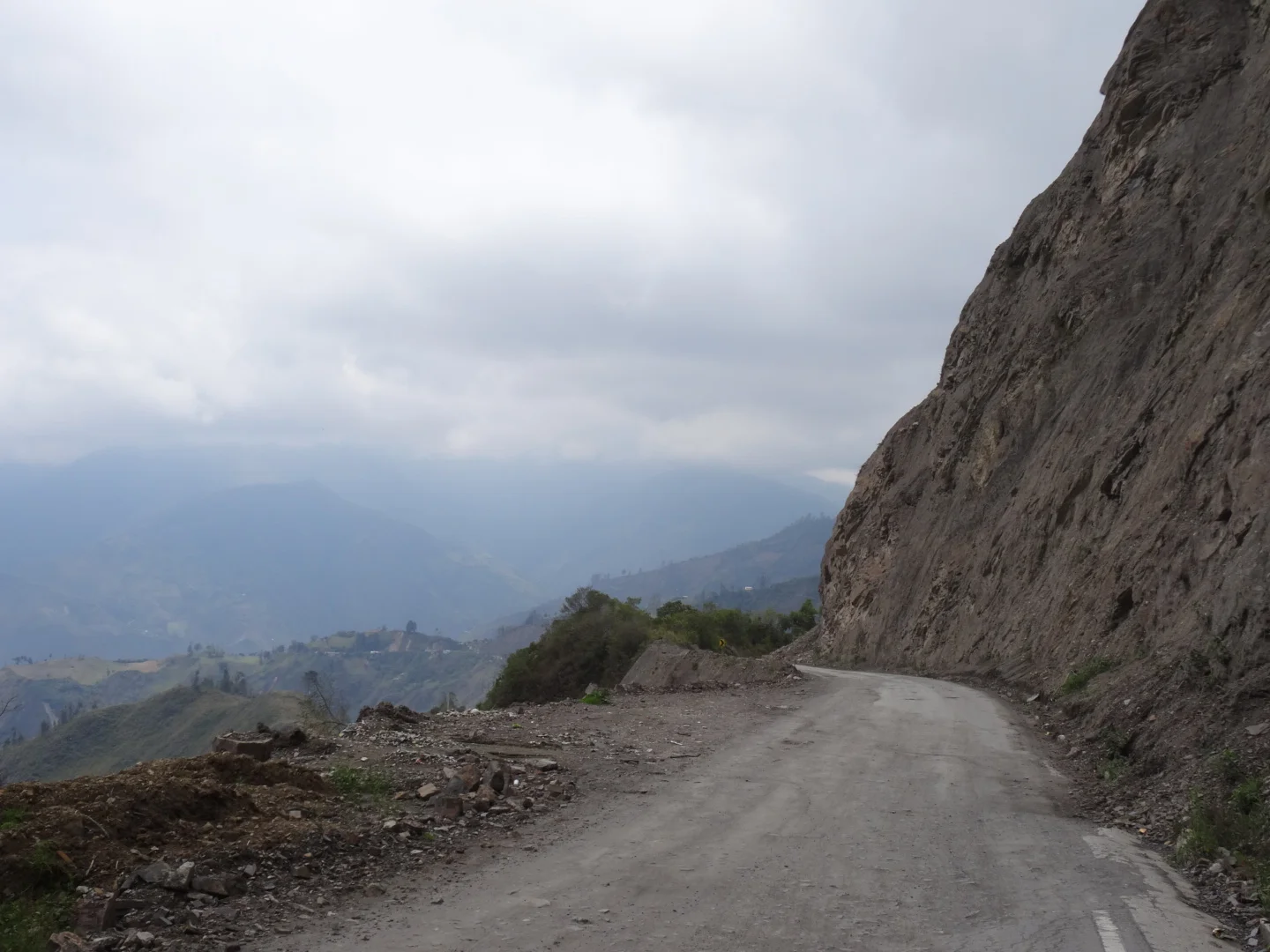

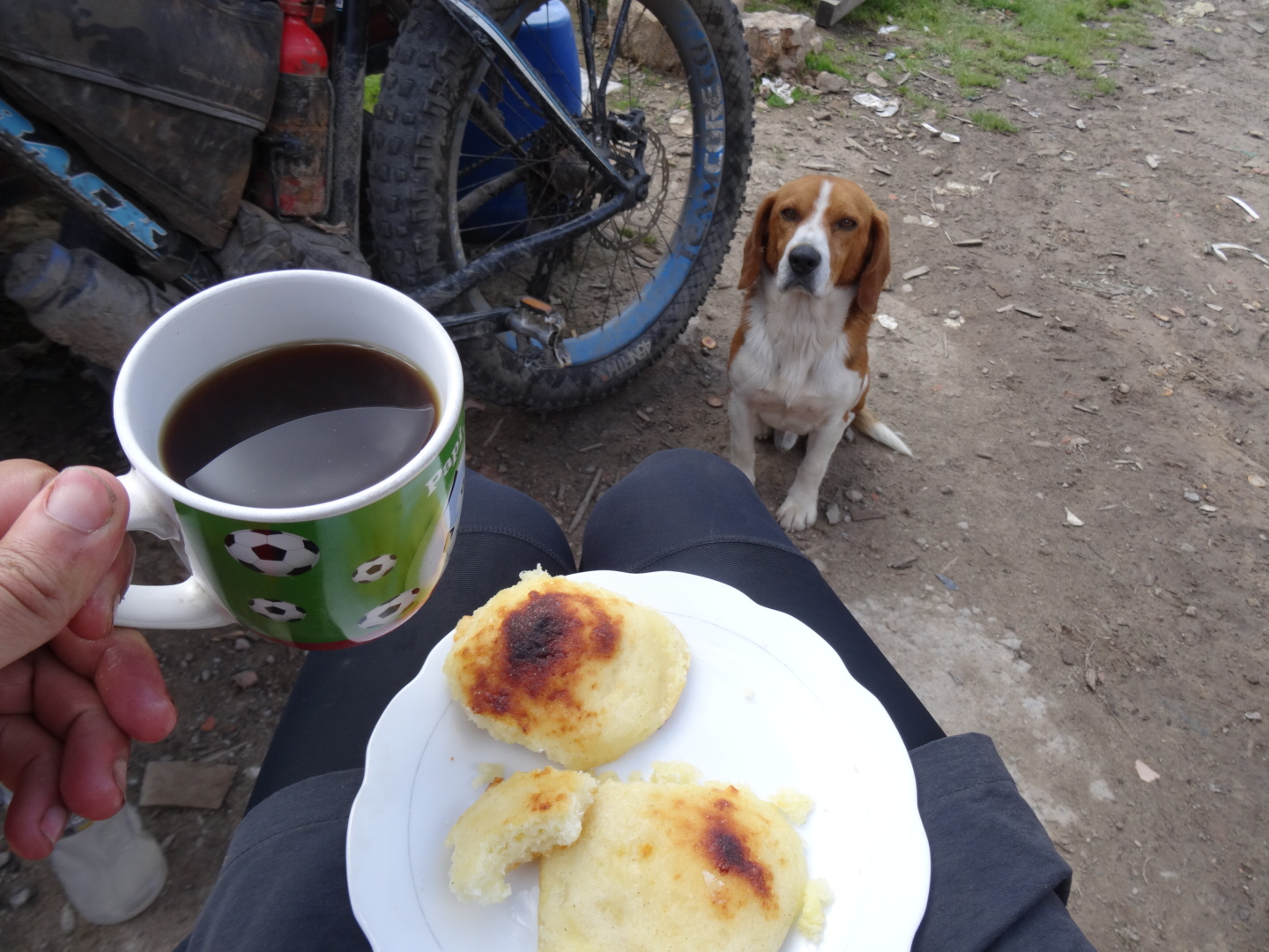
At Fosca, I sit by quietly while Fathorse interacts with the locals and then stock up on food. Cheese, sausage, chocolate, mayonaise, powder cappuchino and a stick of butter. There is no telling when I will find those next.

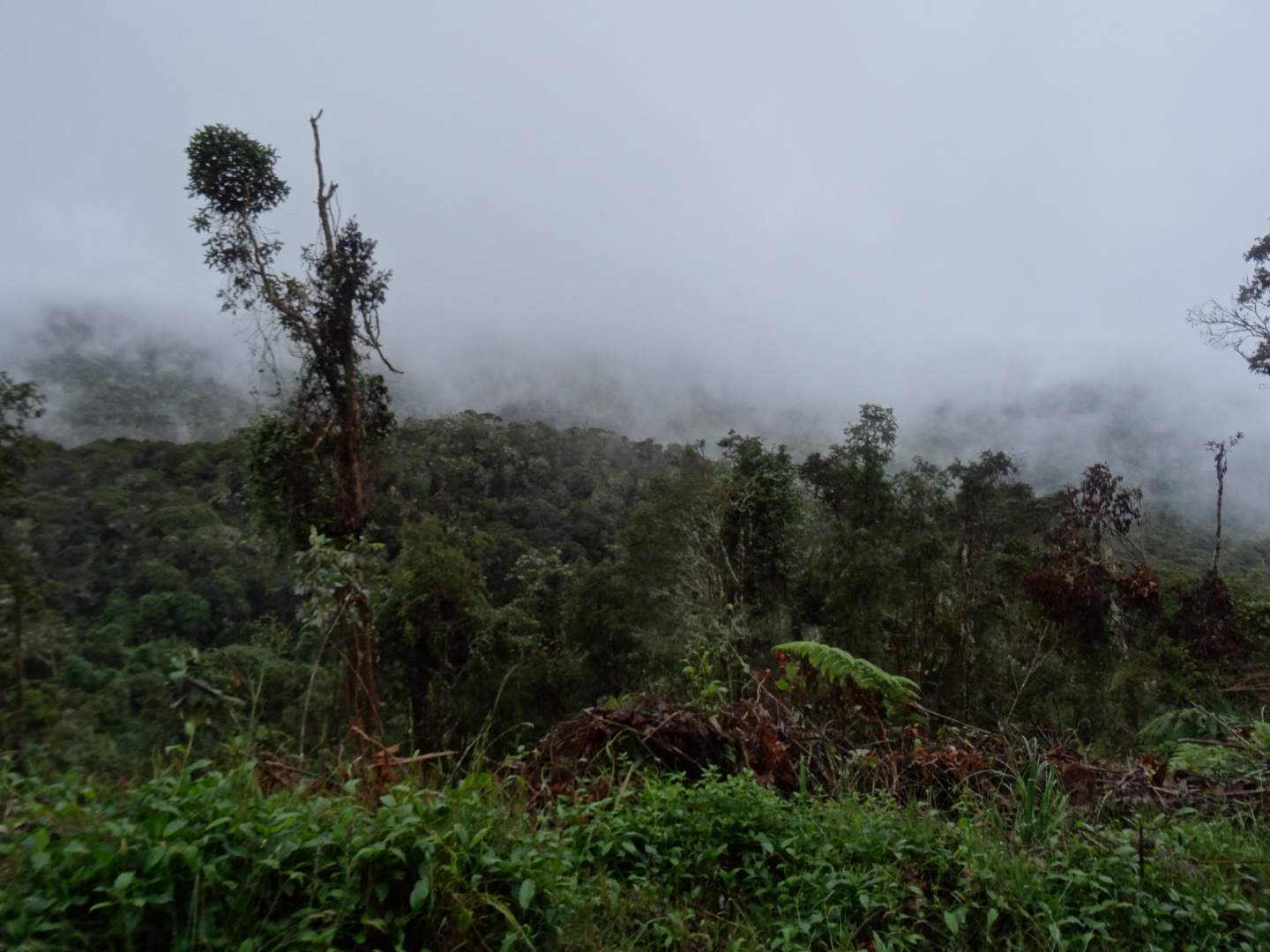
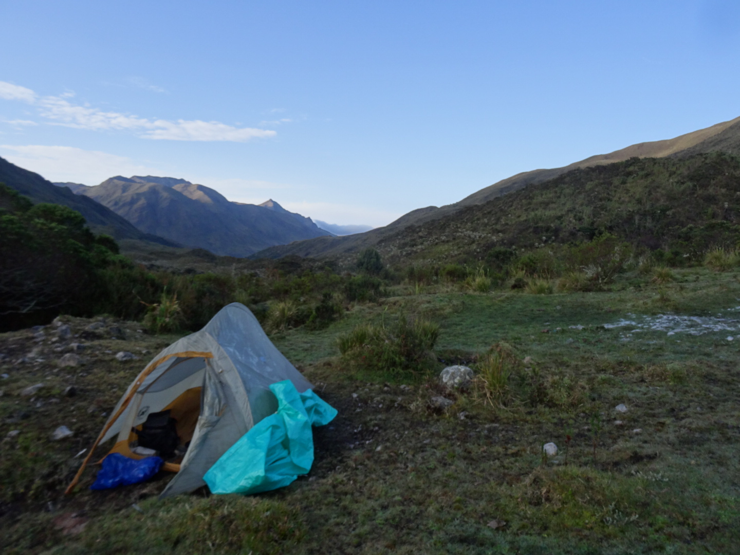
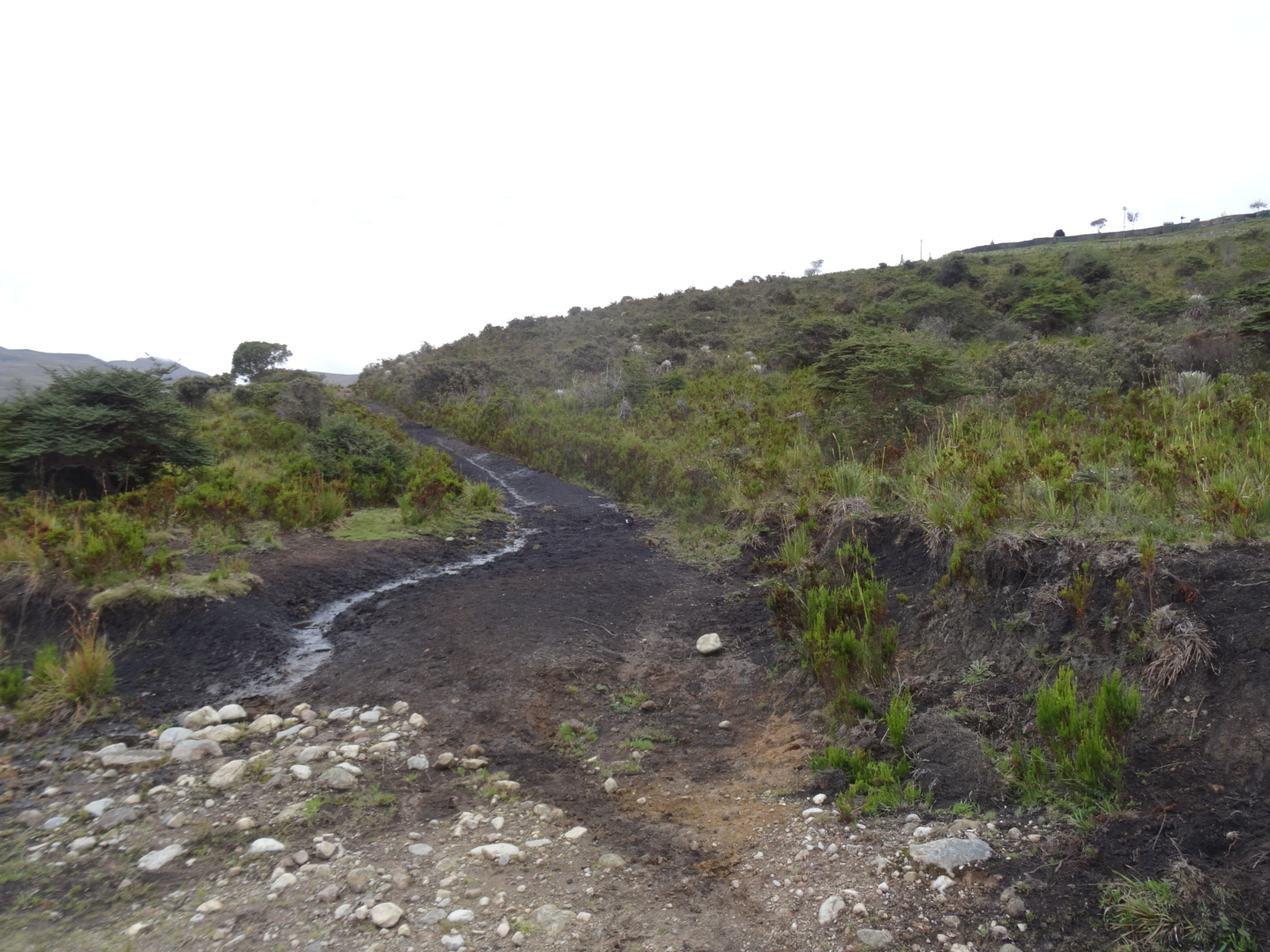
Eventually when the road kind of ends and i set up camp for a quiet misty night. At night a moto comes rocking down the road and I am 99% sure that he cannot climb that same road.

lots of work!
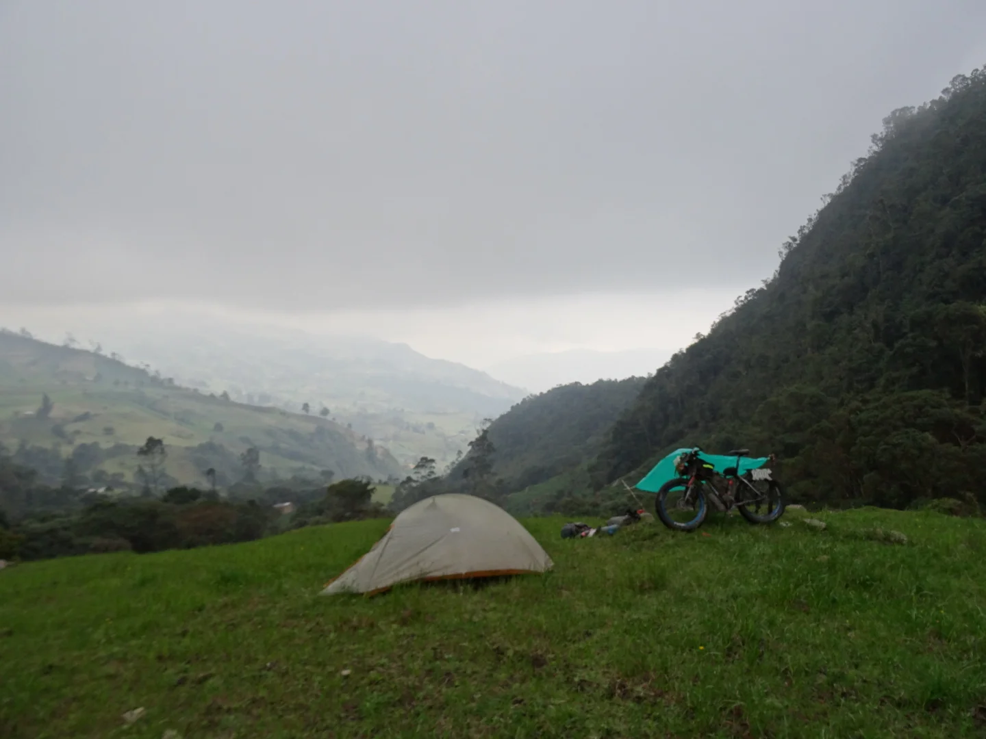
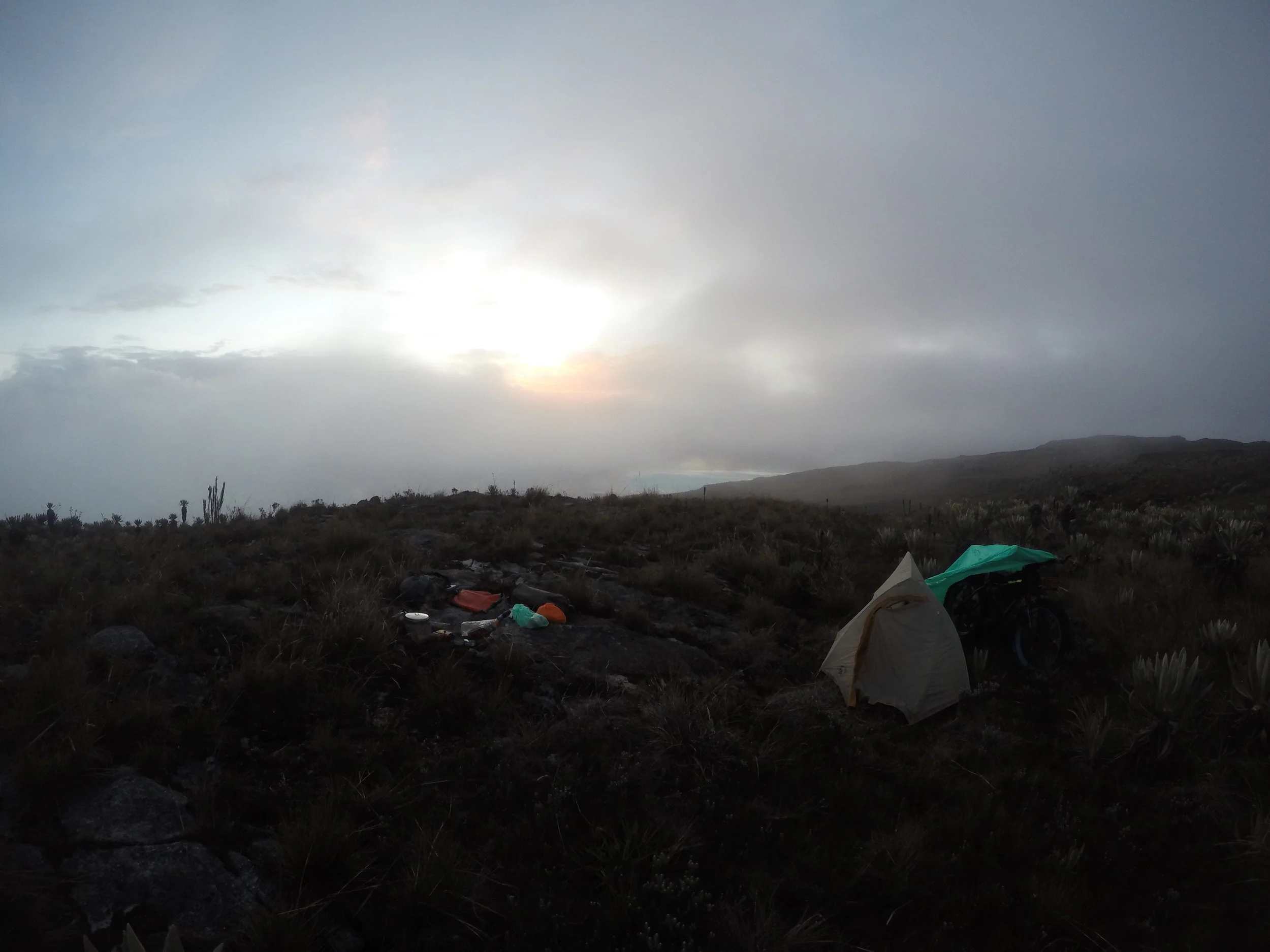
the camp, very happy to have the tarp for the rain
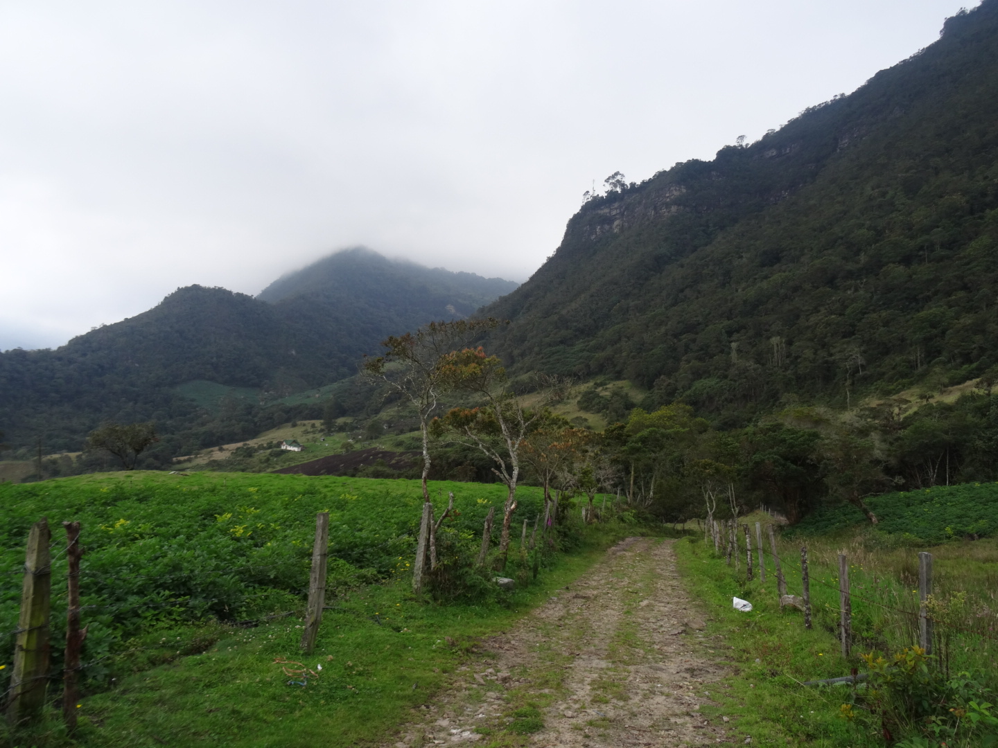
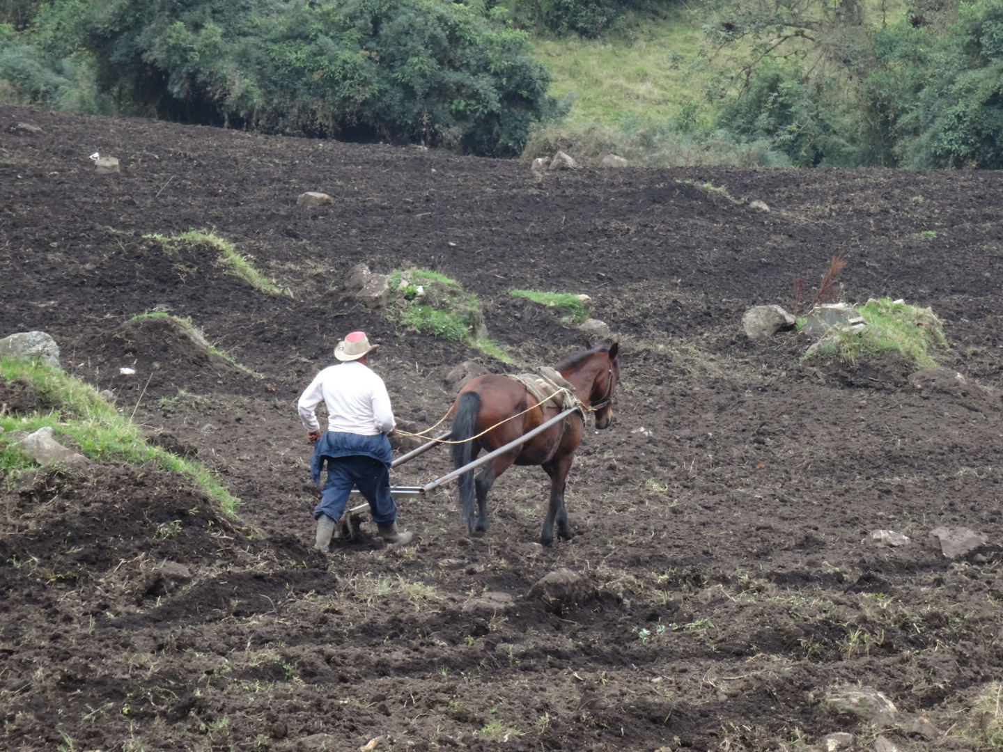
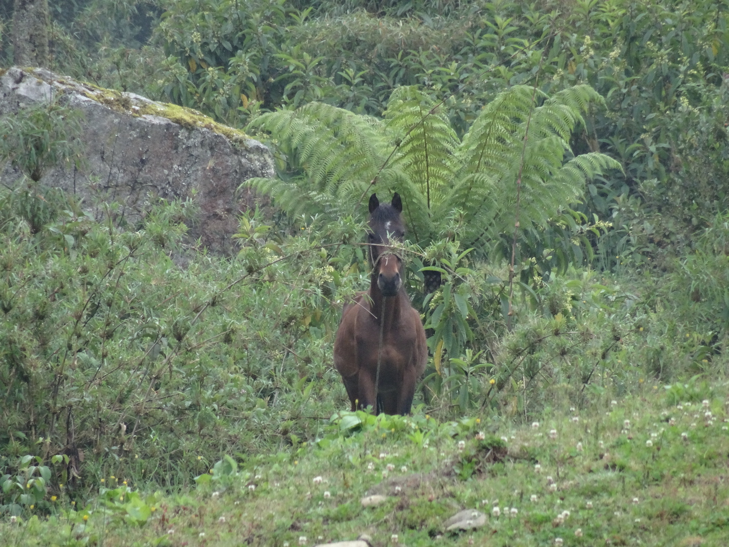
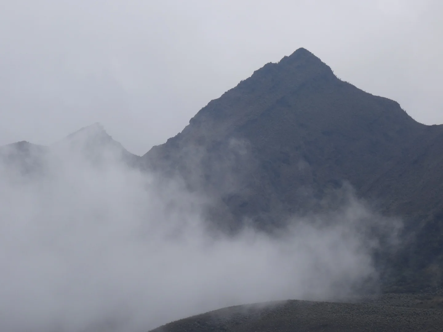
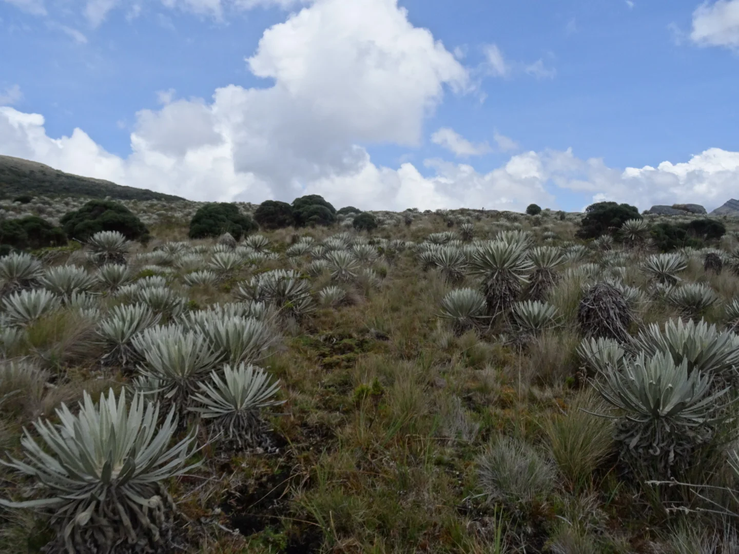
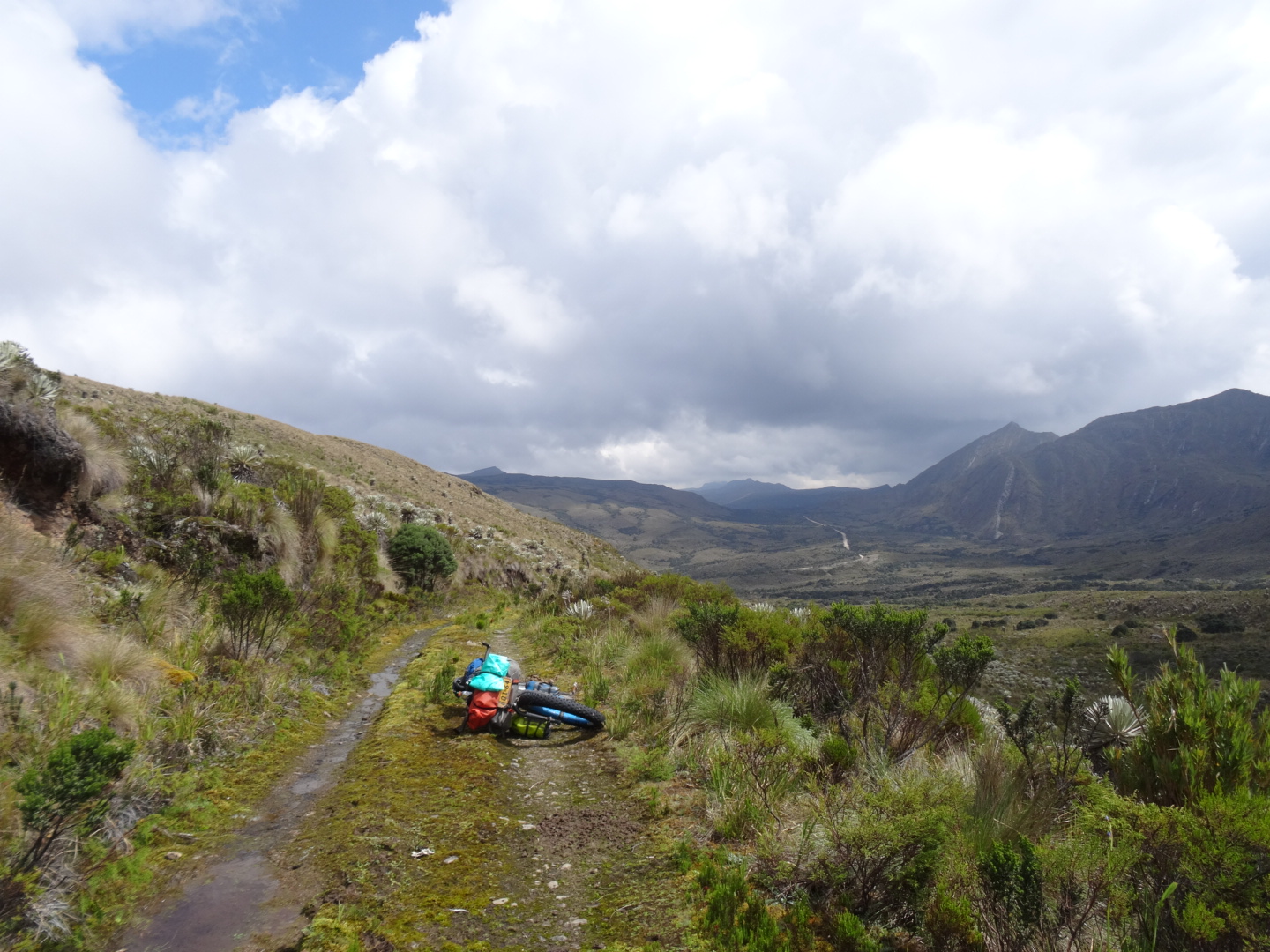
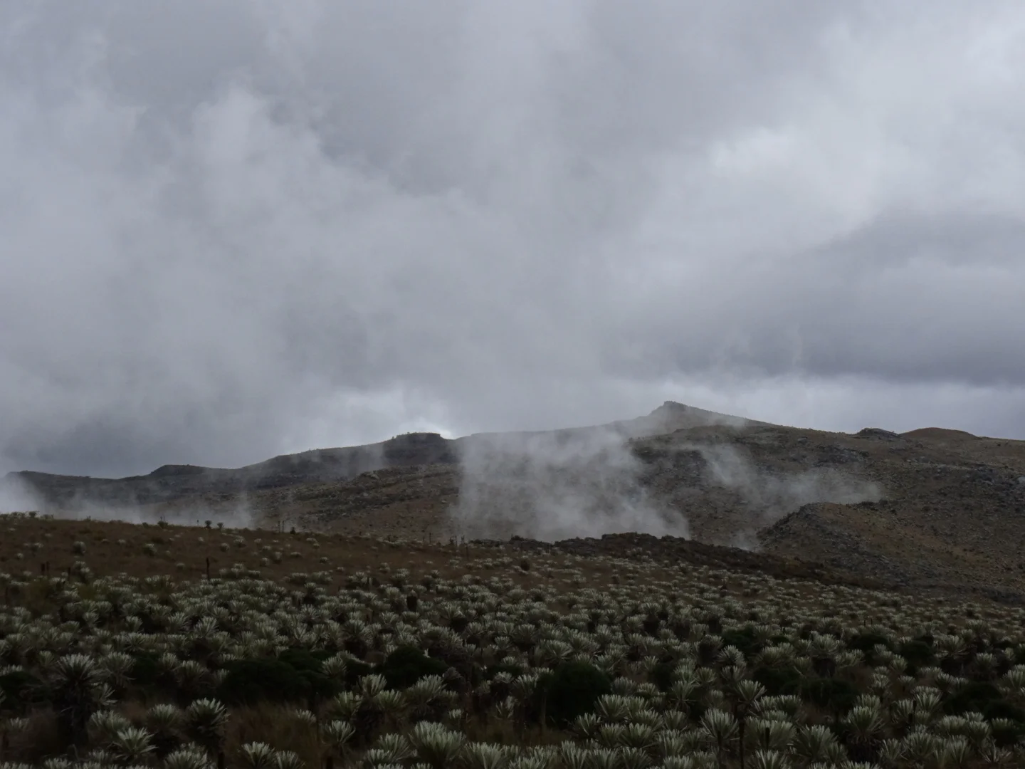
After the horse, ducks and the potato fields I get to the Paramo


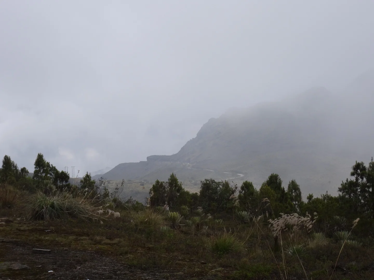
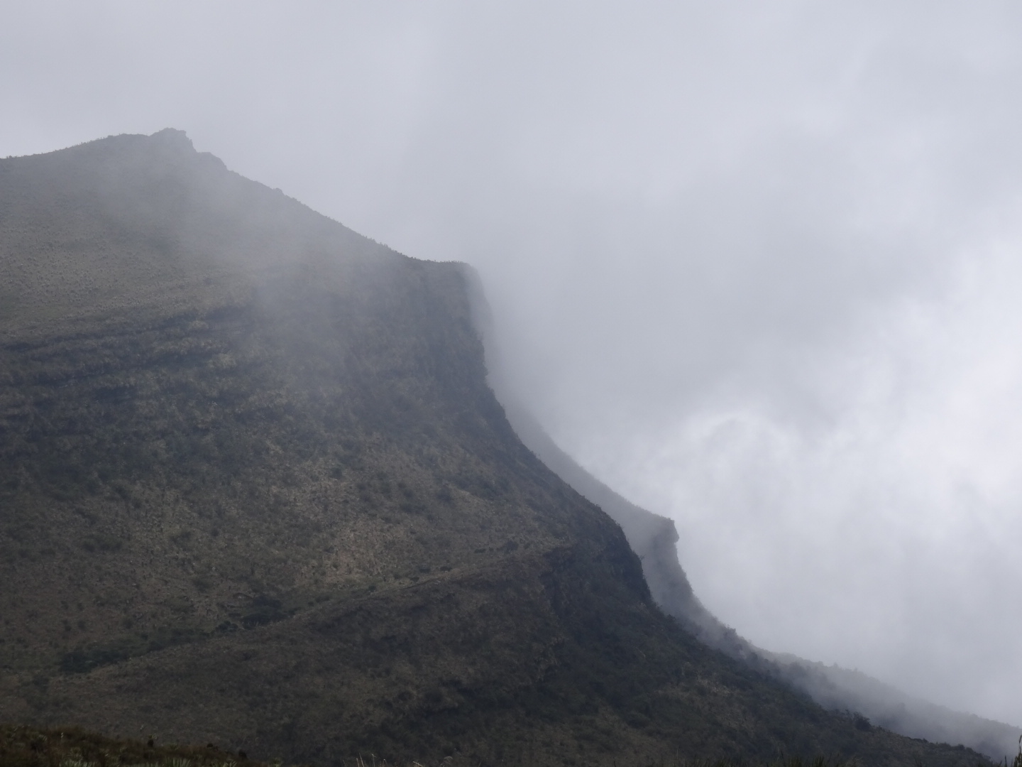
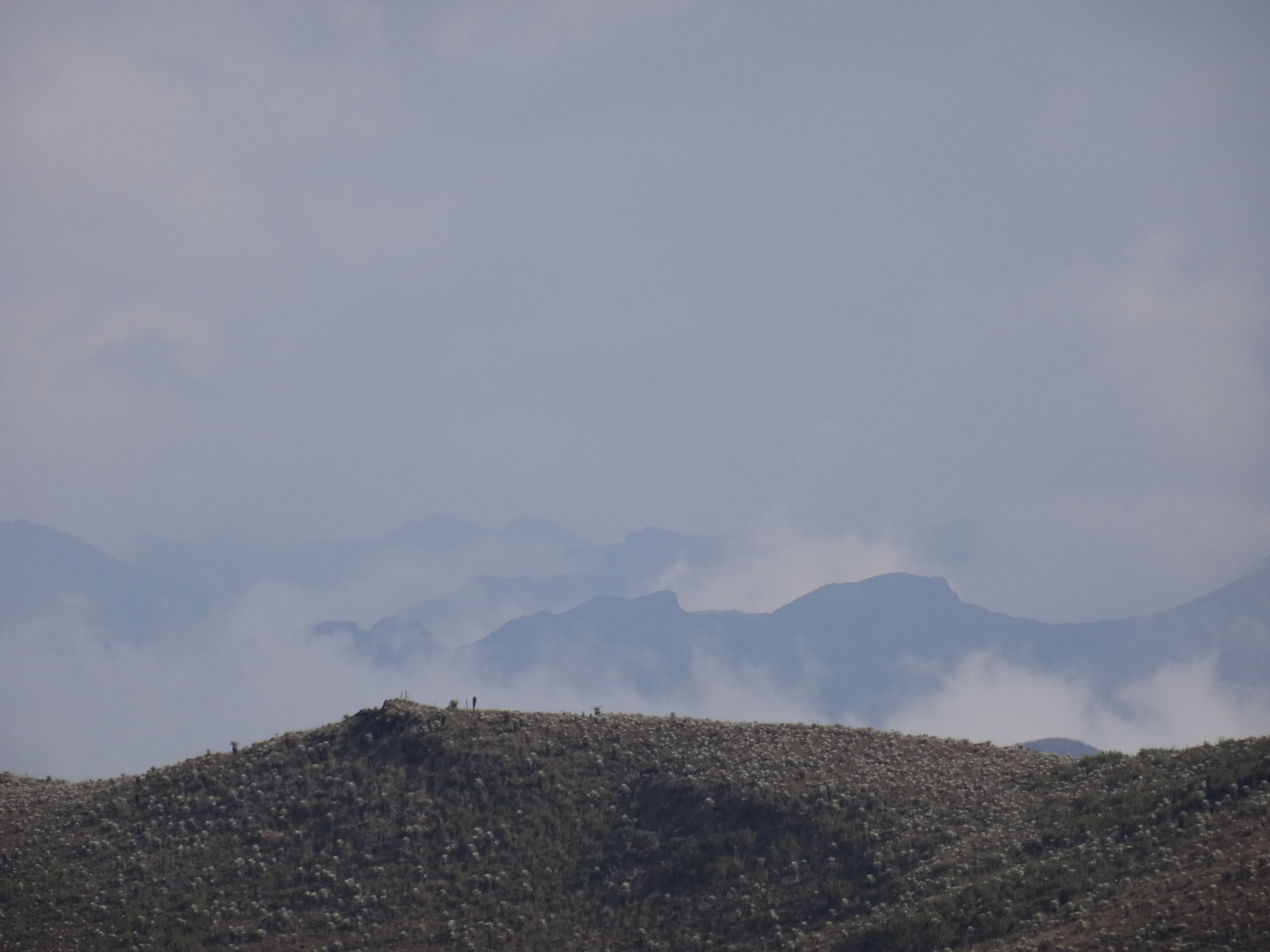
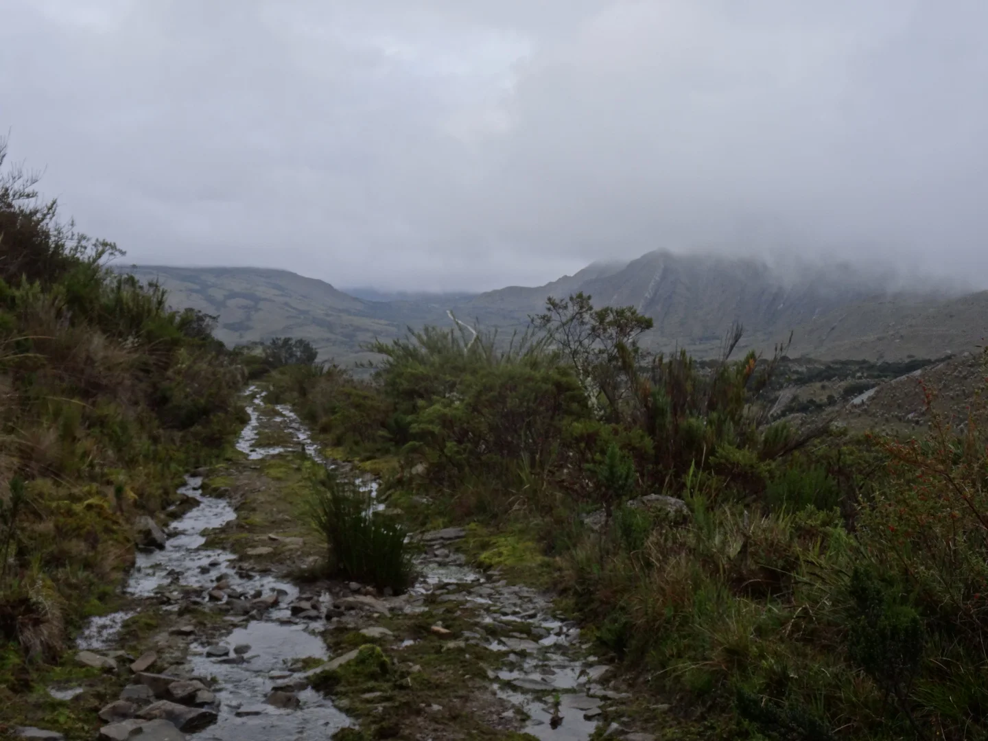
While a sunny day would be nice, all the clouds add so much more to the landscape. I follow few short trails and head down, nobody at all on this road.
not sure how many i have had to drink... but i am seeing double


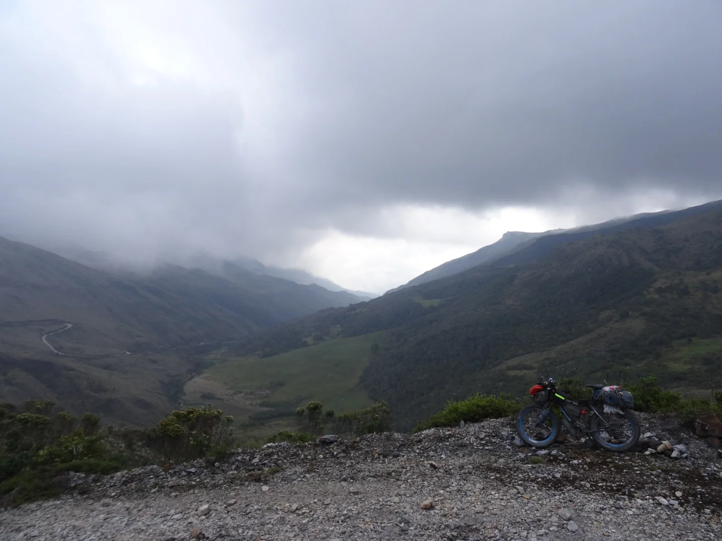
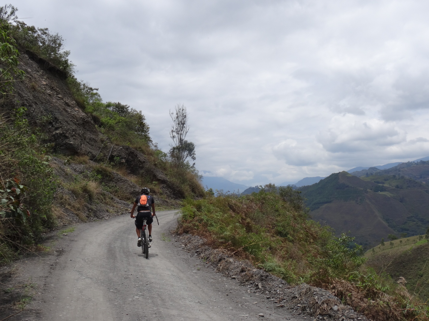
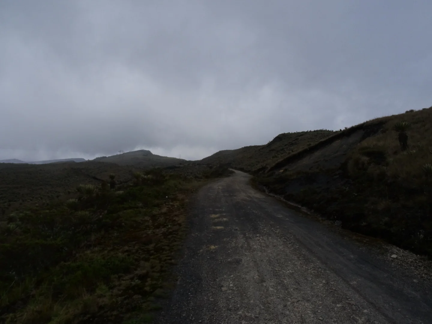
I ride down the old road and up on an almost pavement hardpack. A man walks uphill with me for a bit and I find a decent spot at a pasture.
Cold and clear morning, I eat away lots memory space on the sd card and then some food too under strict supervision.


Its a saturday or a sunday, several groups drive by, big gravel trucks zoom down the hill. Some road went up to the right so I went for a break.

I humm a song from the film, The Road From Karakol, where Kyle says, "when the road comes to an end, will you keep going?".

Well why not? everything is possible!
The cows had gone far and wide into the paramo, leaving nice and not so nice trails.
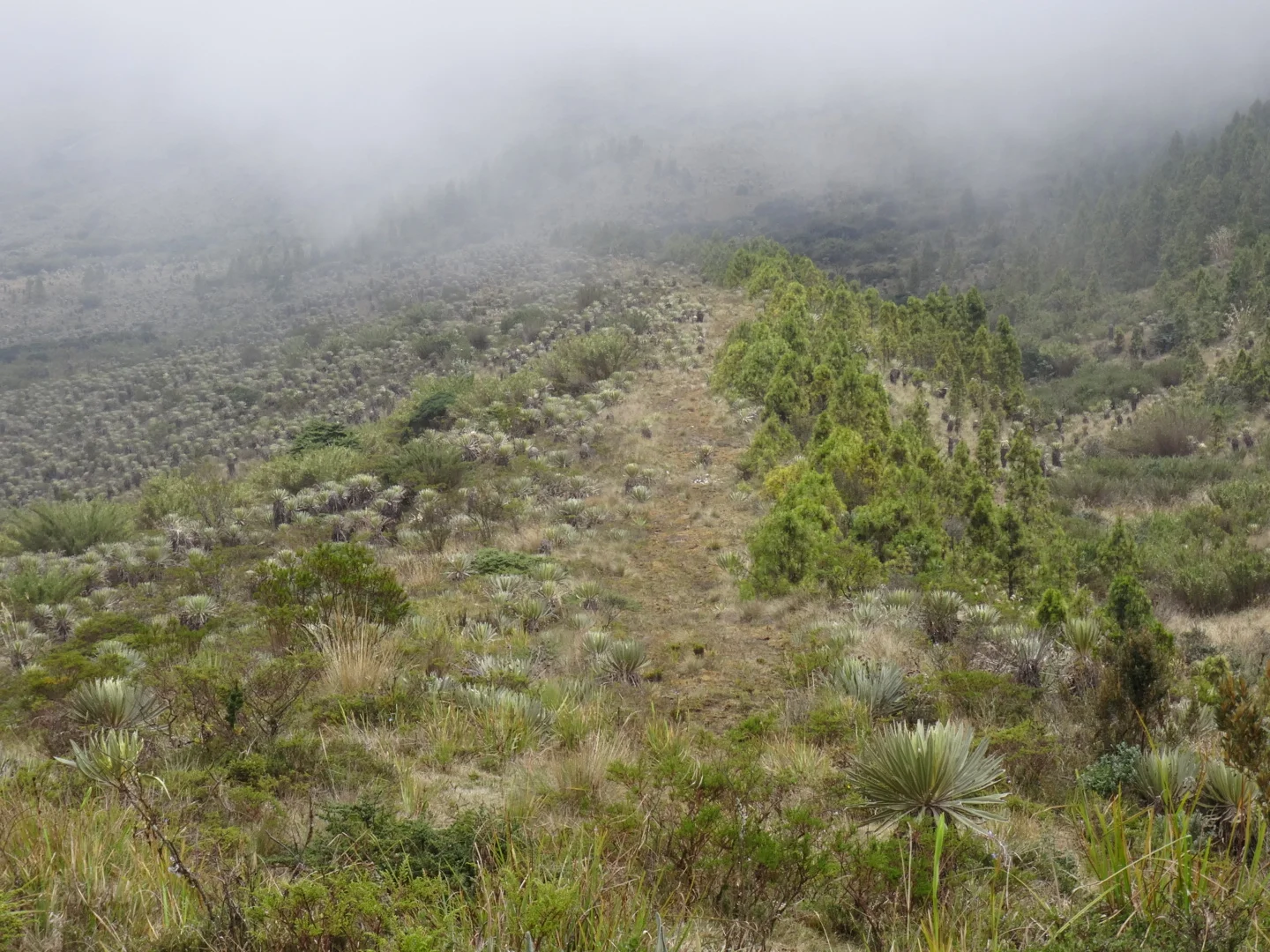
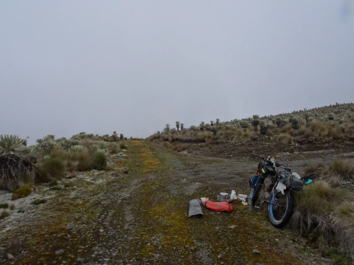
Then I found a solid trail which led to tractor tracks heading off on some ridge.

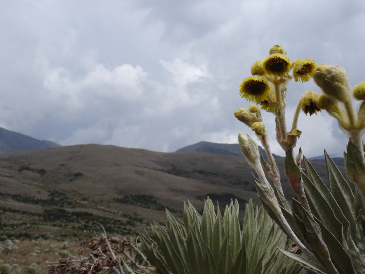
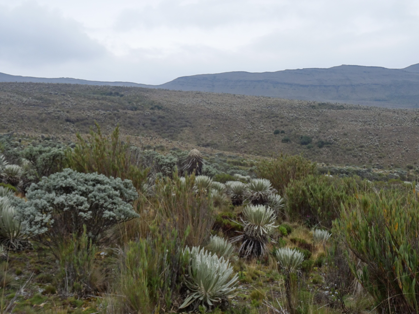
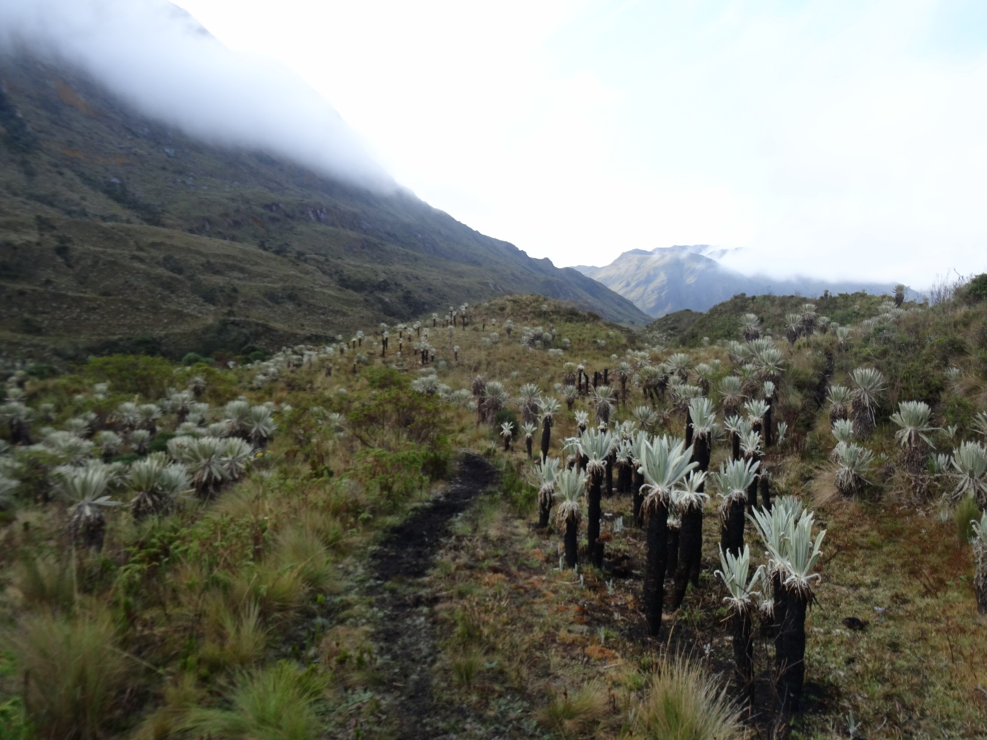
the frailejon plant grows only 1 inch per year
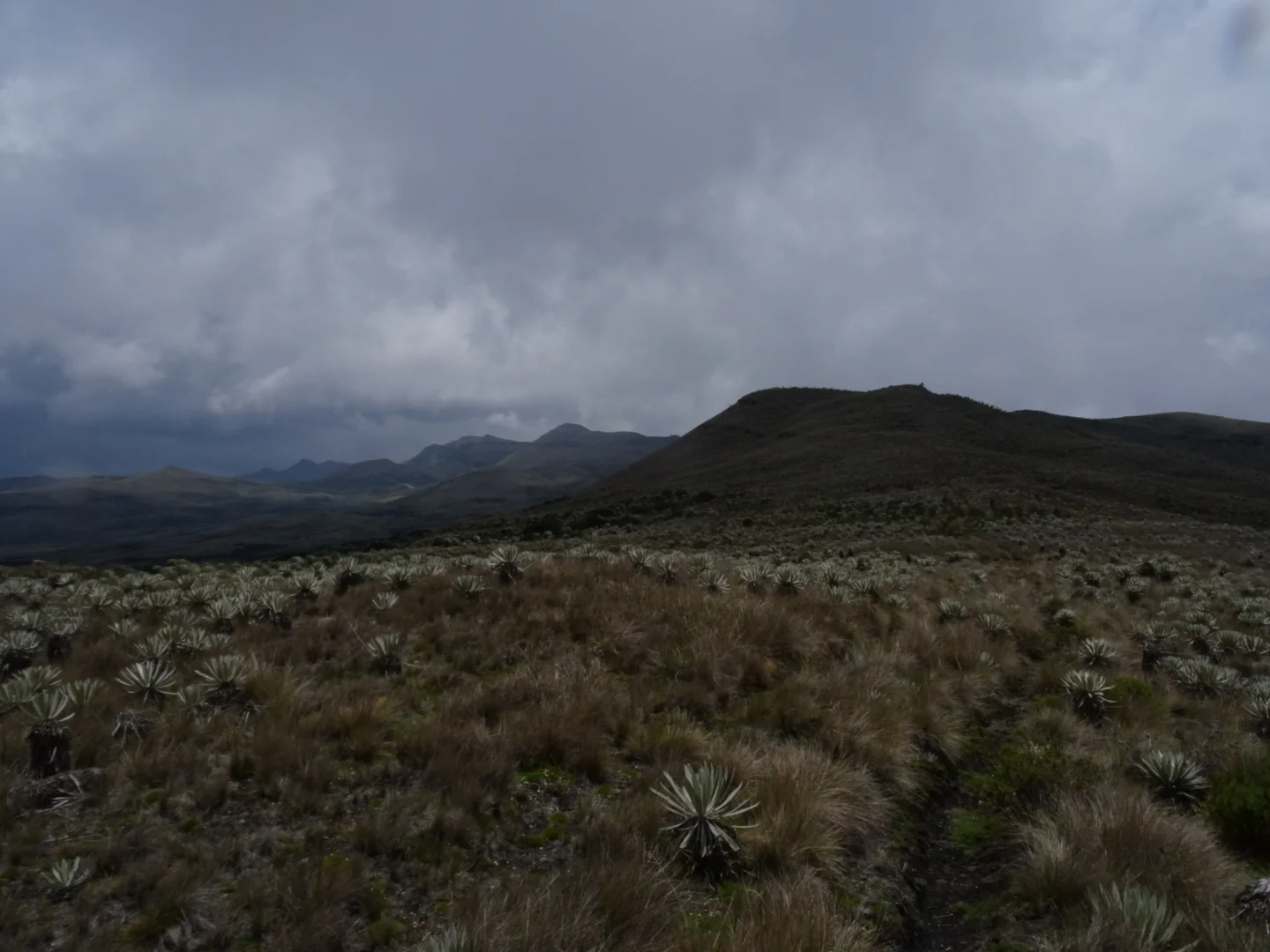
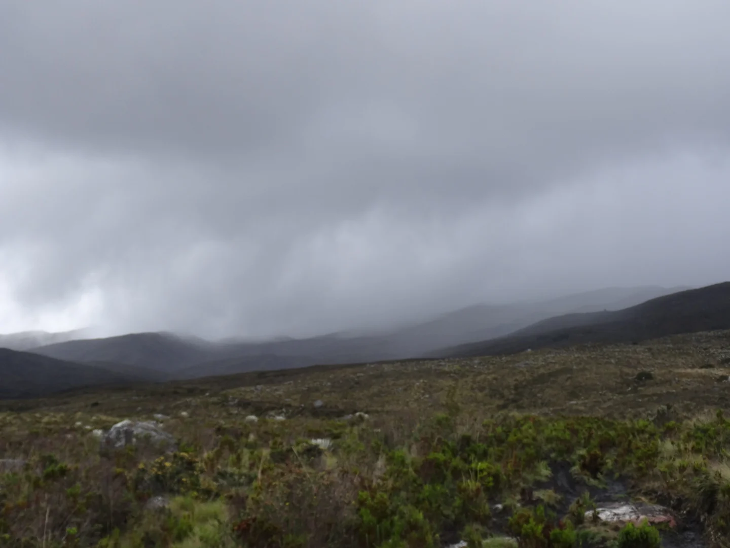
I found the road but for tomorrow. I set up on a peak for a chilly night. Clouds and rain rolled in and out and I moved camp since the thunder and lightning were kind of close. At night the lights of Bogota make for an interesting show.

one of these days i need to replace the zippers, rain drips on my head if it rains and bugs constantly get in the tent :(
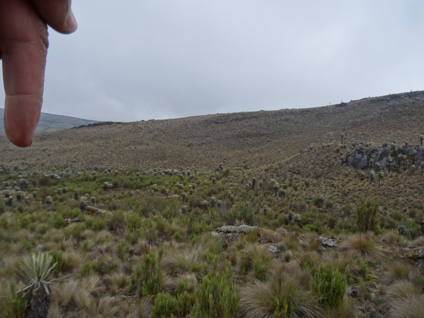
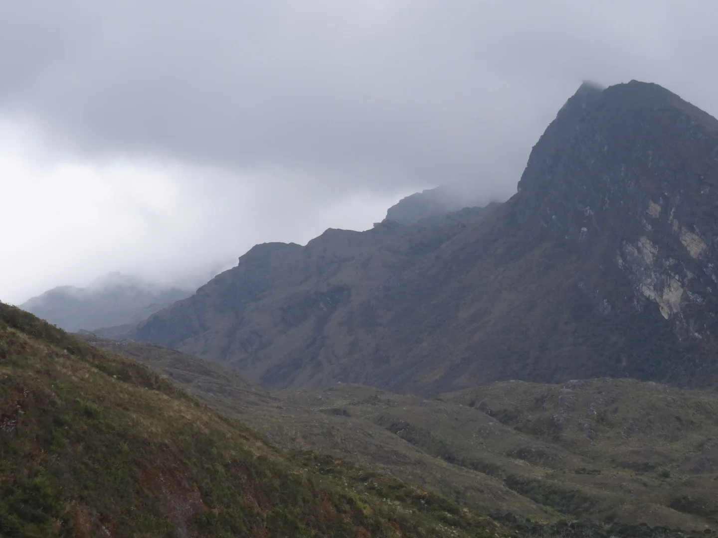
mountains, mountains and more mountains

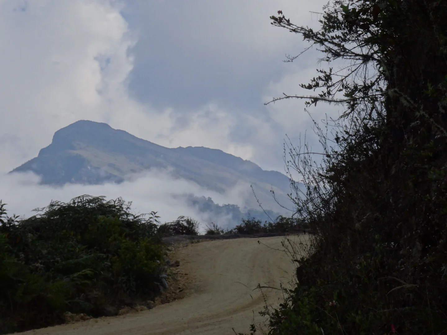
It was a short but nice ride back to the road. Which had surprisingly good surface. Not far and I was over the ridge but a road went up to the side.


Since the sun was shining, why not go?
At the top I waited for the clouds to clear and made a big potfull of instant cappuchino.
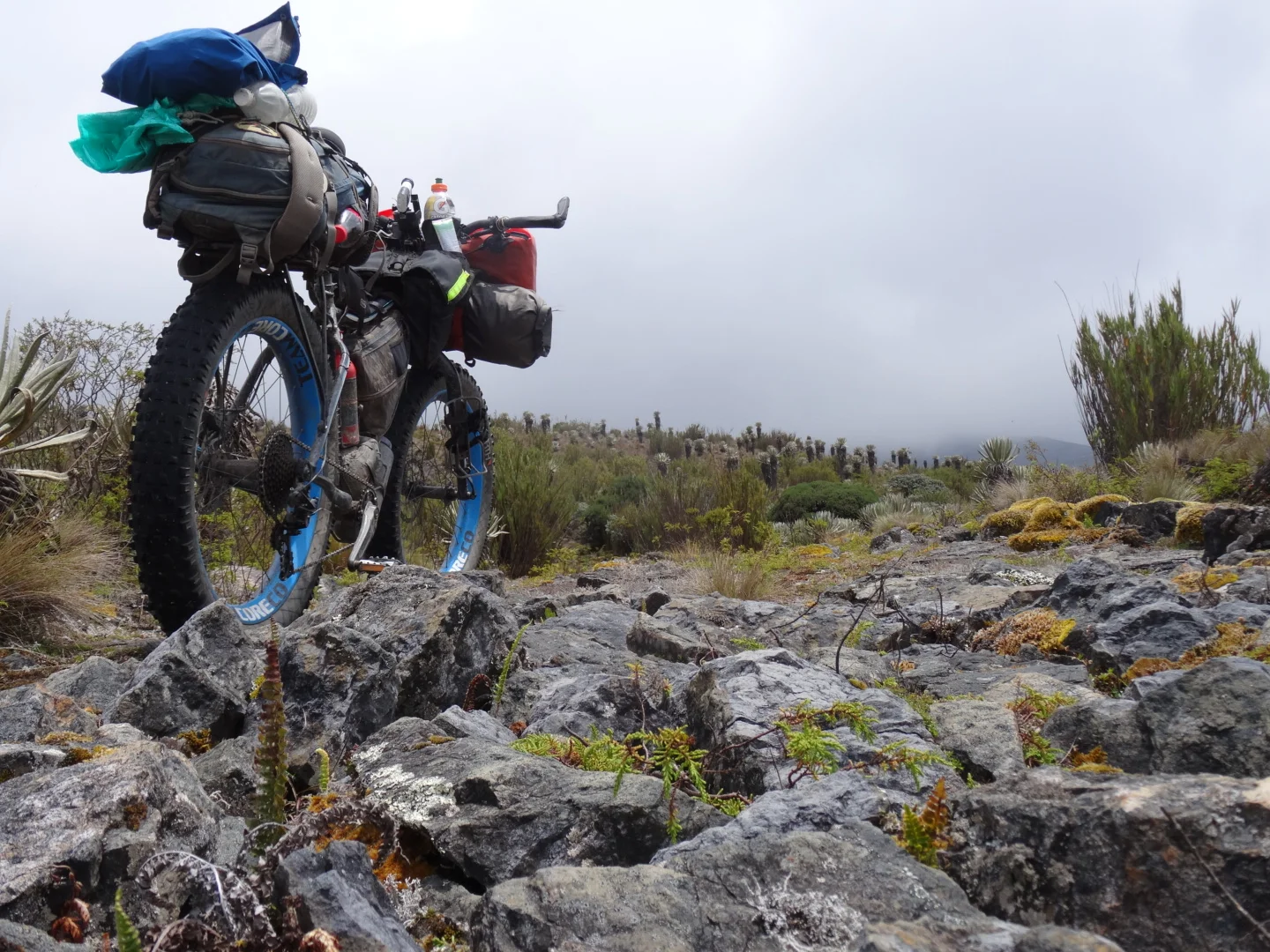
Then the road ended but a trail started.

Over a ridge some sections were just silly so I left the bike and went on foot. Open Street Maps showed a finca and a shelter further on and a red dotted line leading to them.
wait, where is the trail?

found it
this is how I cue myself to know where to find my bike...
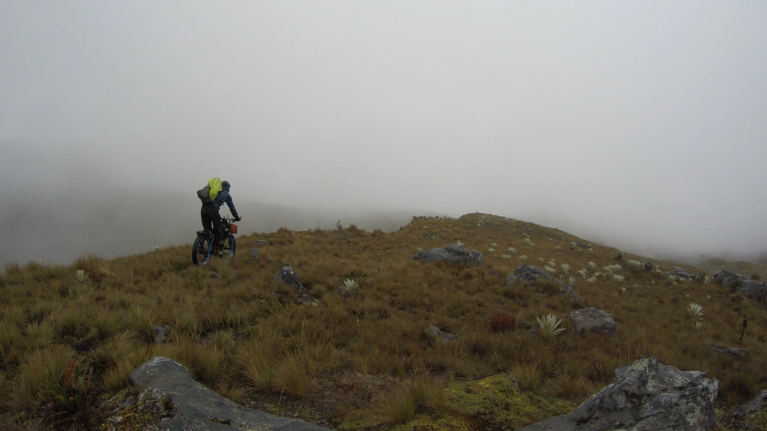
I lost the trail few times ending in some fairly difficult paramo bushwacking. The topo map, which I did not have in full detail was completely off.
i pretty much had to cross all these nasty valleys to find a trail

Maybe it was all the coffee but I just kept going. In the dark and cold and wet, trying to follow a trail, crossing rivers and hopping stones. By the end, solely looking at that red line on the gps on my tablet and wondering where the trail is. I reached an empty shack and made dinner there which I could barely eat out of exhaustion.


But the best part was waking up somewhere new.

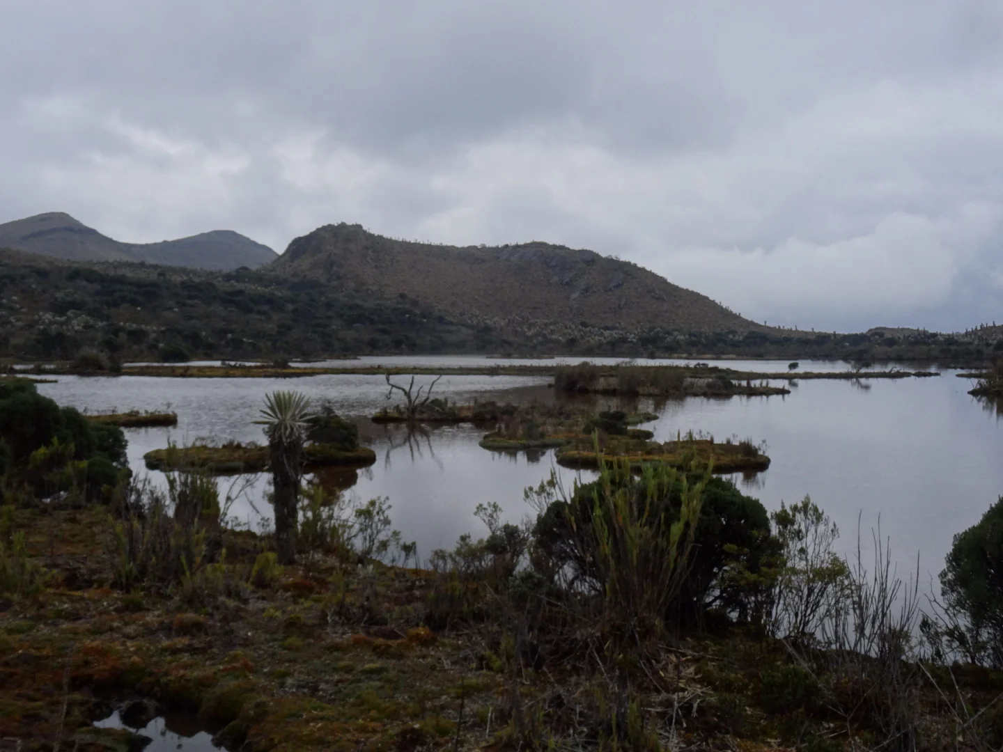
There was a trail leading to Nevado de Sumapaz - i think the name of this paramo and around the bent I spotted a cabin and a lake.

This is where the trail ended, must have been all the mules hauling supplies for the cabin. I wasnt too big on climbing more, considering getting back would be very difficult without my navigation (I had 8% left which meant if lucky I can get my location 2-3 times when I lose the trail).
While the cabin was not super well equipped it had a fold up bed and an inflatable boat. With no pump, going in the lake would require a solid hour of blowing up the giant boat.

Left in the morning and with the light the trail was much easier to follow.

it was a tuna-in-a-can feast when I reached the bike and when I got on it felt like walking on sunshine.

At the same spot, I waited for the sun and sadly it didnt come out.
Back on the main road and over a hill to San Juan, I realized it was getting dark, there was an open cabin by the road.


Instead of the lively metropolis the signs may lead you to believe, San Juan has a restaurant, a store and a school. I got some food and spent a good 30 minutes online looking at sleeping bags.
Since the store did not have potatoes, I got some from the farms and took off on the long way around the valley.


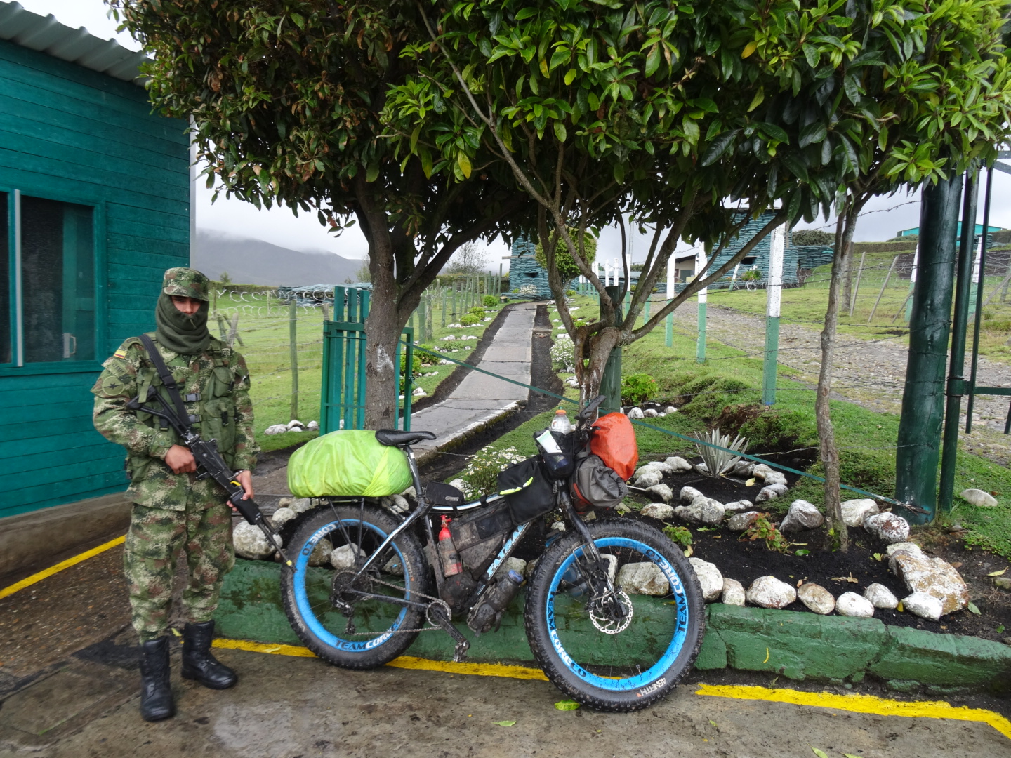
At the end of the valley was the High Mountain Batallion, they were surprised to see me, more surprised that my bike had no motor and even more that I wanted to take the bike with no motor over the mountains. They had no maps here but a local going by the nickname of Rosa told me that a woman from a ranch runs mules to where I wanted to go. And I got my directions:
"Before the yellow bridge, turn right."
Thats all. 25km in a straight line through the Paramo.

very promising
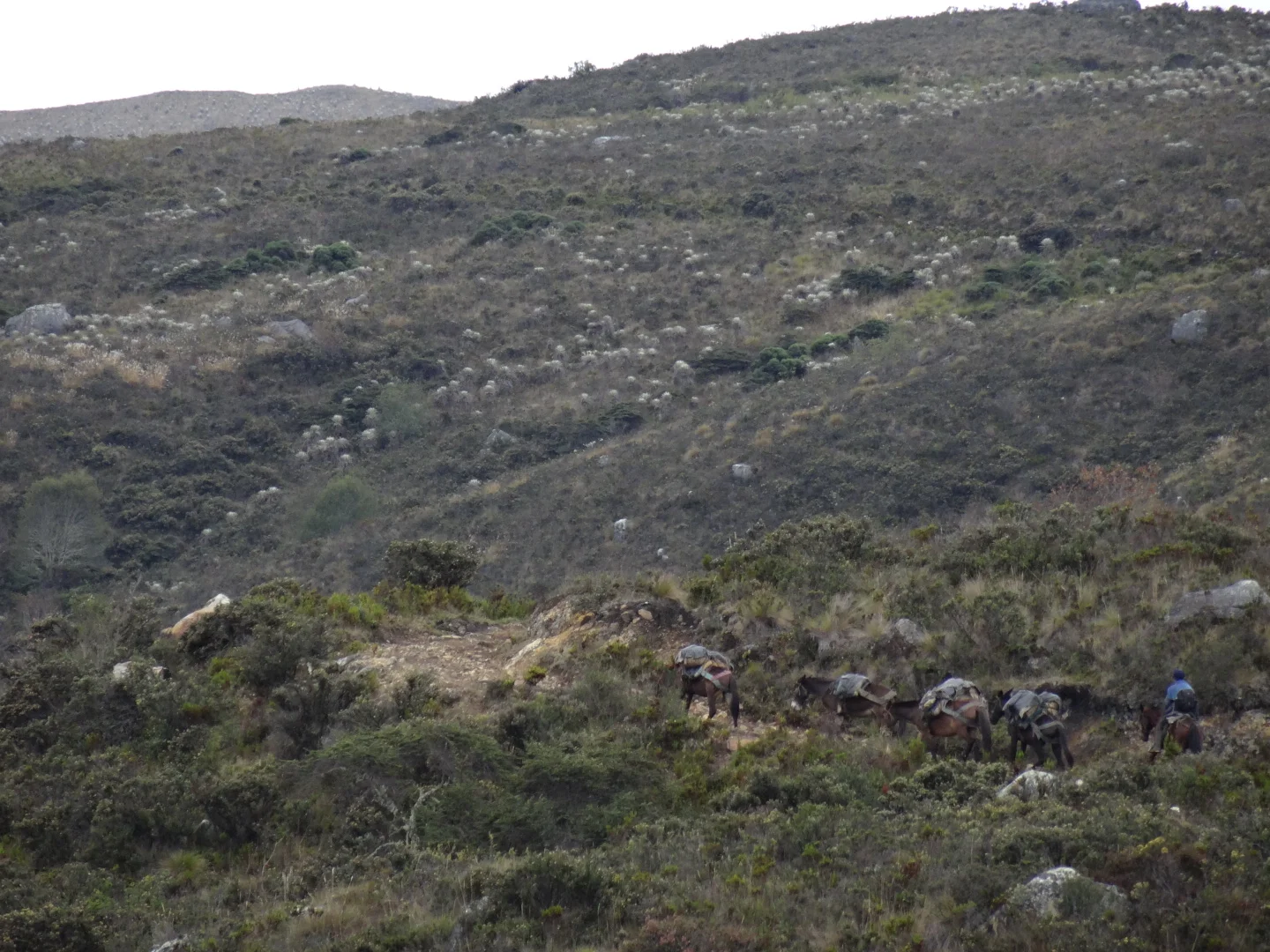
Up the old road Enrique ran into me with his mule train, going for two days with beans to Meta. He seemed pretty worried that I will get lost in the paramo but I dont think you can get lost if you dont know where you are going in the first place. With over 100 kilos load each, the mules made me look like a turtle.

just nasty!
At the yellow bridge there was a cabin and I left my gear there but went up with the bike.
Much easier, I did half the way up not on trail and left the bike and extra food up on the ridge, tonight a warm night and tomorrow an easy hike to the top.

My arch-enemy, the Paramo cow was always watching, overgrazing riversides and making fake trails in all directions.

Top was pretty chilly and eventually the trail split up.

Few of the little ones withered off, resulting in some quite difficult paramo pushing over all sorts of vegetation.

By 2pm, Ive had it and went on straight down to where I think the way is.

At 4, I realized that not all colombian hills are cleared bare land for pasures but thick forest. But I found the trail or a trail. No sin of use and really rough, steep and rocky. I reckon I could somehow make it down but going back, if necessary would be very, very tough.

I went up a bit and set up camp.
In the morning I could see ranches and houses on the distant hillsides, even the Cordillera Central over the big valley. Maybe the trail would work but I wasnt ready to leave the paramo, just one more day, one more cloud, but really it would be a shame to lose all that hard earned elevation carrying and dragging my bike through the forest.

Bushwacking the 500m of elevation over few kilometers, I could not figure out if it was my hands or legs that were more tired. Few rays of sunshine and few drops of rain later I was at the top. I hide behind a rock and write up the blog, hoping for clouds to clear so I can see if the ridge nearby would be rideable.

Whoever said "good things come to those who wait," was lying. It started raining, proper rain and not those drizzles I've been smiling through. I may need to get proper rain gear. Way down was absolutely amazing save for few near-falls mostly due to the horse trail getting too deep and hooking a pedal on the sides.
By the time I reached the yellow bridge it was obvious that I am staying here. Hot soup and the bike has never looked that clean since I built it up. It rained for a solid 4 hours and I cant tell you how lucky I am to have this cabin and to listen to the rain beat on the metal roof along with the sound of my stove boiling up water. At night the fireflies come out and it is amazing. Whatever this place is, this giant yellow bridge... doesnt that trail go to Meta?

I loaded up and proceded for some miserable pushing in the muck of a road leading to the army base.

nothing like some cold rain chasing you!
The problem was that I was out of chain oil and unless I can find some at the batalion, I would rather not wear in the chain.
"How many of you are here?"
"Six hundred."
I looked around at the tiny base, maybe he thought I was spying for Canada and gave me a wrong number.
After the road was well built but unused. It poured for few hours and I called upon my superpowers to become the plastic bag man.

Soon after I was descending 2000m down a steep and rough jungle road. Down to where its warmer and the coca cola river flows. Parramo is over for now and with only 20 days left on my visa time I should head over