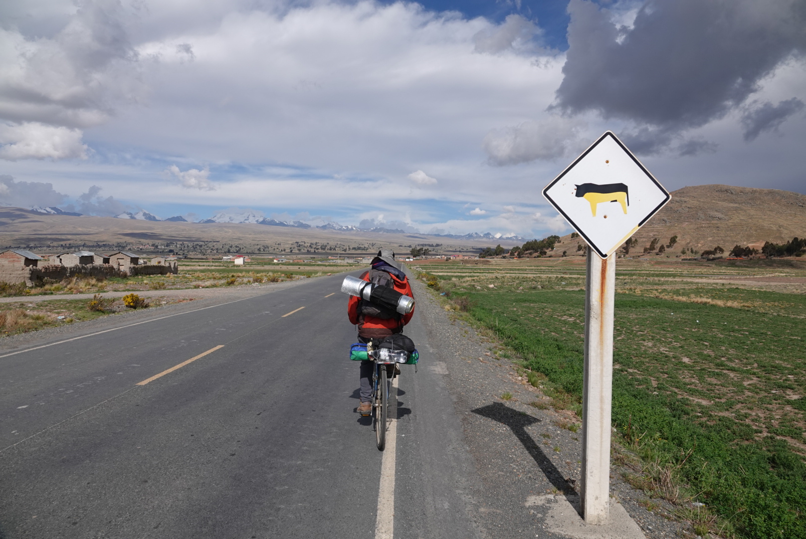
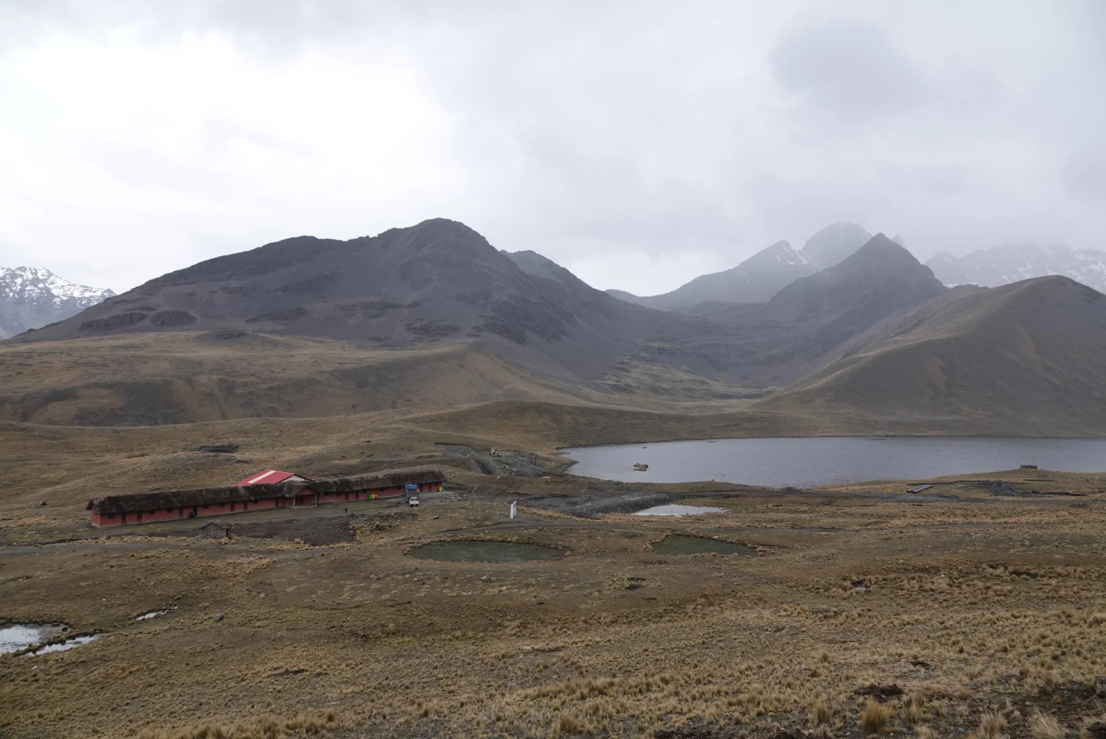
after a nice food break in La Paz and a rather crappy $40 bottom bracket job from Gravity Bolivia (but more on that in the next few posts) I was back in Achacachi. I put the bike together and Milton who has the pool/hostel/casa de ciclistas wanted to join me up to the pass. I told him that I’d really like to leave today so we agreed on camping somewhere on the way up.
Milton had quite the machine and by any means he was way lighter than me. I had about 10-12 days worth of food on me
we barely squeezed between that giant storm and the sunshine but remained unwet for the remainder of the day.
amidst concerns and possible “tolls” I am entering the Cordillera Real traverse from here, doing only a little part of the more popular Illampu circuit. A group I spoke to via instagram had been attacked with llama whips when refusing to pay a fee to somebody on the trail.
the sun down the altiplano was amazing but there wont be too many sunsets in the rainy season further into the mountains
when we started setting up, a guy on a moto coming down pulled over and chatted to us. He didn’t seem that interested but he hung around, watching me and Milton set up the tents. A god 30-40minutes and then left, Milton told him he paid him $3 for both of us because apparently we were on his land.
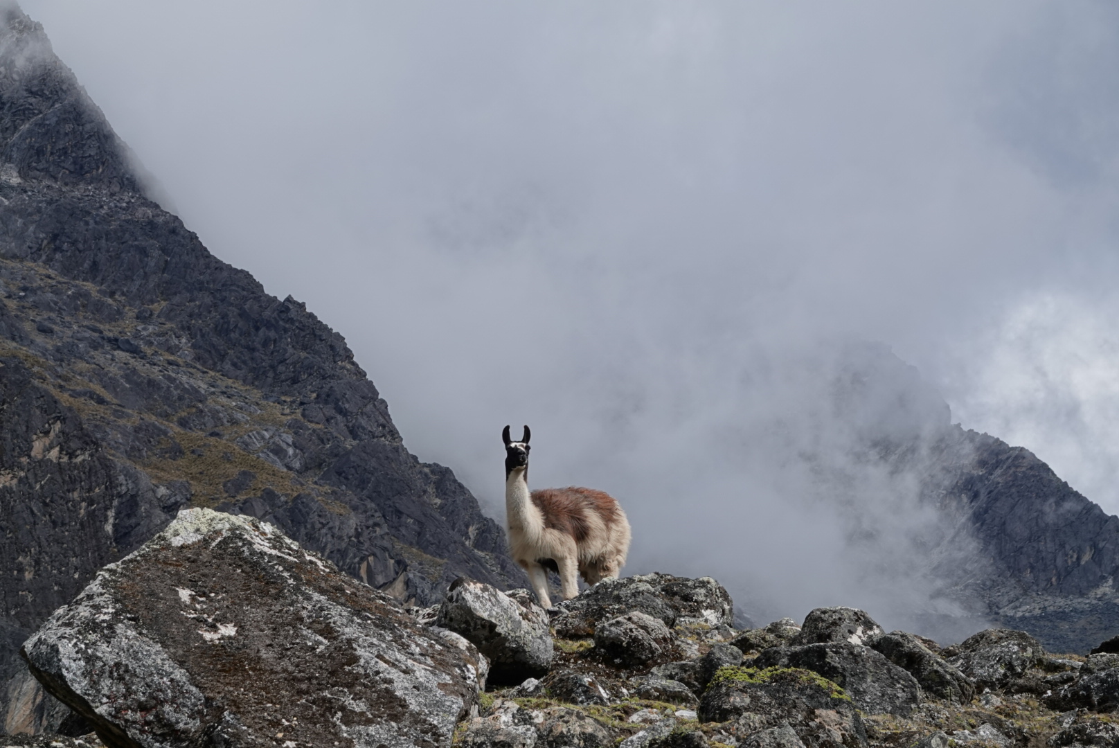
we spotted this magnificent creature in the morning
and milton was all ready for more climbing
after lunch he headed back to one of the few real hot showers in the altiplano and I headed up toward the pass and to more showers but likely cold… although today was surprisingly good weather
I kept looking to the right and back. it did not seem like a trail at all. I will somehow have to go up that, according to a dotted red line on open street maps. Eventually a bridge took me across the now bigger stream. Few kids ran from one of the houses and hid behind a rock, watching me push my bike up. Ha, what were they thinking? who is that crazy gringo with a motorcycle pushing it up the hill???
the other inhabitants of this valley were equally curious to see me.
a man walking down from the pastures did a big half circle around me to avoid me, odd but probably better. It’s a little sad that people here are not as friendly - compare that to any Colombian trail where you are waved over and not asked but given a plate of food and sometimes asked to stay the night. The trail was there and well defined but not of the bring your bike kind of trail. I almost set up camp few times but decided to push as far as I can in order to have less of this for tomorrow.
eventually setting up behind a big rock, a shelter of some sorts, tired and wondering if I can even making across that pass?
little did i know of the beasts lurking the high mountains at night, these two were maybe upset that i took their spot and tried biting my tent and bike
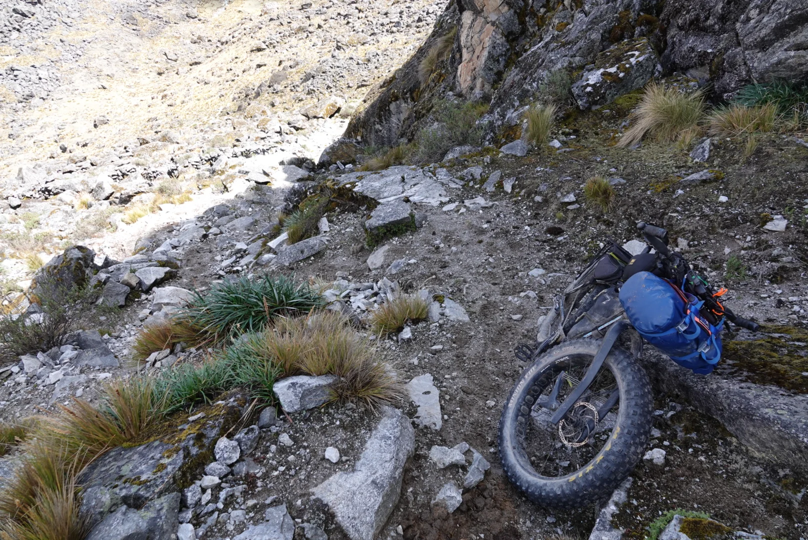
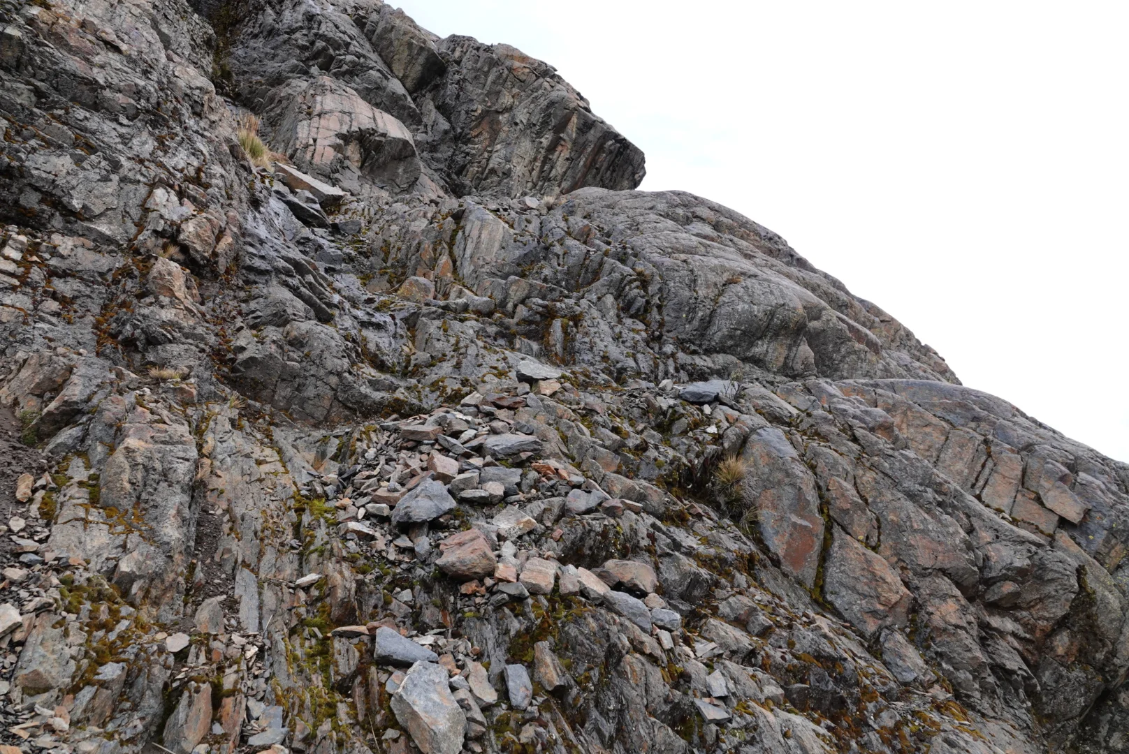
the trail got steeper, rockier and narrower but oddly passable and there was an interesting calm to moving this slow, taking breaks every few steps and holding the brakes so the bike does not slide back down
you could notice the little things going slowly like this, like the plants and rocks and the small splinters on your fiberglass planks on your suspension
and of course, the not so little things too…
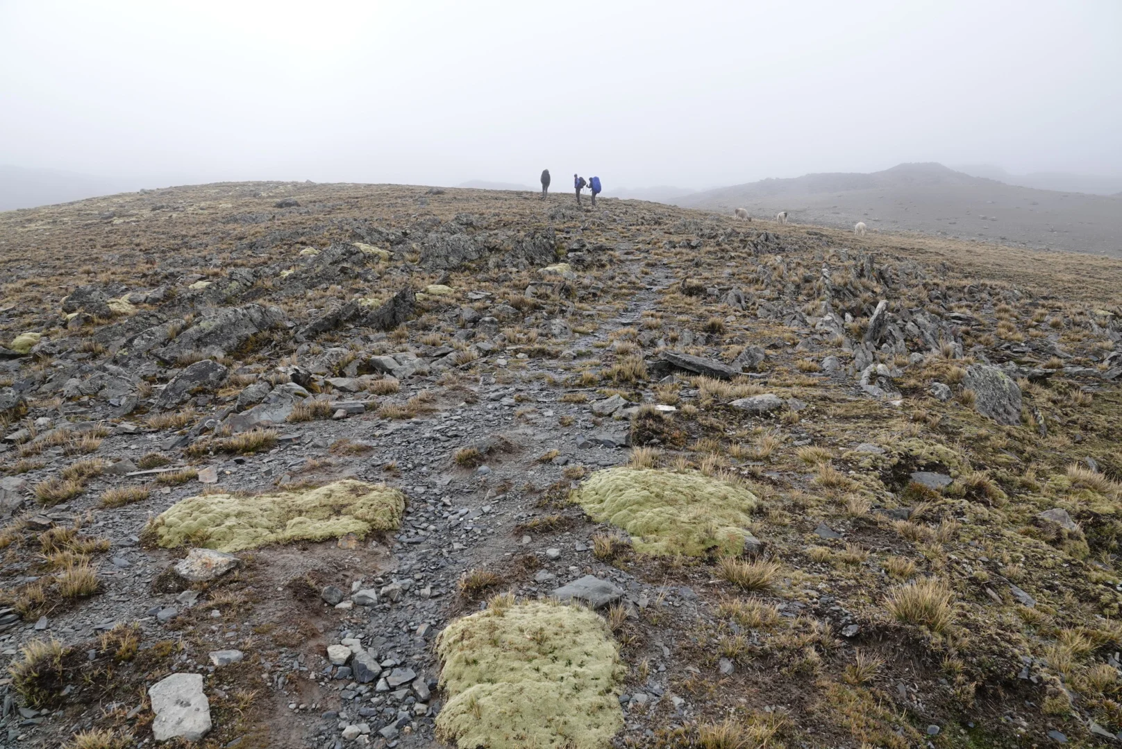
trail got much better, it was still walking but just not lifting your bike over rocks every step of the way. The distant pass marker grew closer and it seemed that I can actually make it over.
across the pass, it seemed that the llamas were expecting me and they all gathered as if they wanted something, was i supposed to guide them to a better valley?
i finally lost these furry buggers and continues down, surprisingly riding good chunks of the trail
i connected to a picturesque valley with a big mountain in the back, sadly the topo map and camera-zoom scouting did not show any trails leading out of it but the way down. I decided to set up here in case i can see whats behind the clouds
in the morning sun it was obvious that the good camping spots further down the valley were already taken!
the track was great sometimes and there were bridges, what more could you ask for? a friendly dog?
be friendly to human? collect reward
then the clouds rolled in ab the lowest point (3600m or so) and rained almost all the way to another 4800m pass
the rock formations were amazing and its a true miracle i did not go off the road while looking at them.
i buckled up last moment behind a rock fence, it wasnt pretty but it worked out okay.
my intended route looked quite faint and honestly a bit of a scramble, i decided to opt out for the road down and up instead, maybe catch some sunshine while at it
few hours later i was looking at the storm ahead and the sun behind, wondering why am i even going there? While its rainy up the the mountains the altiplano gets a good amount of sun. But i kind of knew that i had no choice, i cam here to ride (or walk) the cordillera and thats what i want to do
ominous stone statues covered the hills, not scarecrows but scarehumans, just to let you know somebody is always watching. The few shepherds i met all either ran away or turned their back to me when i passed, only a kid returned my “good day”
i had my eyes set on camping across one of the big peaks at just 4600m and an old refugio without a roof seemed like an option but i settled further up behind a little hill for a break from the wind
in the morning some llamas were out eating grass nearby
then it rained for few hours until i reached some dam construction site, the workers invited me for lunch and coffee and to stay. I really considered taking a half day off but with the good food it would be a waste not to push on to the next ridge.
it was surprisingly rideable until one point and then it was just surprising that i could walk my bike down such a ridiculous grade. Looking back i can conclude that this would be one-way only for bicyclists. No way you can climb that unless you have a good way to wear your bike on your back.
with another ridge to climb, i ended up setting camp for the day rather early. Probably a good idea since more rain came my way soon
solar panels make good wind breaks for cooking during the rain season
in the morning i didnt really worry about finding the trail, just picked the easiest way up the ridge.
and this llama was just smiling at me!
after a reasonably rideable downhill i aimed up at a 4900m lake in hopes of finding a way through. The uphill was pretty crazy at times but relatively safe
i set up camp at the lake at only 1pm, being rather hesitatnt of attempting a 5000+m pass in the afternoon
i went on a scout mission, walking part after part thinking “yeah, i can do that”, until i didn’t think that anymore
so i went to bed with the peace of mind that i wont need to be climbing up that monstrosity tomorrow but instead head back and look for an easier way
the morning saw me riding a good chunk of the downhill, likely much more if i had a helmet… and i was right back in llama country and some odd but functional fences
as nice as it was here, there was one big problem - there were always roads going in and around. When the trail is the only way there is just a whole different feeling but when you can take an easy road around instead of pushing and hiking your way up a ridge, well it kind of defeats the purpose. I rode the road until it ended then some of the easiest trail to another lake which turned out to have hostels and tourists.
i paid $3 for room and $2 for a dinner, room was big so i set up my tent inside. By the window was a receipt book and maybe they forgot to charge me for the entry which is good, it seemed like $5-10 per person and some the receipts were for ridiculous amounts, perhaps for big tour groups.
i opted for the trail to another 5000m pass which was in great condition and i passed two guided groups pushing my bike. I hung around for 30 minutes at the top but the sun did not want to come out so i went down
trail was wet and bumpy but rideable, i slipped on one spot and funnily slid down a good 10-15 meters down the hill. It looked like i barely escaped that storm behind me, cant say the same for the people walking, they probably got wet
and what about that story about the lost gringos, yelling at eachother from across the ridge, maybe wondering where the trail is.
i rode past some abandoned mines (oddly people still living in the houses) and odd gates and “eco-tourism” hostels.
and i myself ended up at an old mine, well its housing. No roof, no doors, no windows. But a good protection from the wind and at 4900m probably quite cold. The catch was that just across the valley I will see the Huayana Potosi mountain and the big ones from before, if clouds were to clear.
and next day I rode down to La Paz in search of food and warm nights. Maybe the crossing of Cordillera Real wasn’t what I expected it to be. It wasn’t Cordillera Blanca, Huayhuash or Ausangate in Peru but in its own way it was a great way to go. Perhaps the best and hardest part was that first rocky valley where the trail was the only option and the llamas and the clouds my only friends.
route:


