

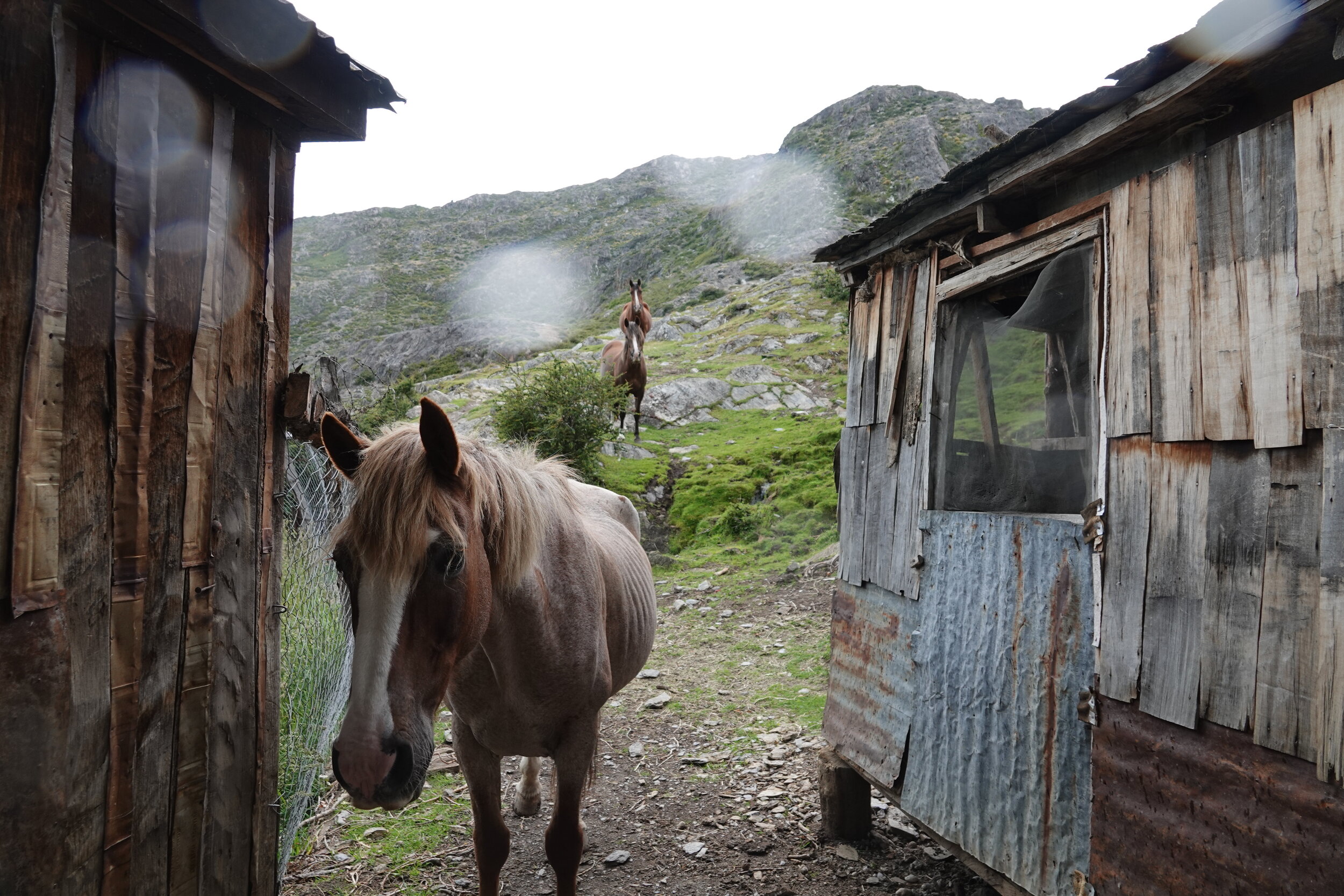
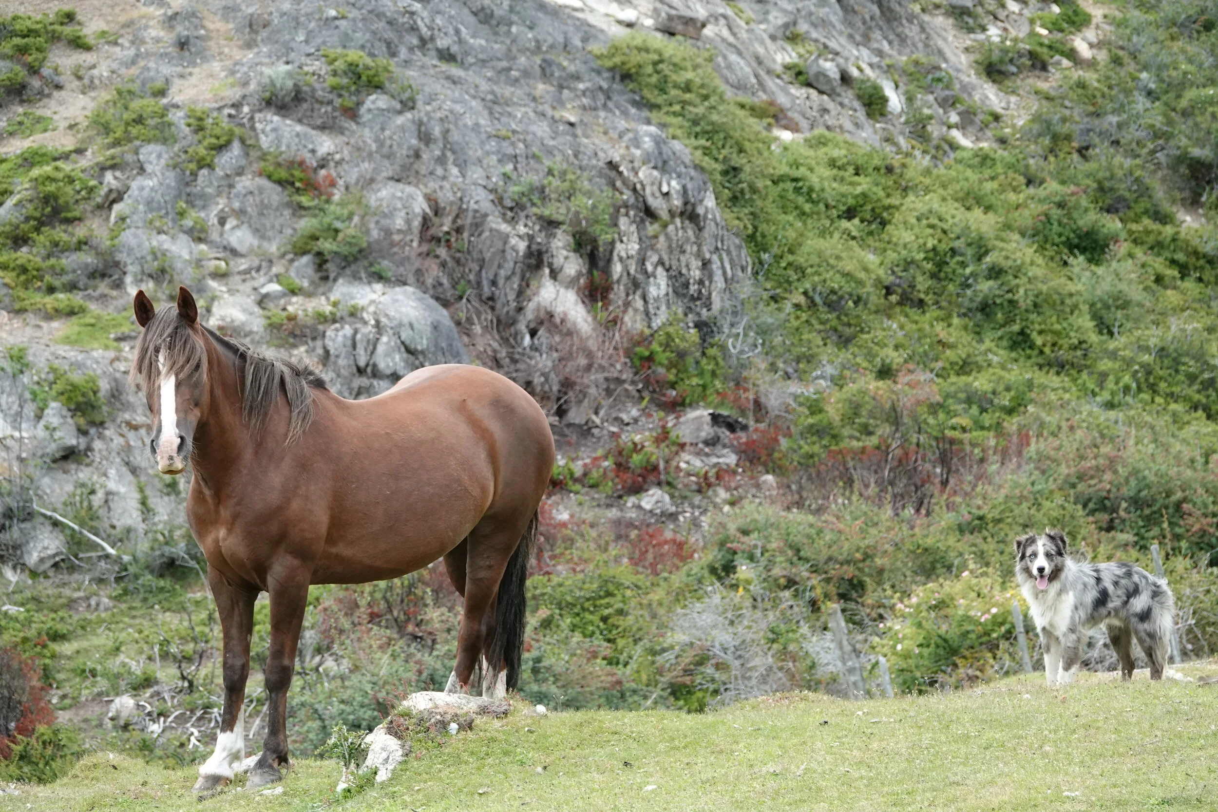
It was a stark contrast between the relentless winds so far in Patagonia and the quiet and warm Estancia La Morocha. Don Chicho has lived and worked here for over 50 years and knew the area well, including where I had come from and where I am going. They were happy to learn that I had spotted their goats near the landing site on the North Arm as they had escaped almost a week ago!
Mirna and TIare saddled up the horses and went to recover the goats. Me and Chicho stayed behind to move some of the hay and cut up the firewood that had been dropped off by the last ferry which runs once in 10 days.
and The Lake. Oh man, by now I am realizing how rough and bad this place is during summer. I zoom on the shore of Central Island and try to look into the far east shore where I will need to get to in order to continue to Argentina. It’s just crazy.
Don Chicho says that this part here to the central island is usually one of the most calm of the entire lake.


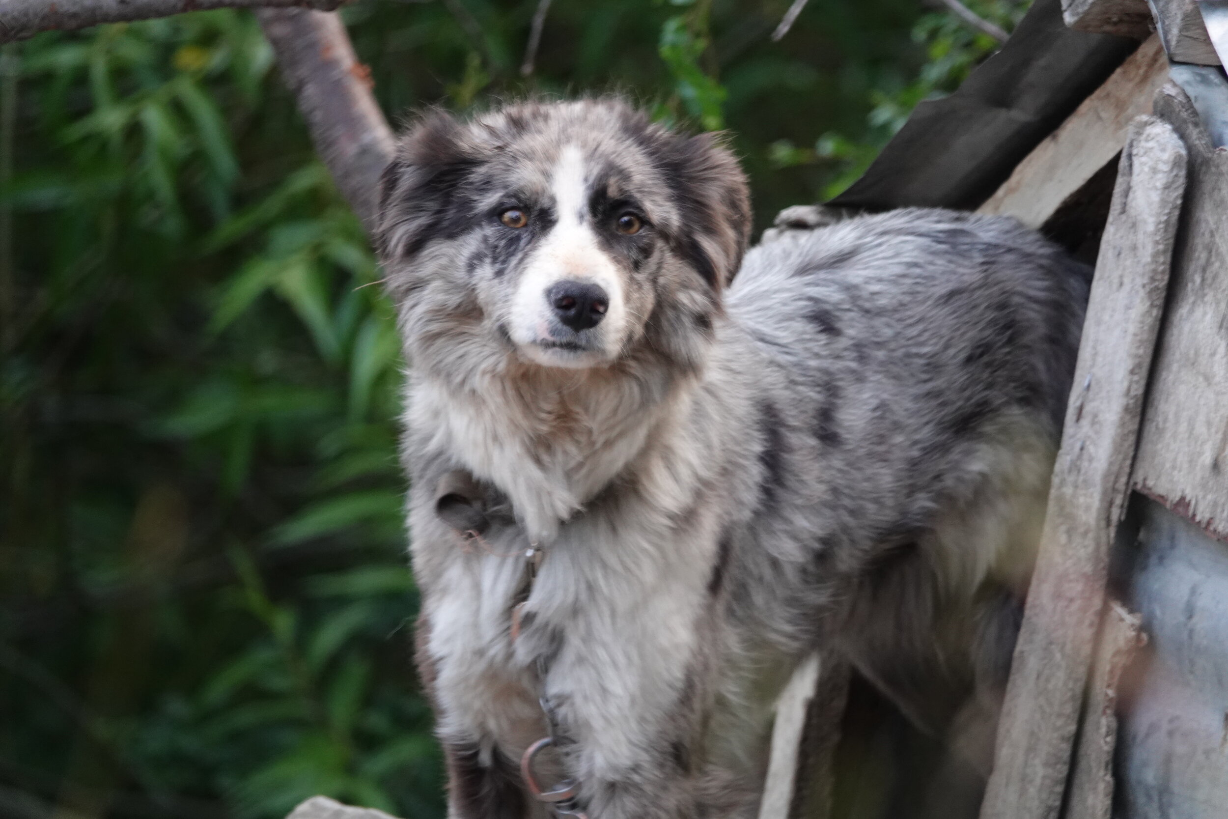
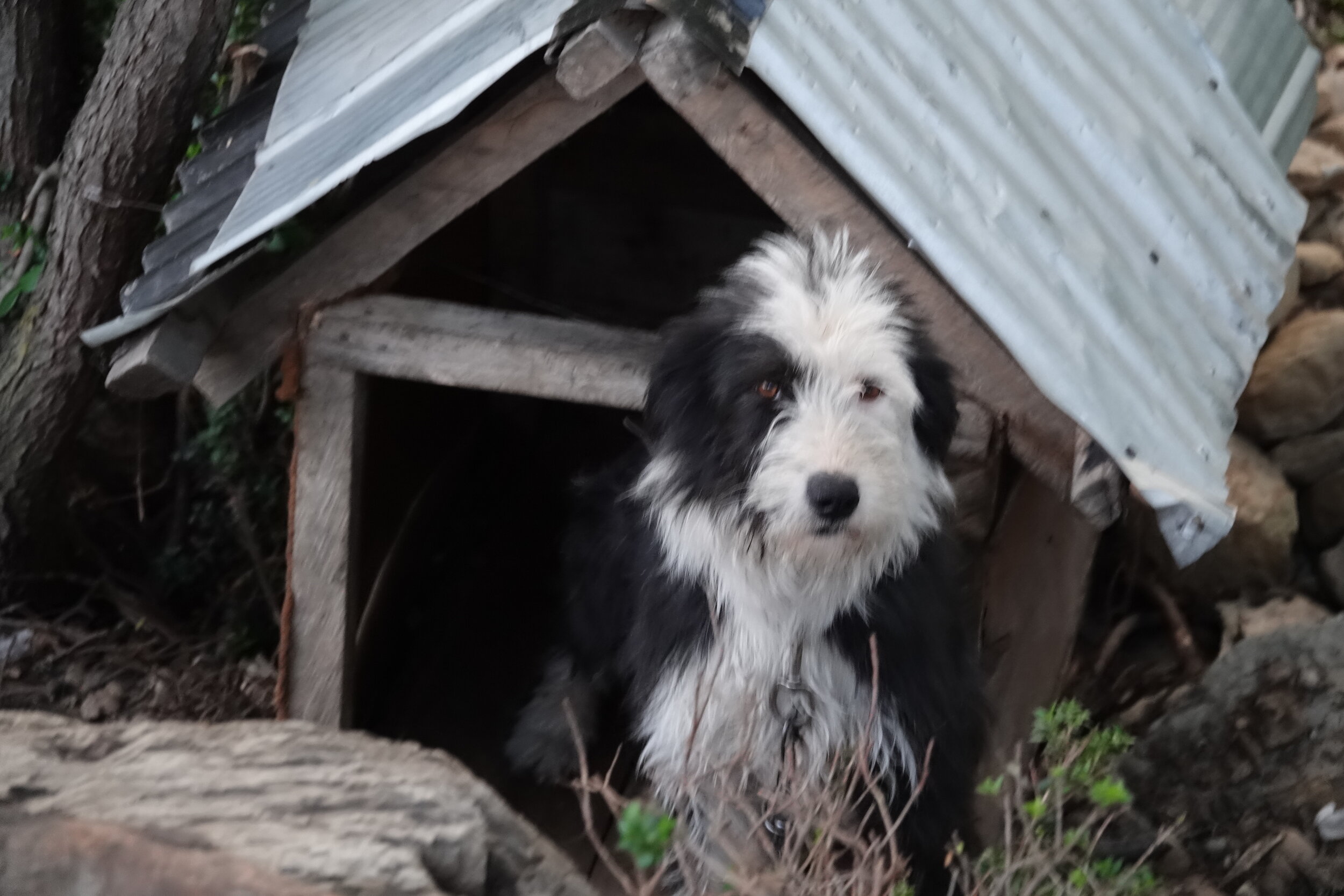
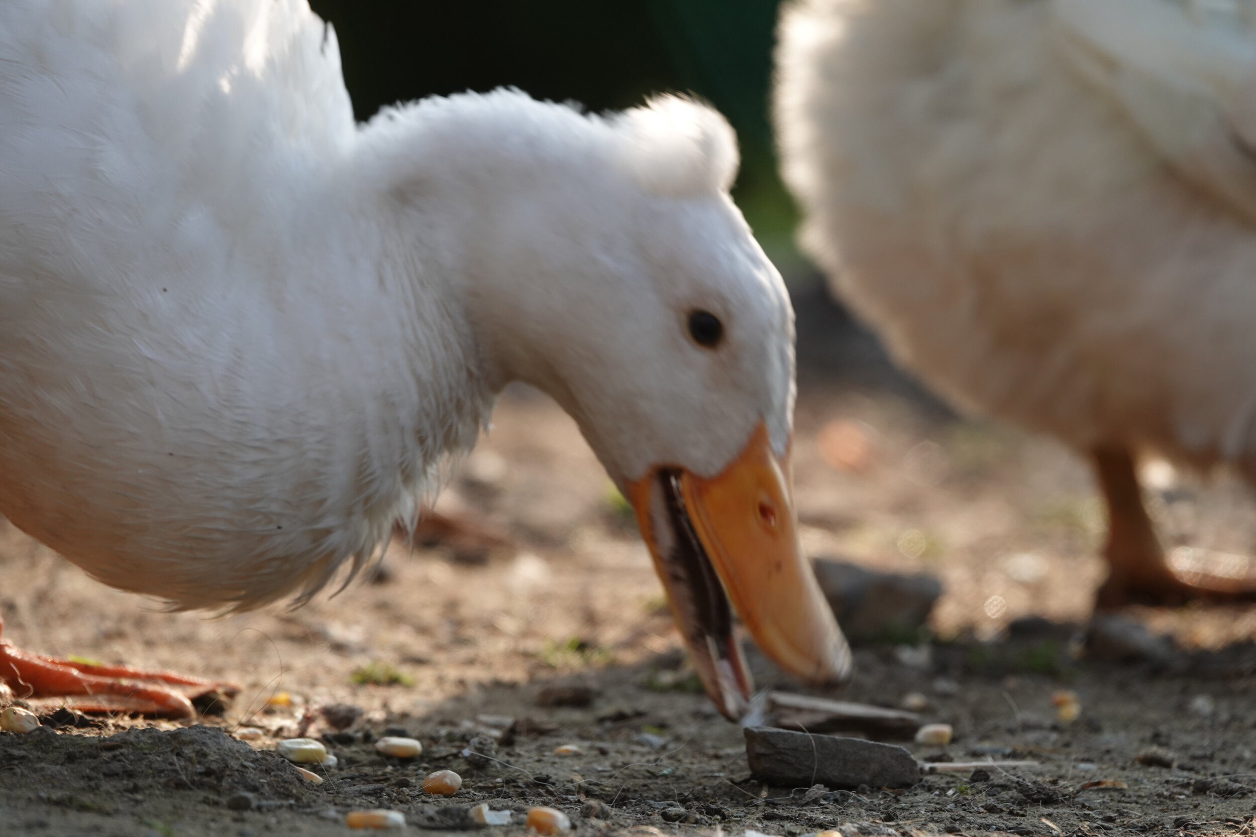
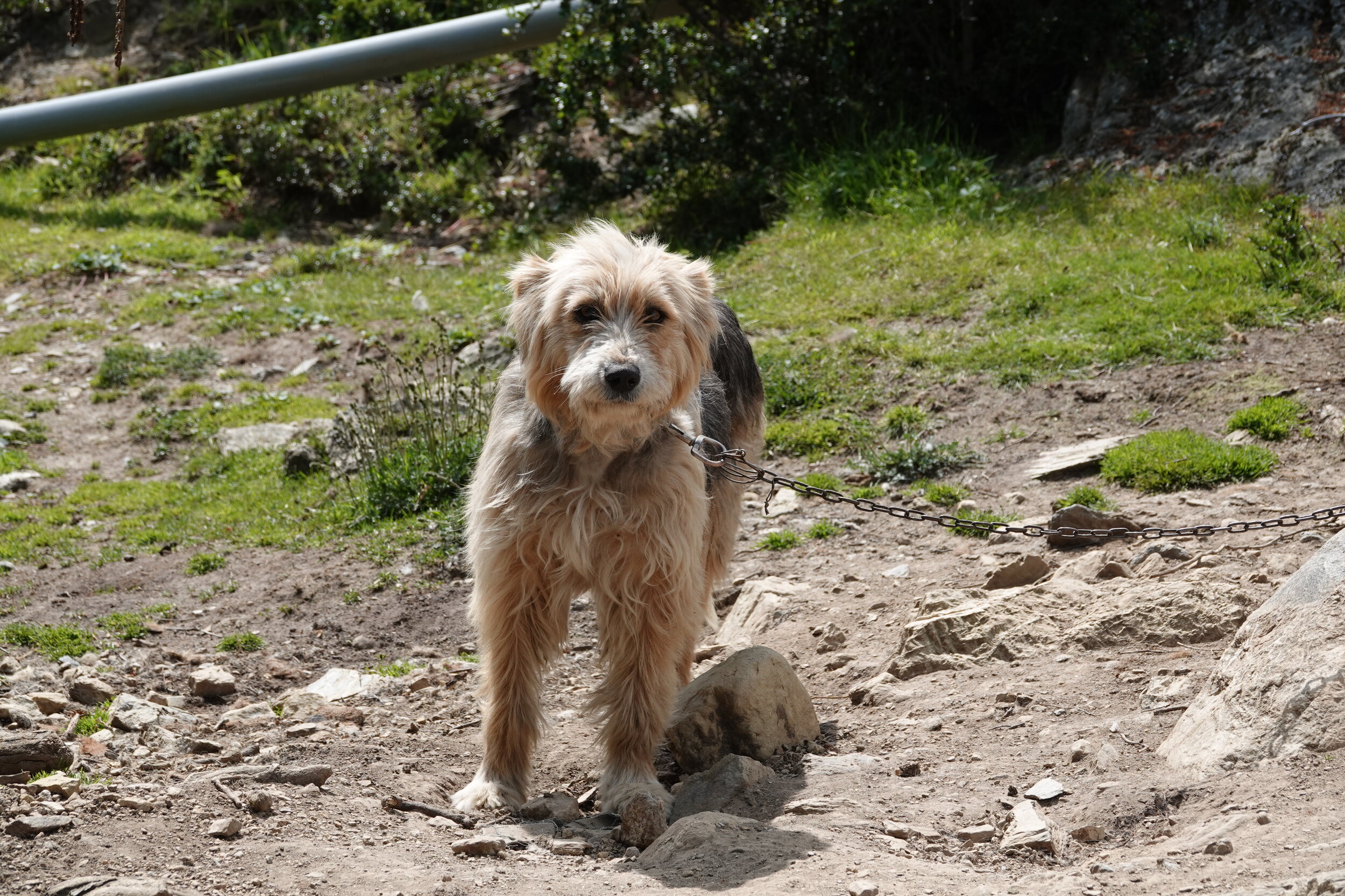
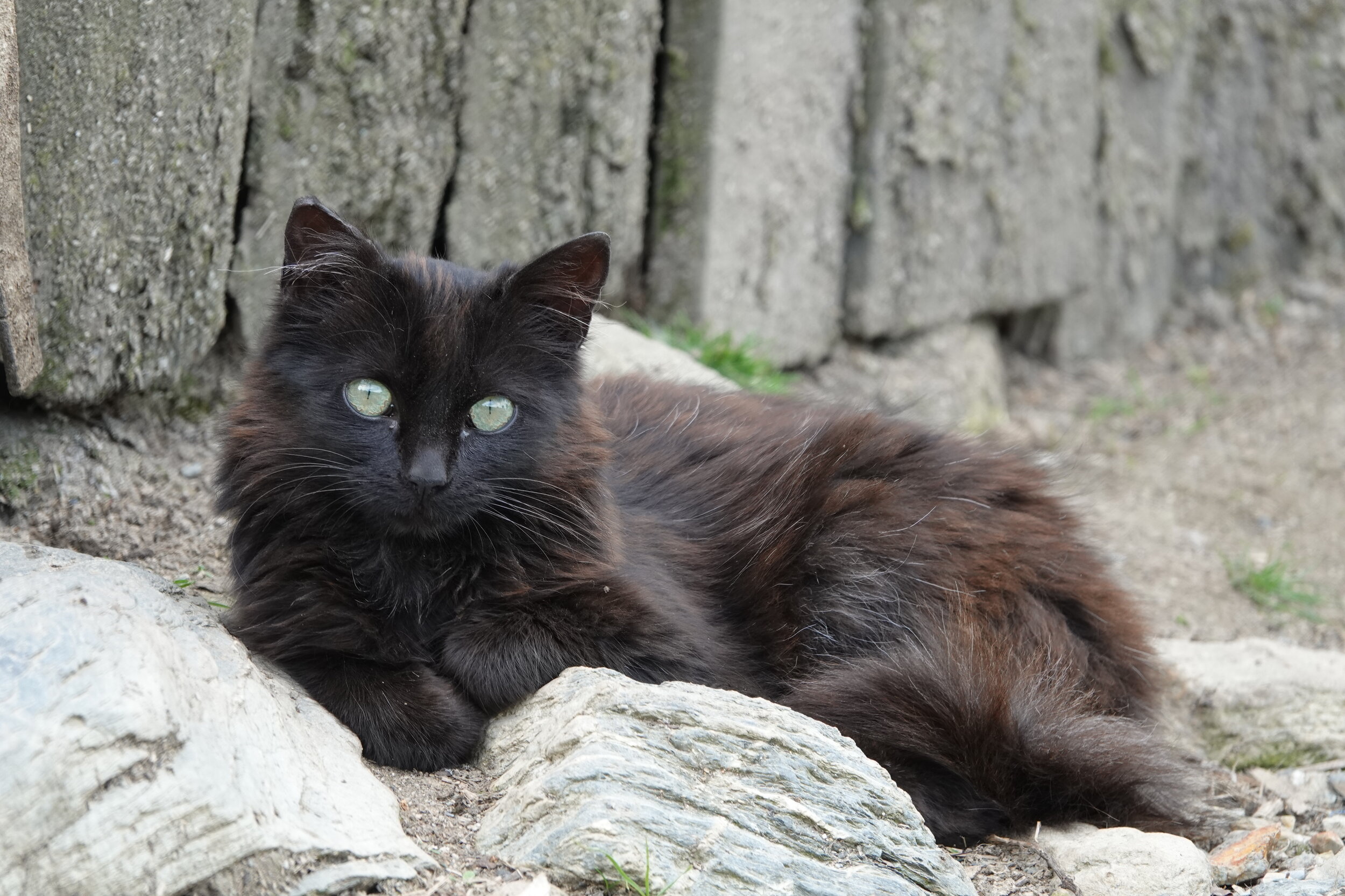
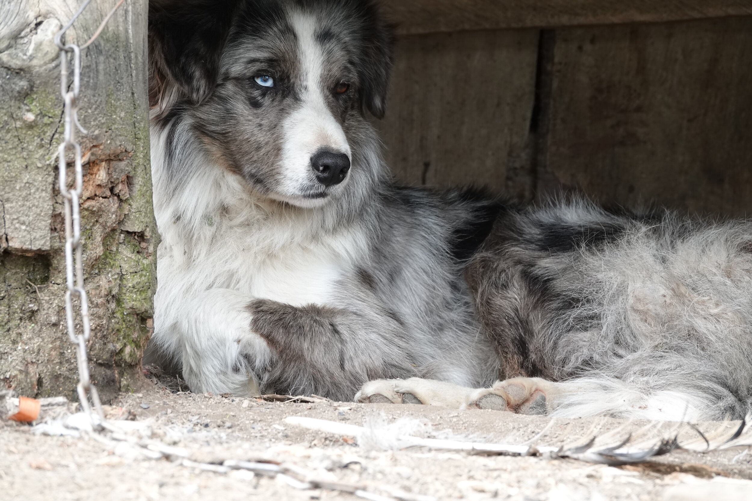
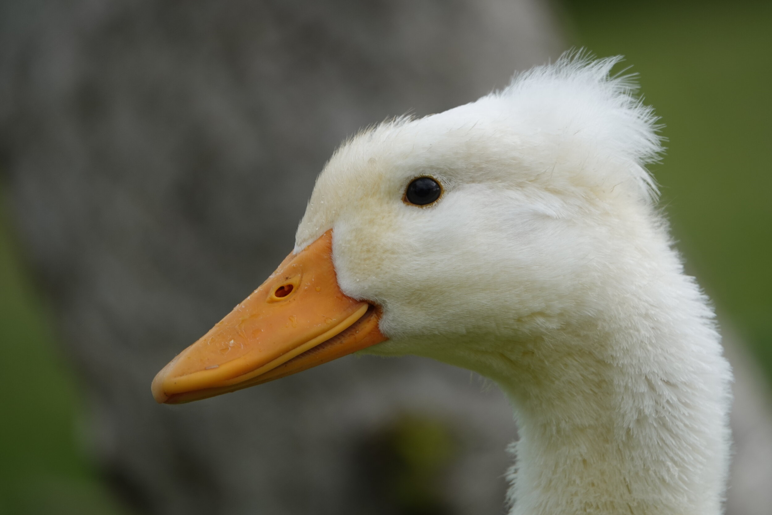
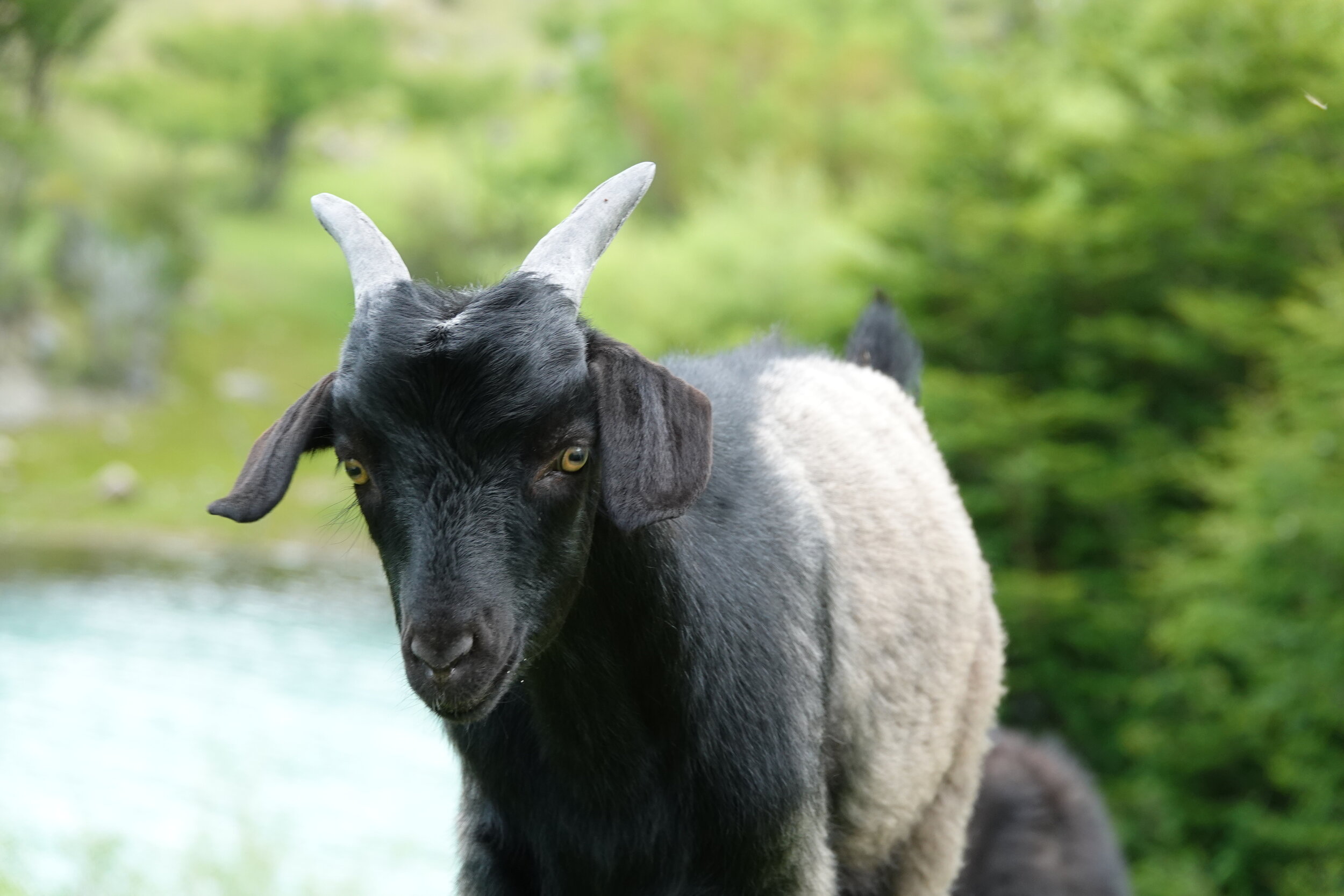
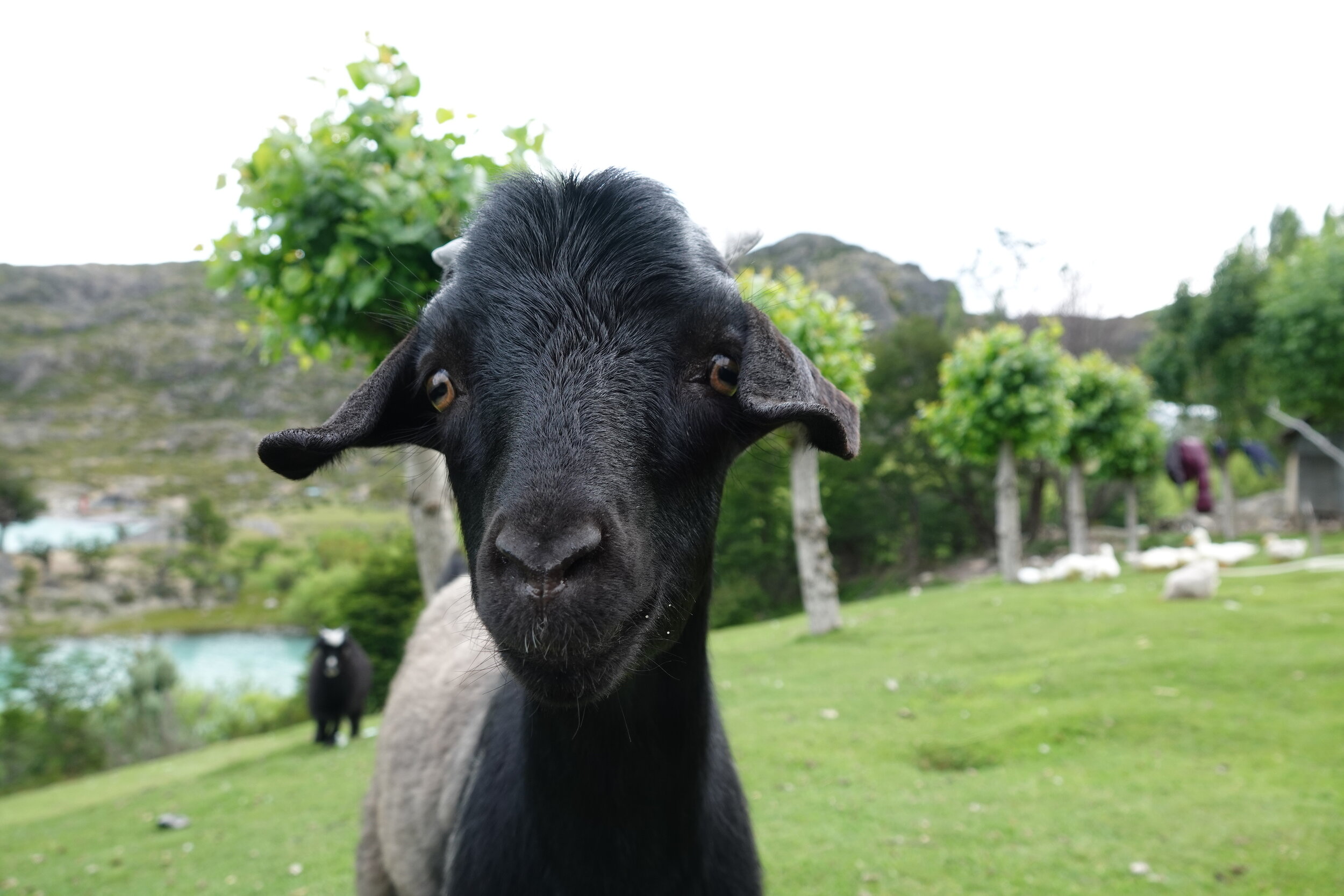
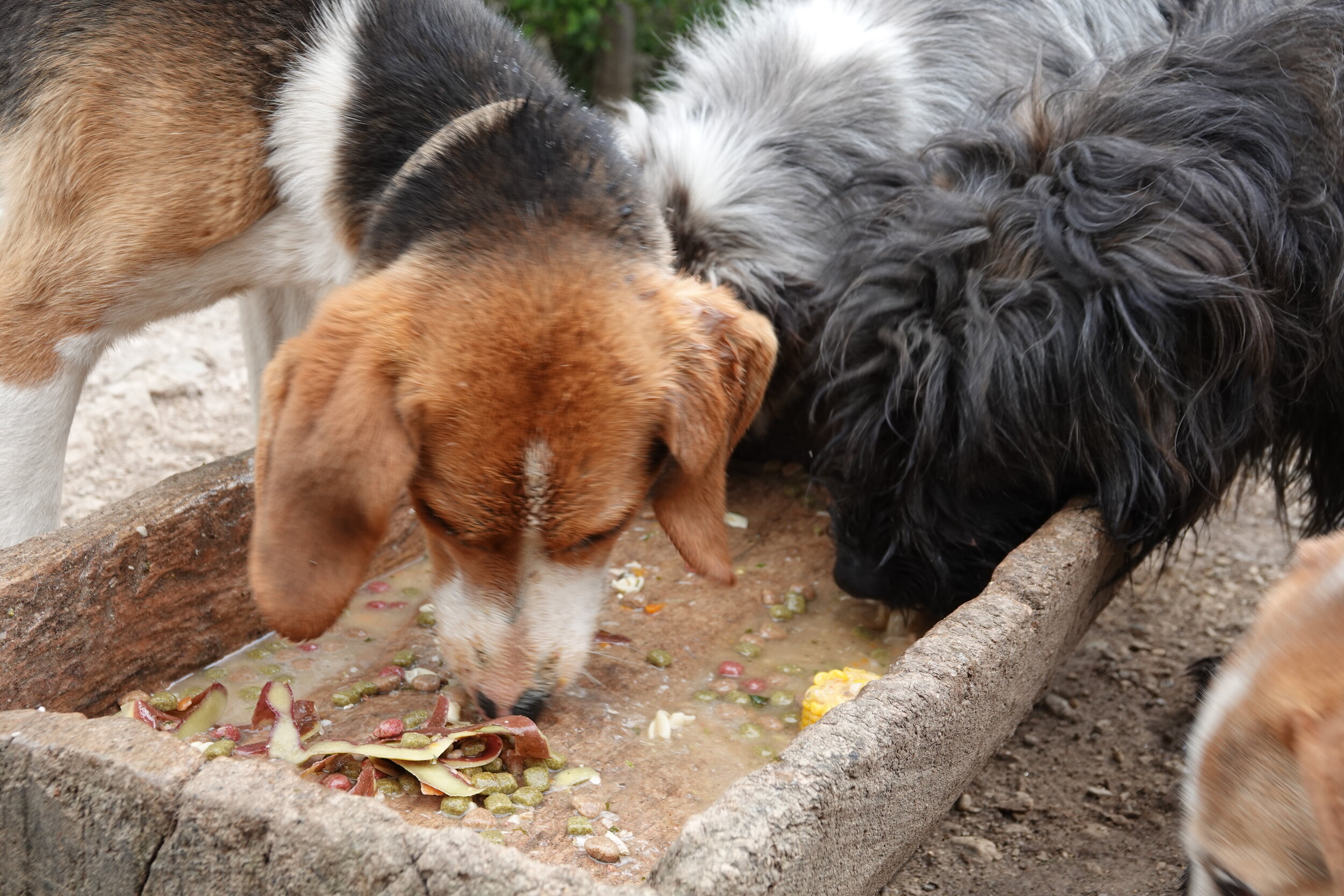
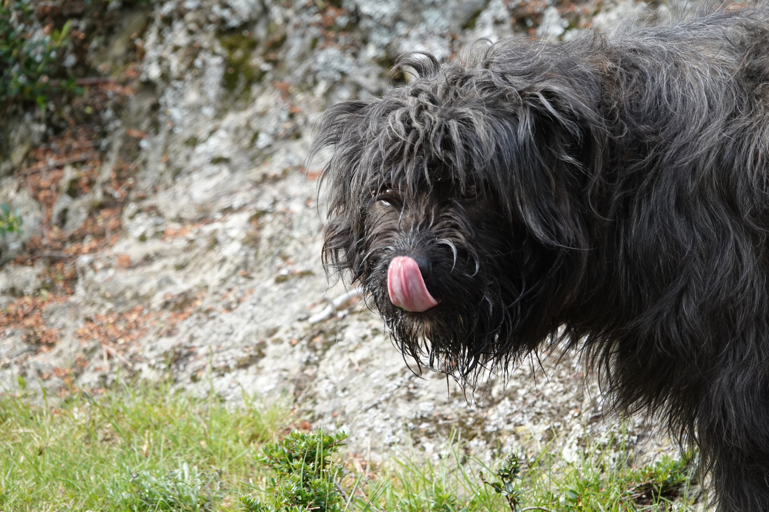
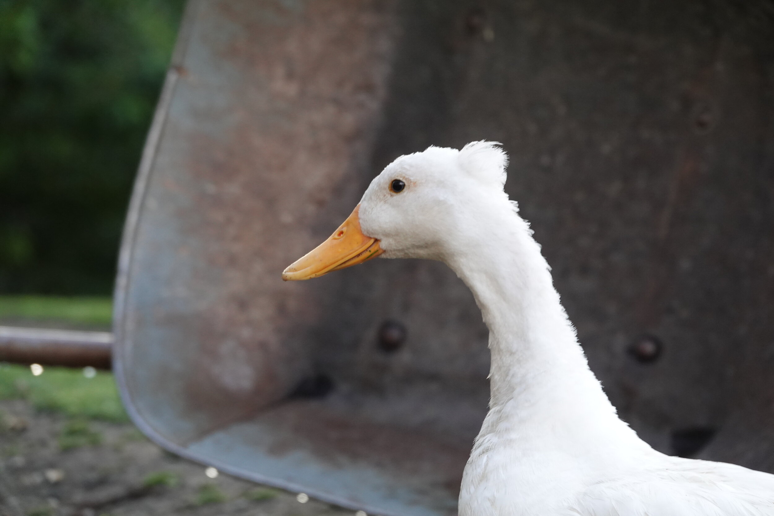
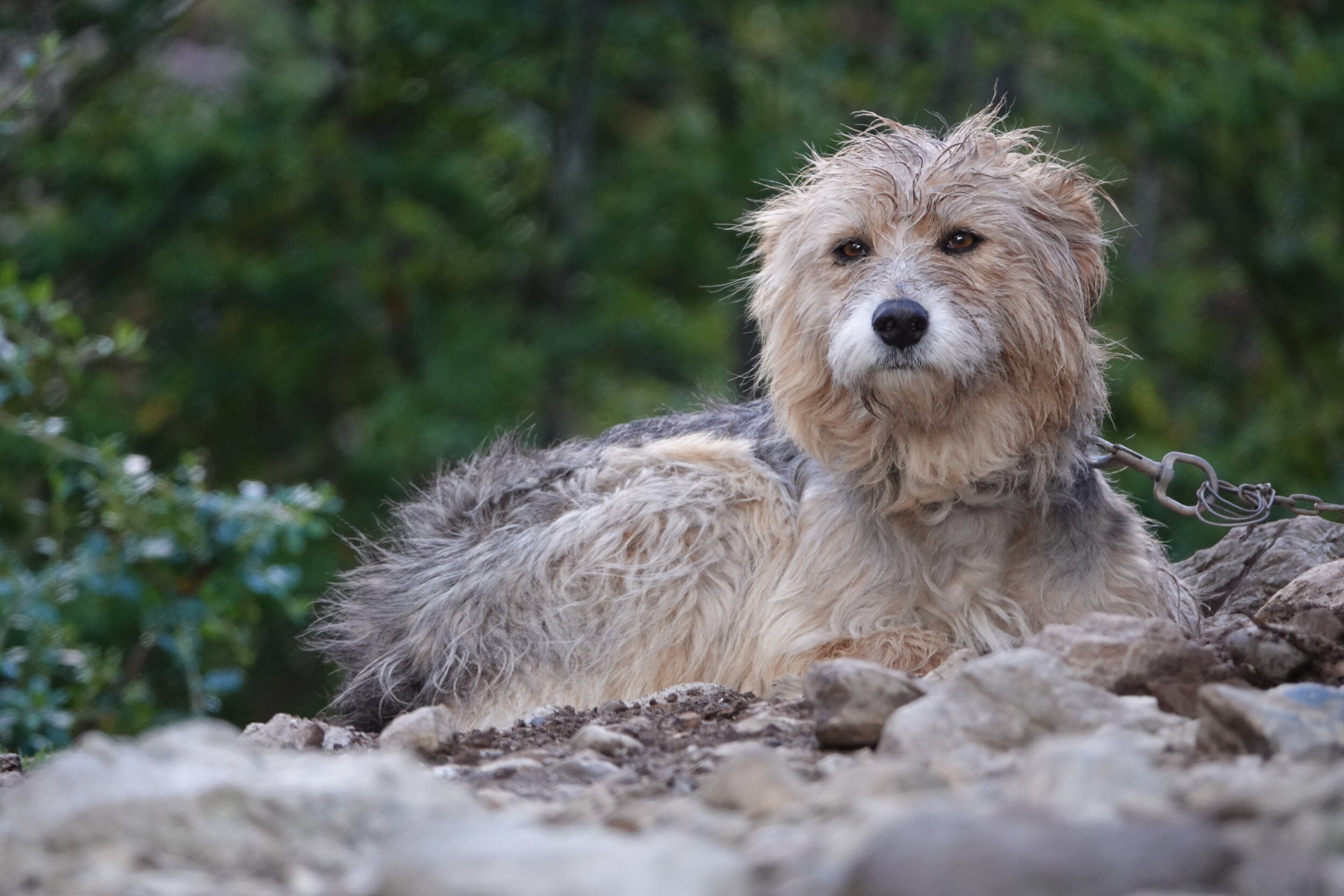
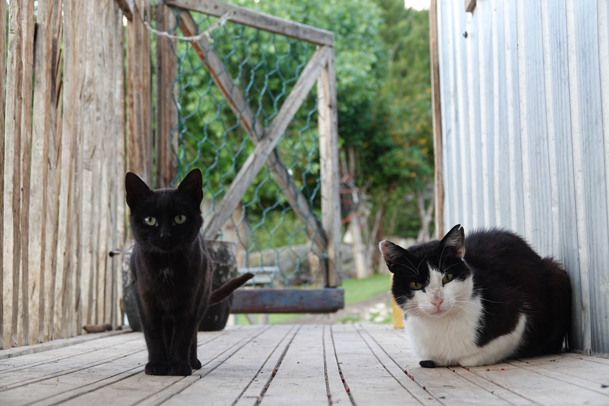
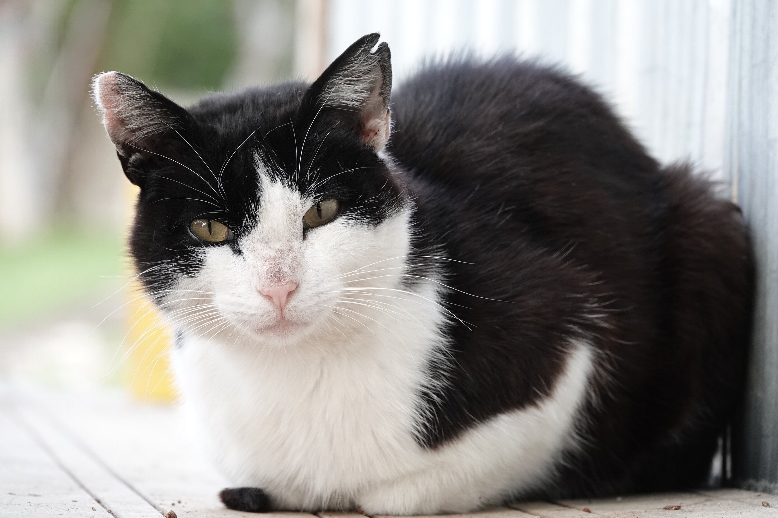
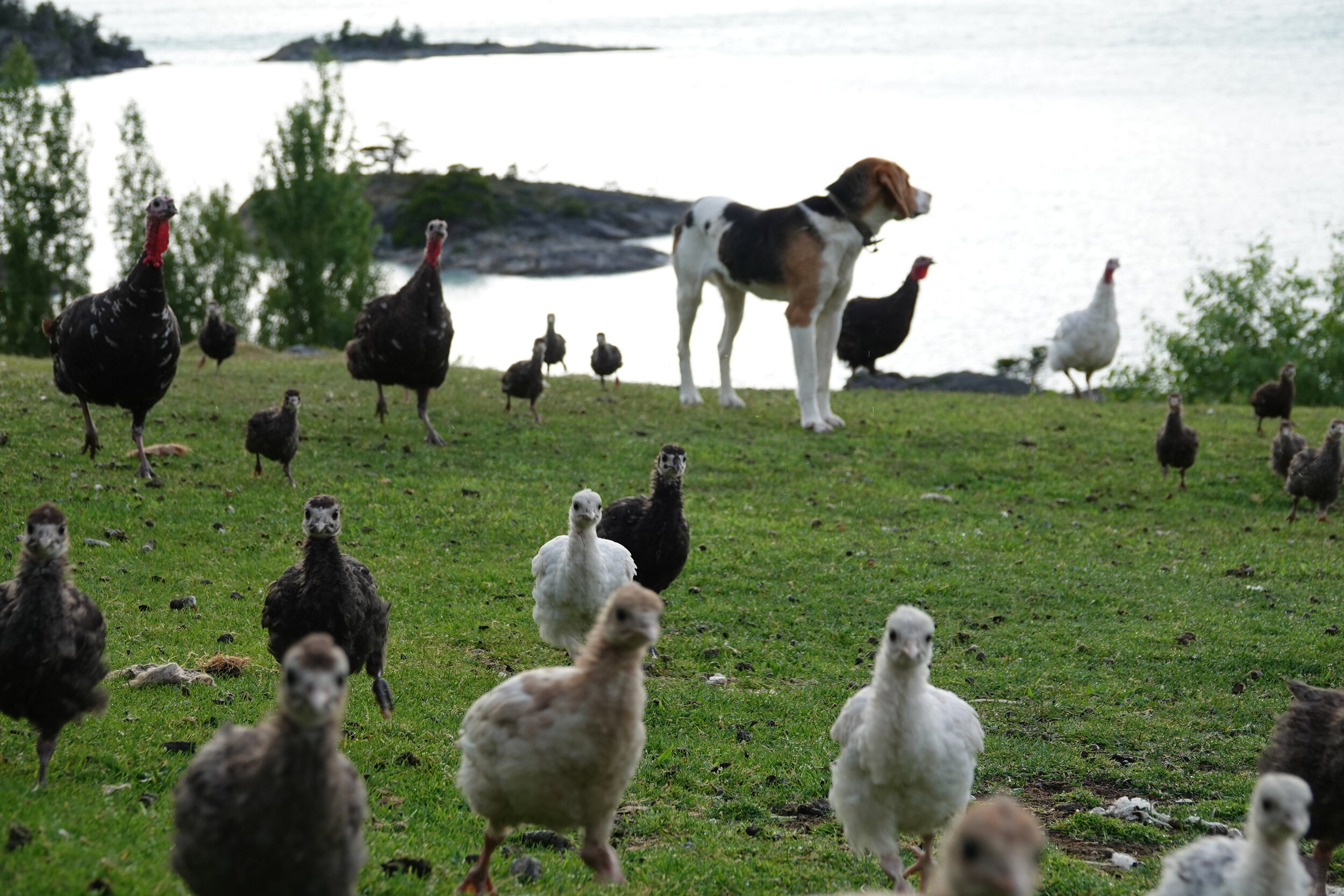
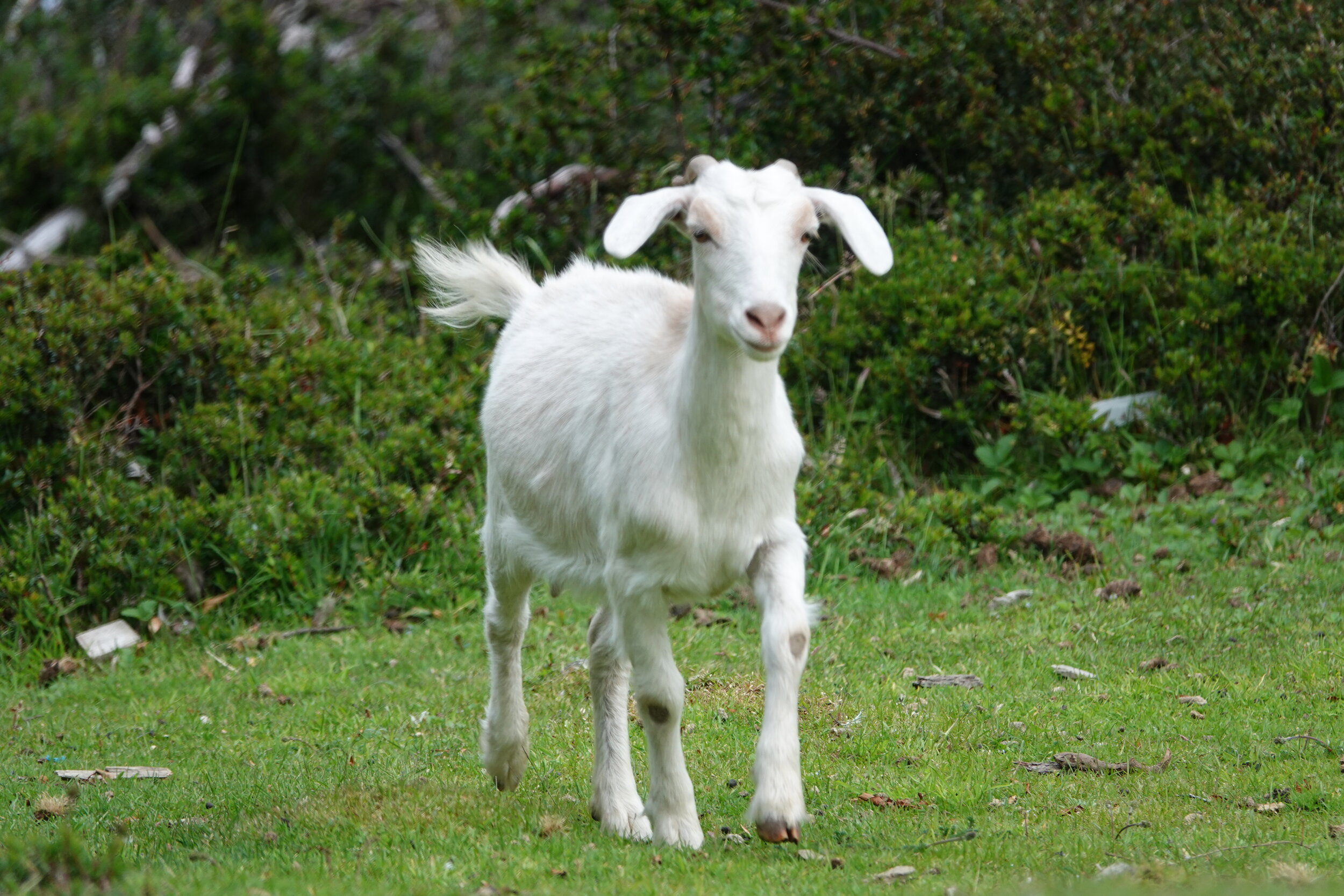
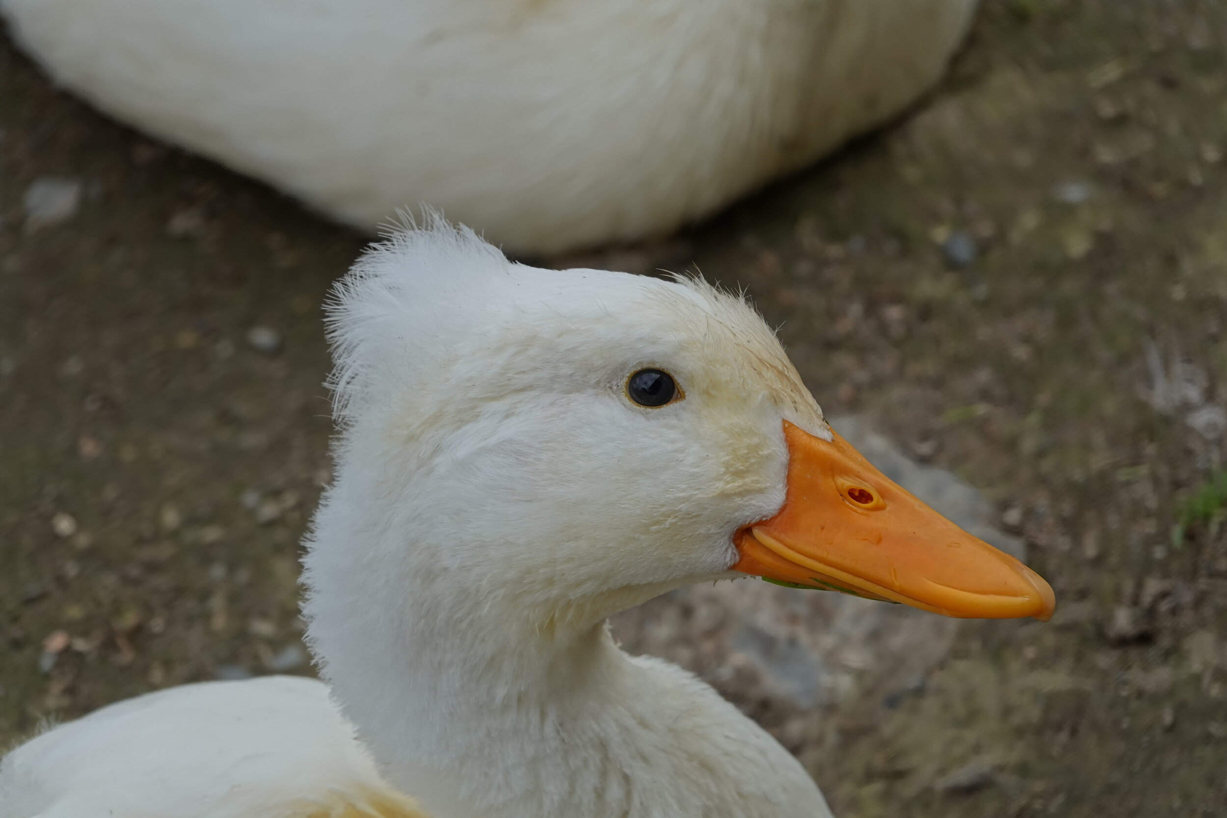
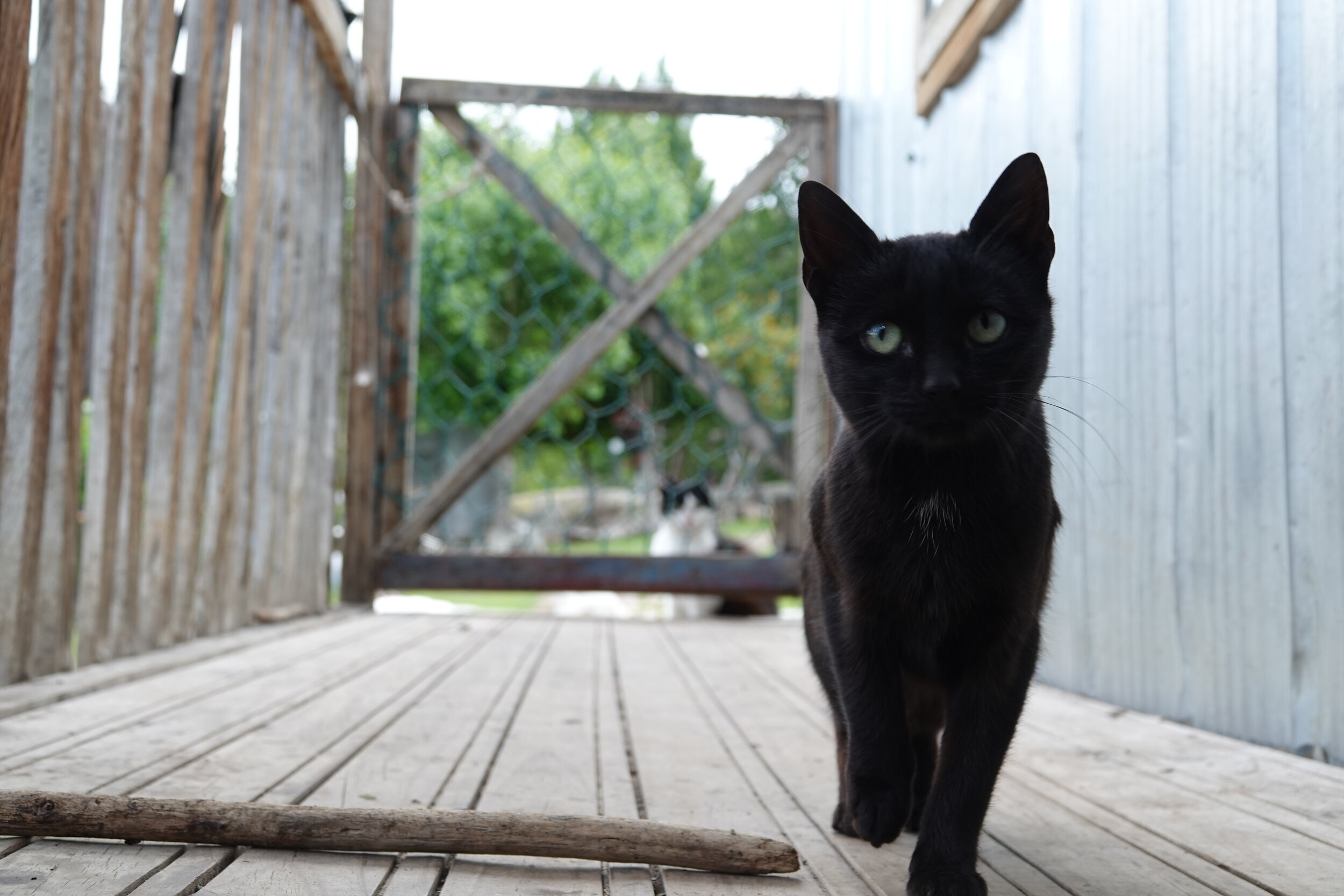
The ranch is amazing and lively, I quickly make introductions to all the dogs and in the 3 days that I stayed here make friends with all but one. Life here was hard to capture on video or in words and I have been stuck on this blog post for while even after the videos 37 and 38 rolled on. Instead, here is a short video of one of the highlights of the day. When it is time to feed the animals!
and below a photo gallery of all the animals! I made friends with all dogs except for one. Could you figure out which?
A big question mark stood above all my plans. Would the wind ever stop? Don Chicho told me of an old trail they used a long time ago that can take me further west. I would be able to scout the shore along the way and plan for the crossing. He also suggested I wait for the next ferry but I knew that I could make it, just need to find a 2-3 hour window of calm weather.
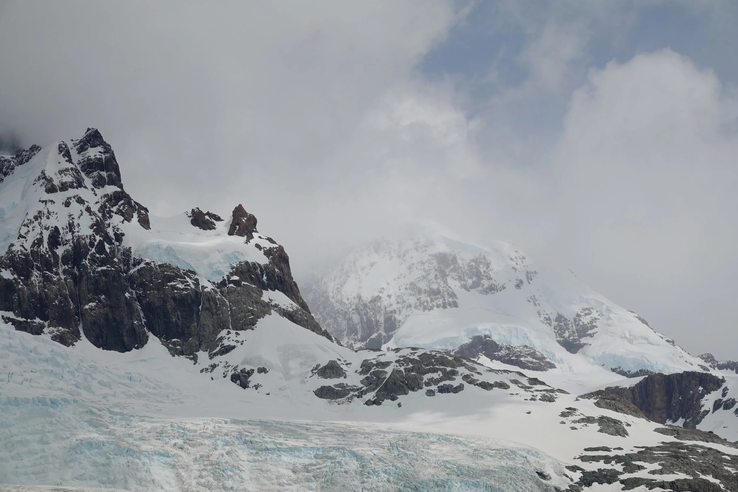
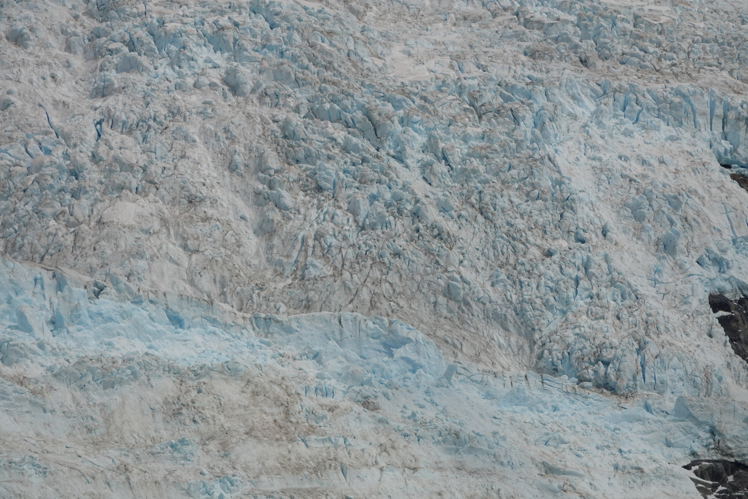
Icebergs from Glacier O’Higgins float by with the wind, a reminder of the history & origin of that lake and the enormous glaciers that surround it.


and these icebergs are never what they seem to be!


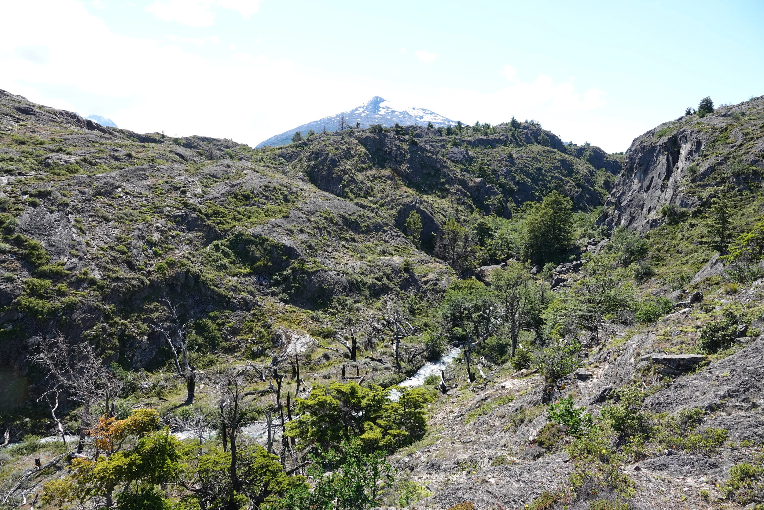
The initial part of the trail was in very good condition, easy to follow and eventually led me over a little hill and offered a good view of the waters surrounding the central island.


Chicho told me that there were people living at the central island, this looks to be their house. I take a note on the map in case end up passing near

looking south, things just look nasty.
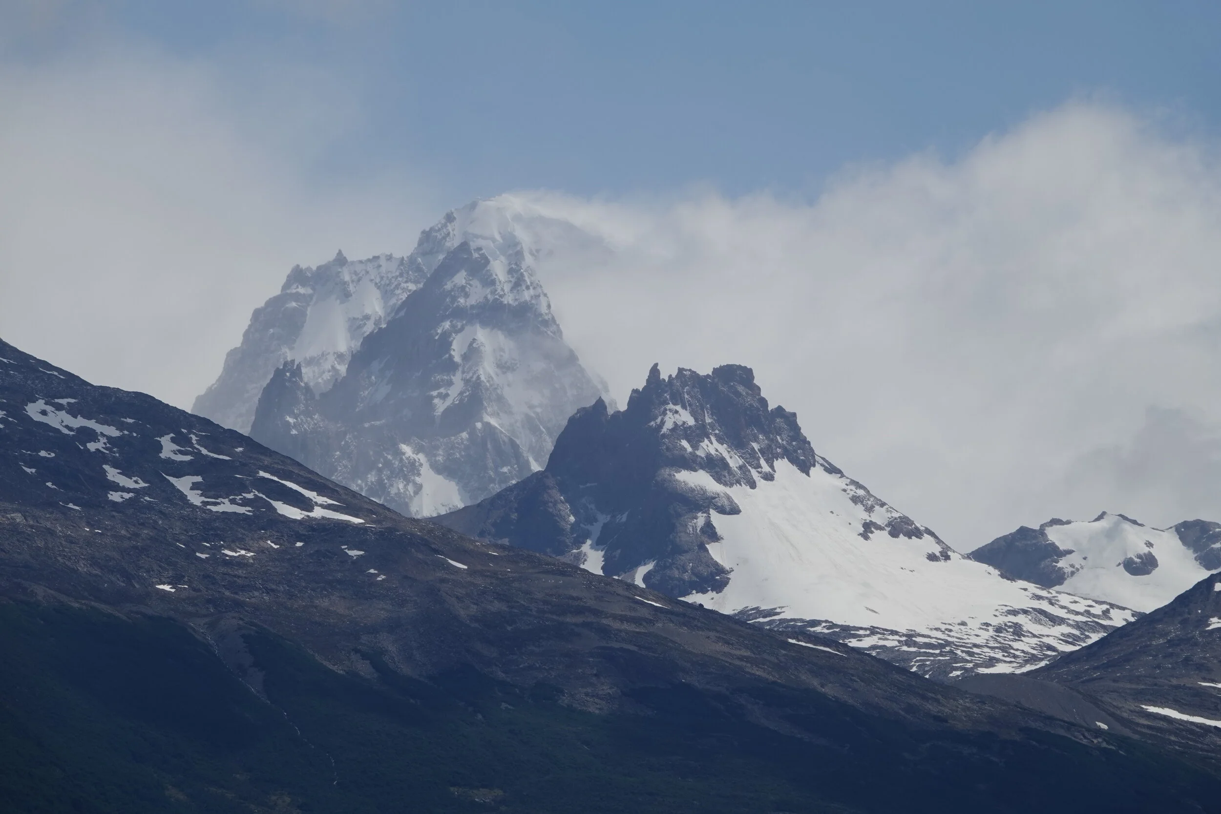
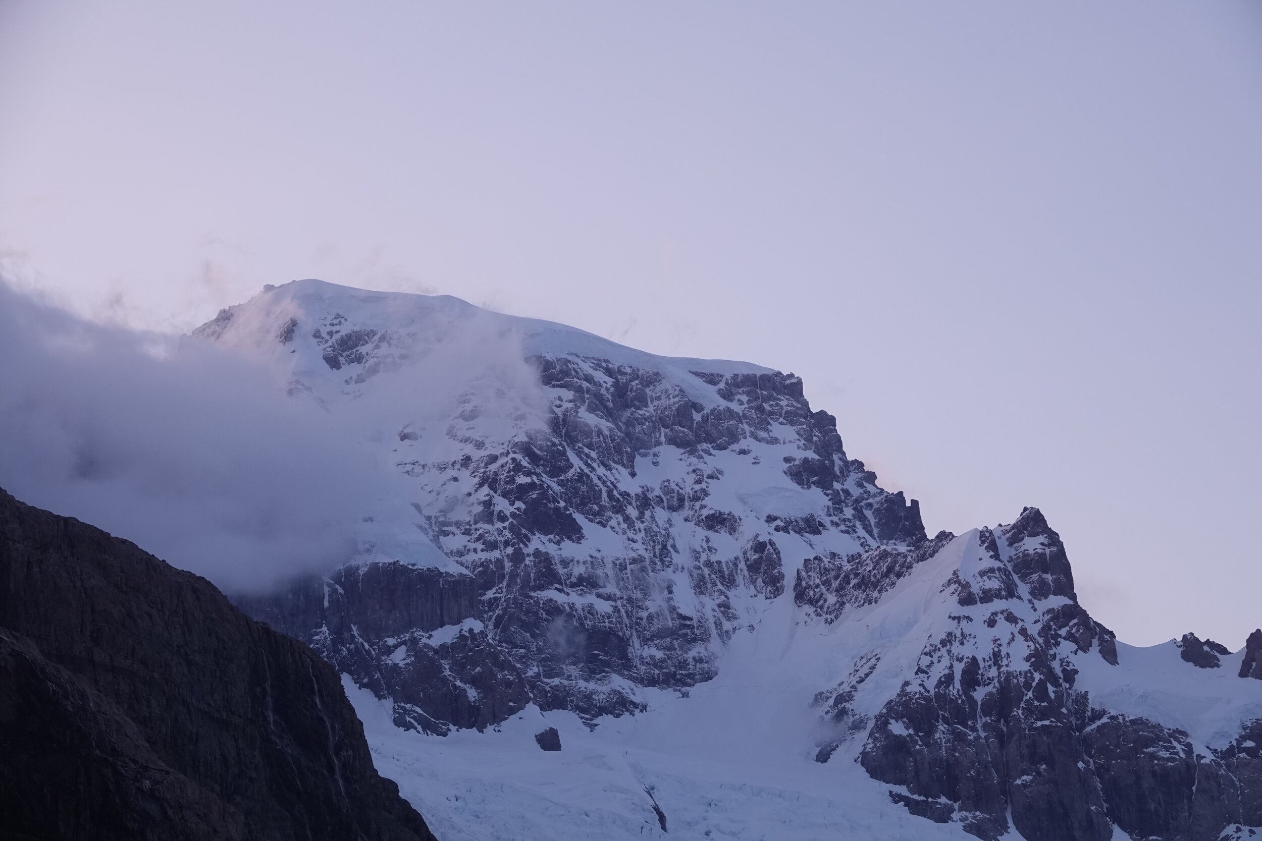
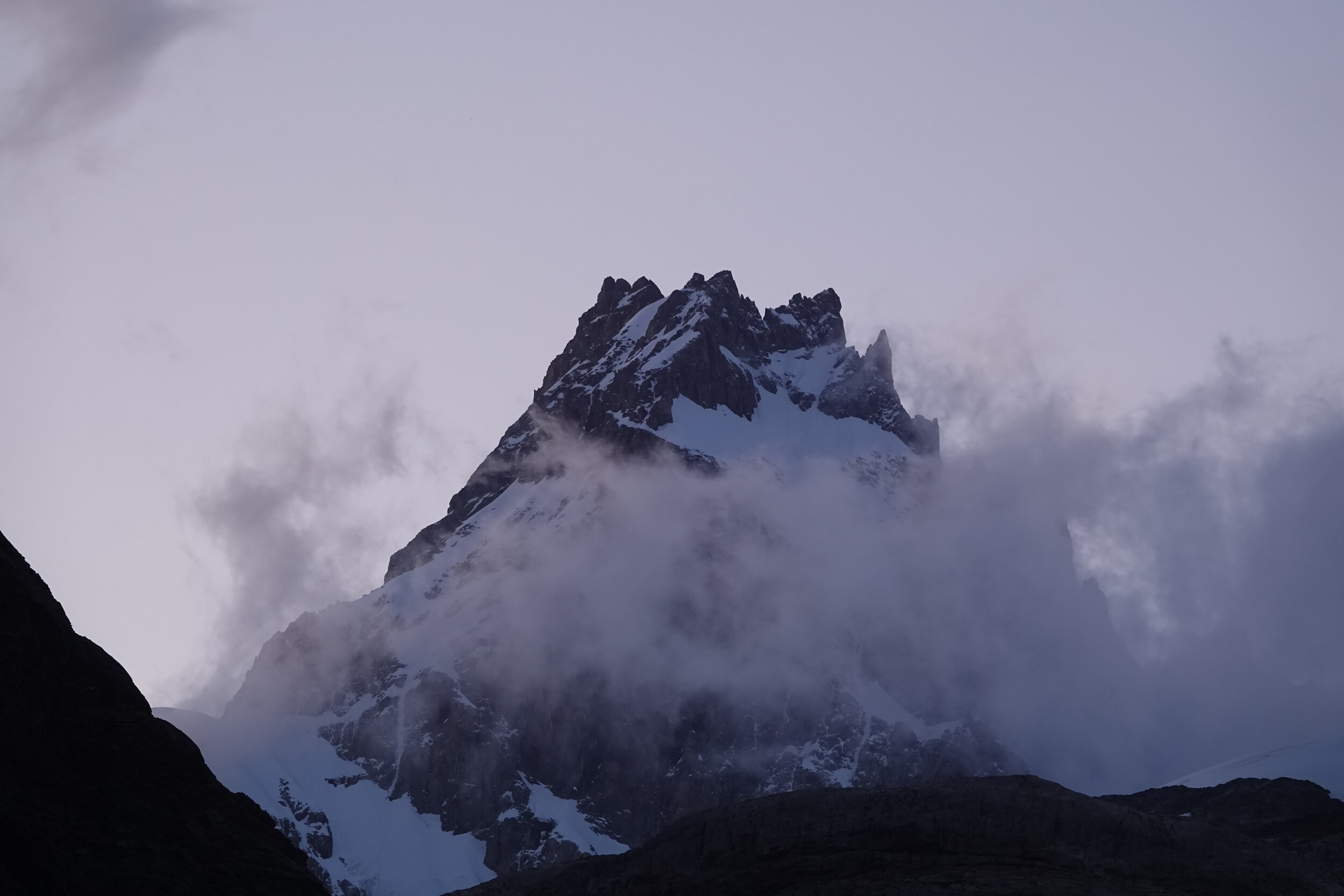
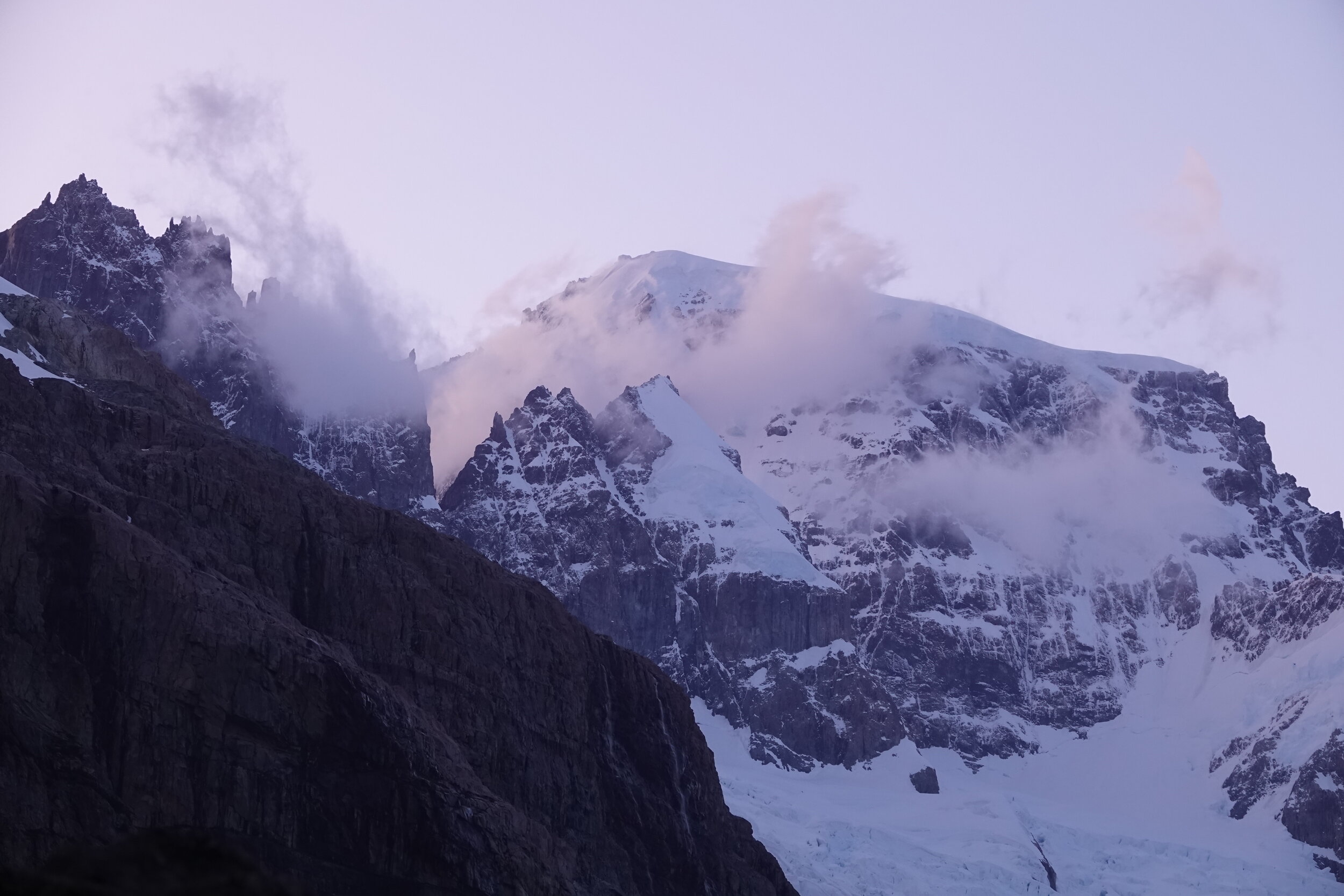
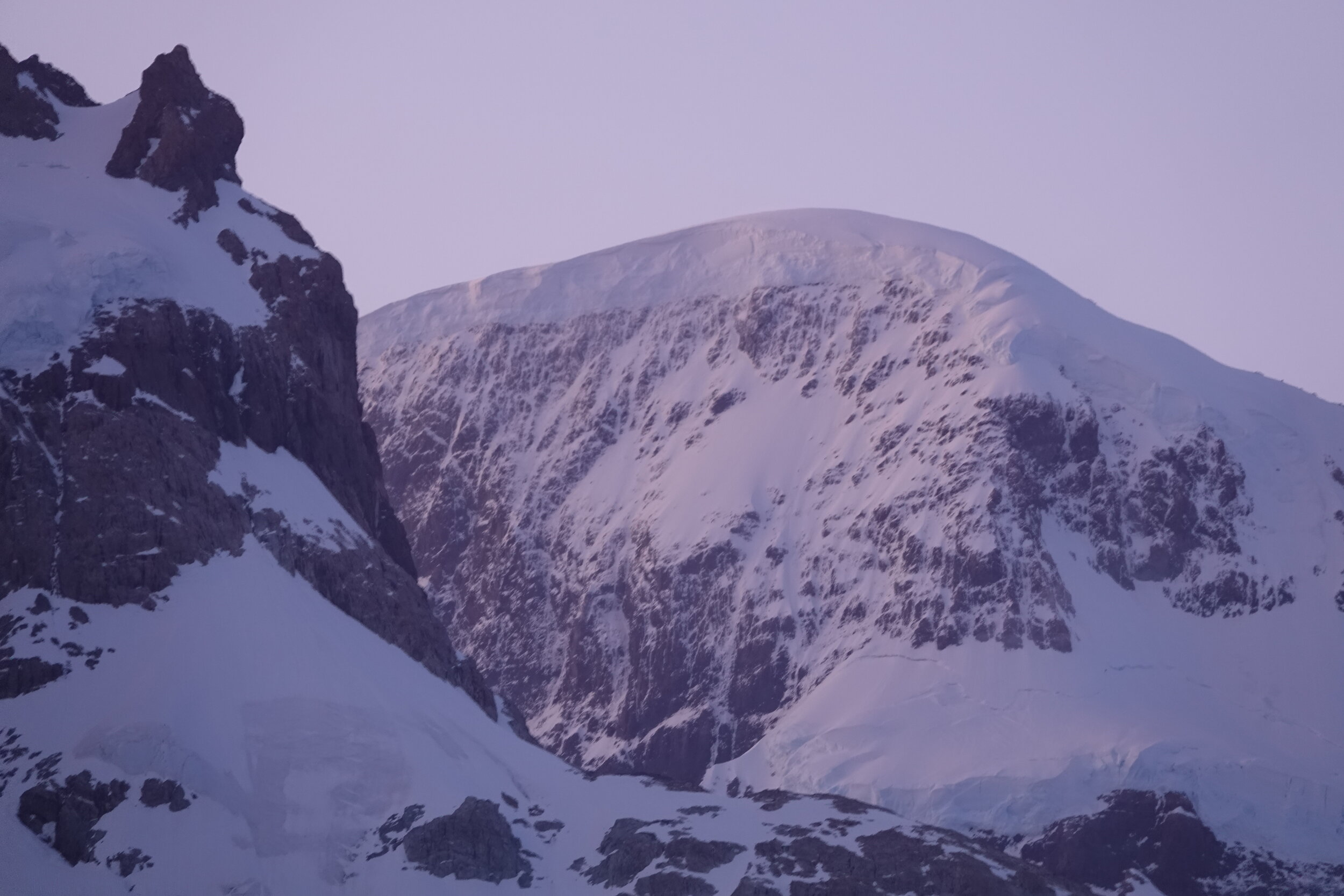
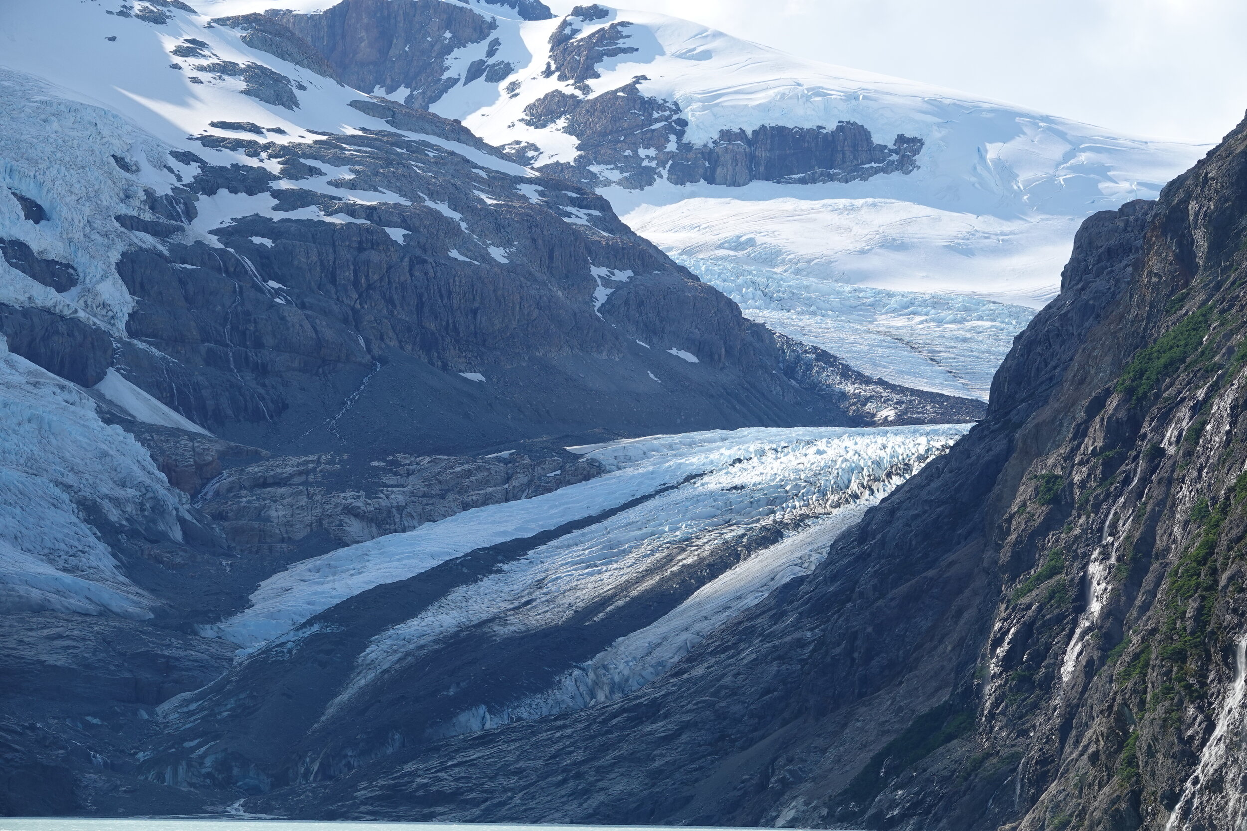
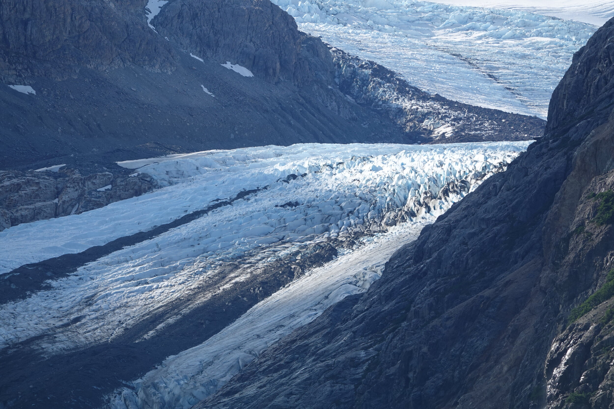
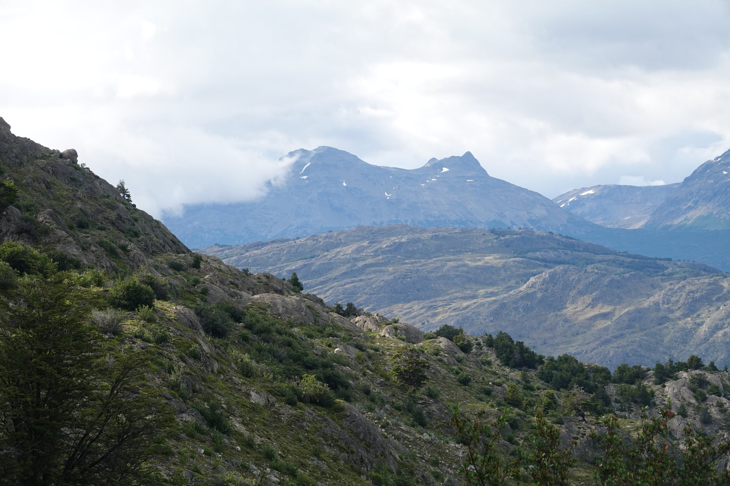
The trail continues along the coast in great condition and easy to follow. I spot a big snowy mountain and wonder if i can get closer to it. It seems to be one of the peaks at the edge of the southern icefield.

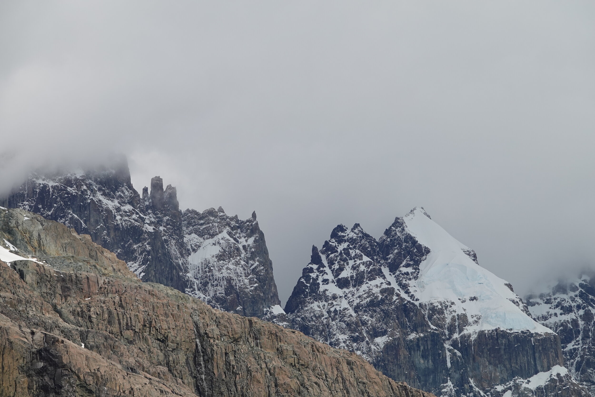
the camera lenses struggle to show the topography here. The sheer cliffs looking up. Don Chicho told me there was a high trail too but that would take few days. I look up and wonder what it would be like to be somewhere up there…


The trail is gone and I am left with a maze of rocks and cliffs with dense vegetation in between. I scramble around trying go further west and at times it is just ridiculous. The trail has long faded and the only tracks are those of cattle, going around with or without reason in all directions

some of the cracks in the rock require large detours to go through

but somehow in an odd way, it feels safer than being in the water. Paddling against this wind would be impopssible.

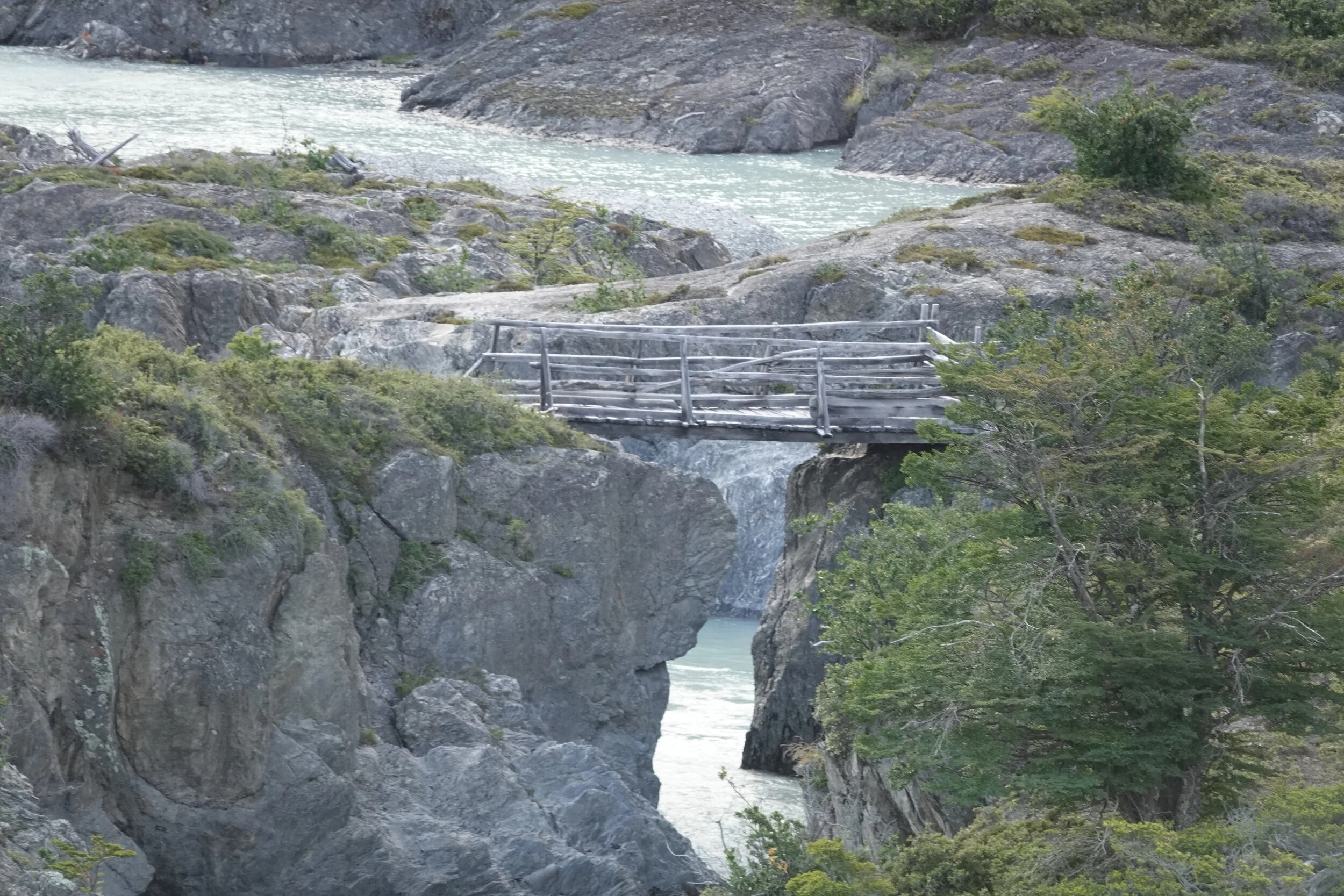
I was told that there is a bridge over Rio Cascada and went around looking for it. The river had a calmer section further up where I could cross with boat but a bridge is a bridge.

Exhausted I reached Estancia La Ramona, who knew that I was coming in advance and I think if that was not the case I would have likely stopped much earlier. Beautiful potato soup for dinner and I got the spend the evening with Antolin & his family. He assured me there is a trail to a lake I wanted to go to and even suggested that there is a possible loop that would take me closer to the edge of the souther icefield. I left my boat & extra food there and went off hiking with a lighter pack.


Trail was mostly easy to follow but I lost it few times and that resulted in various levels of bushwalking
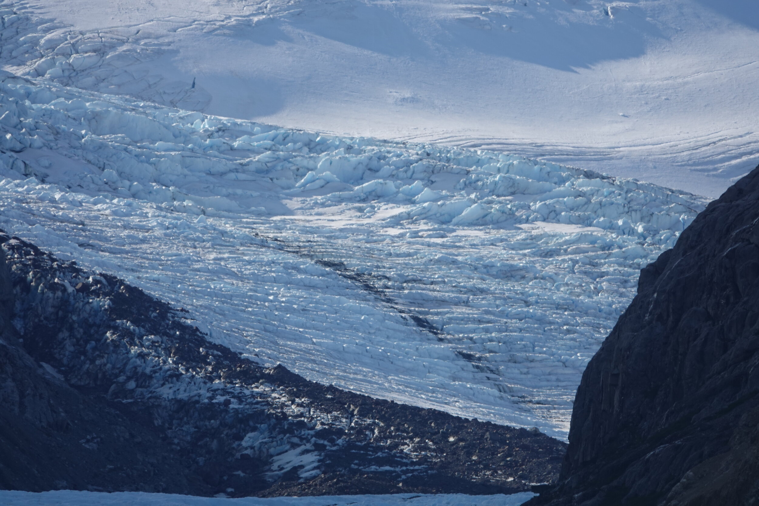
I scouted a possible route I had been thinking off which can take me to an overlook of the icefield but the steep hill and vegetation seemed like a bit much.

and Rio Cascada did not seem very passable at any point.

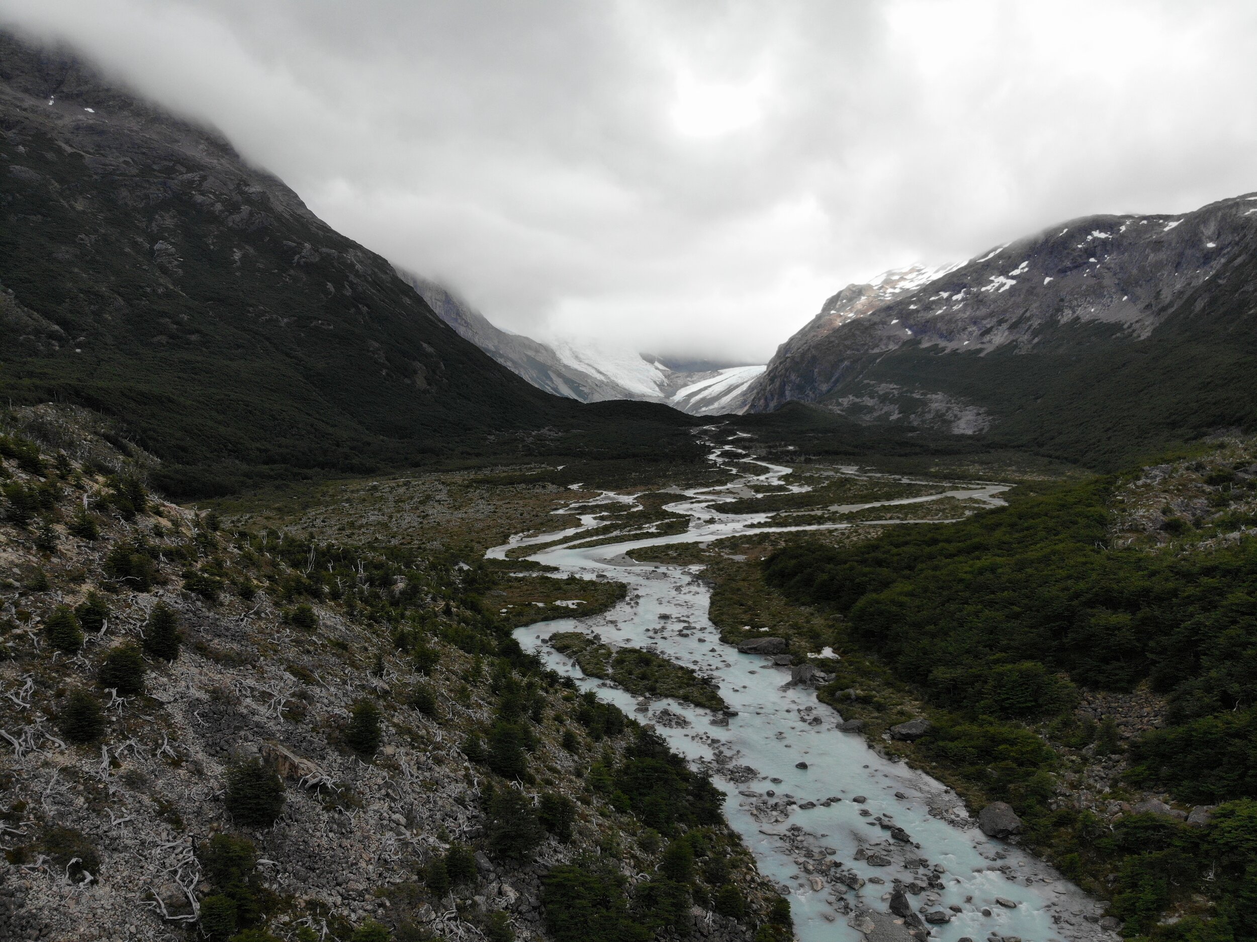
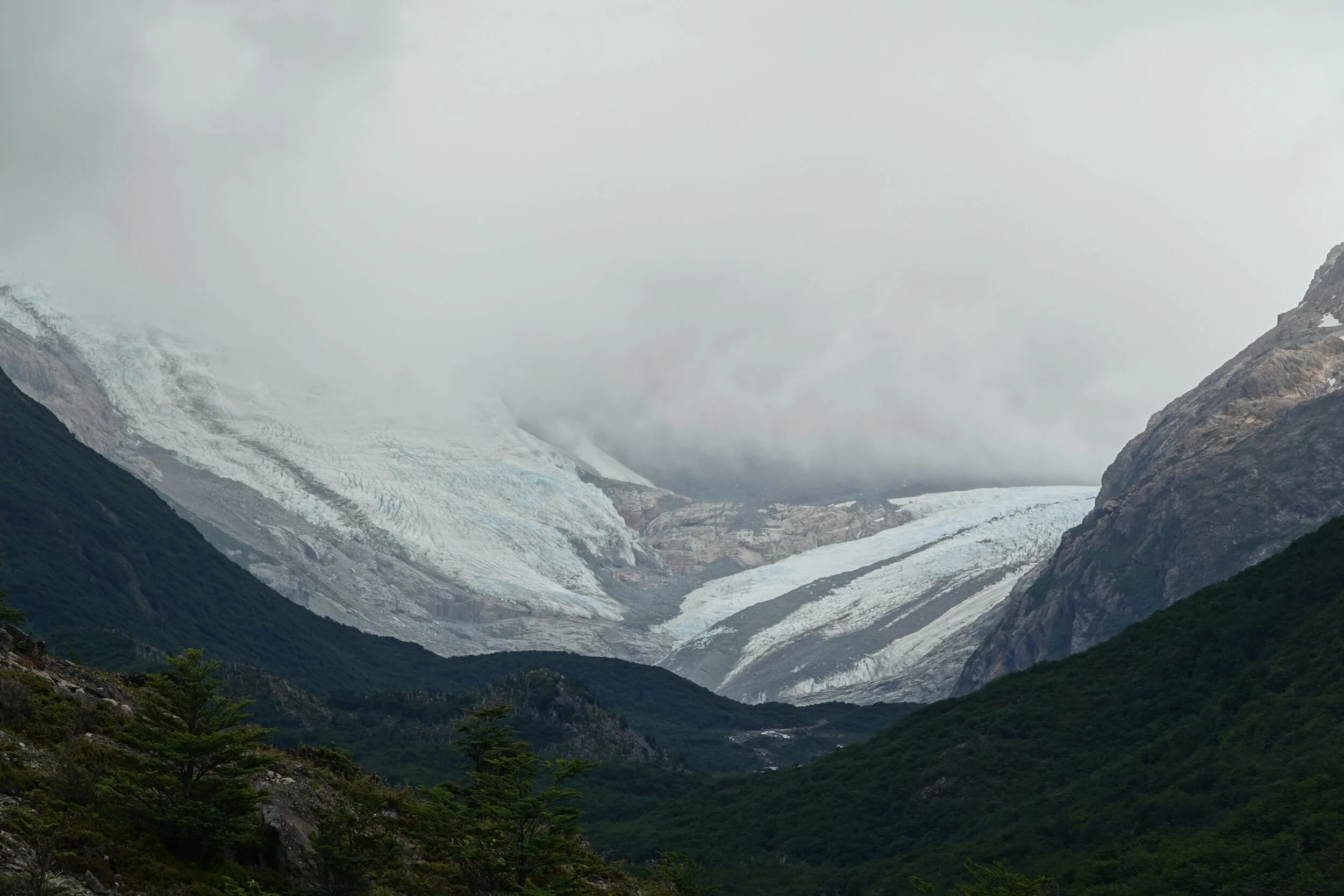
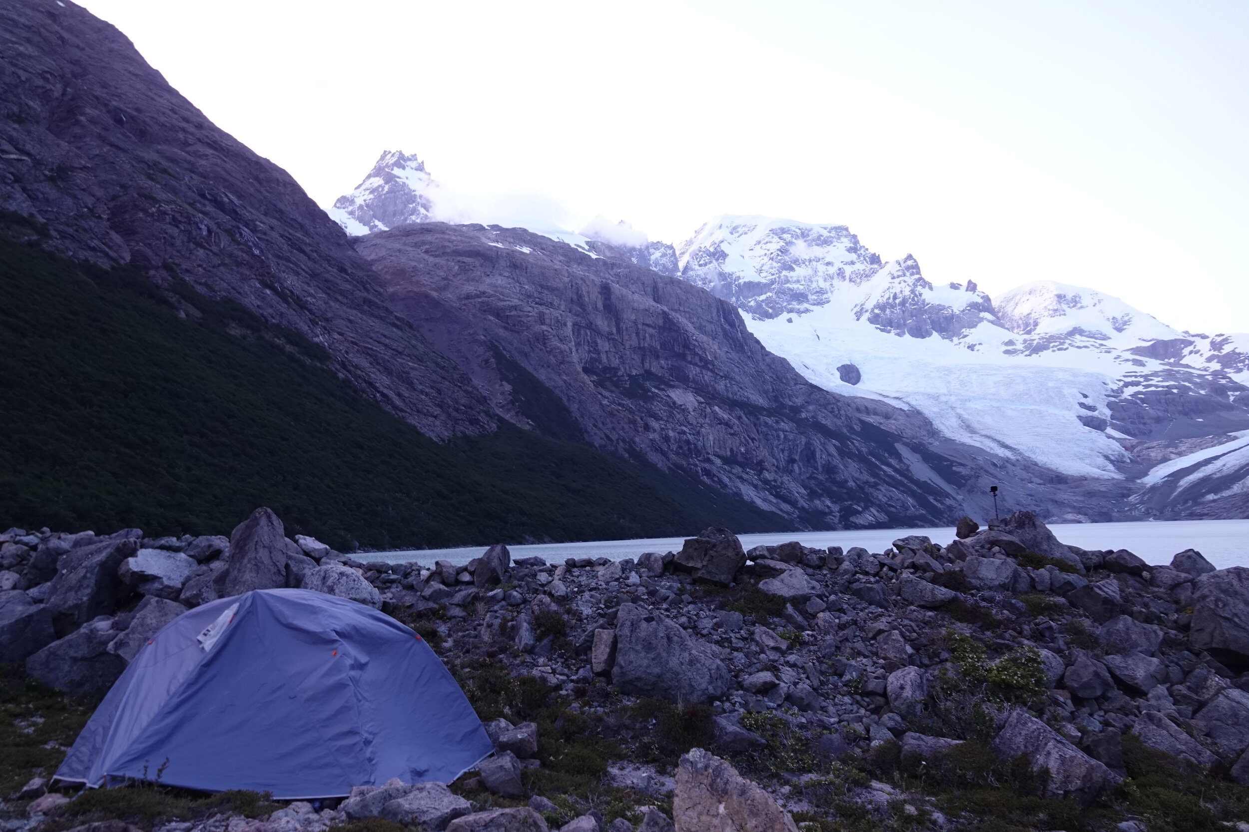
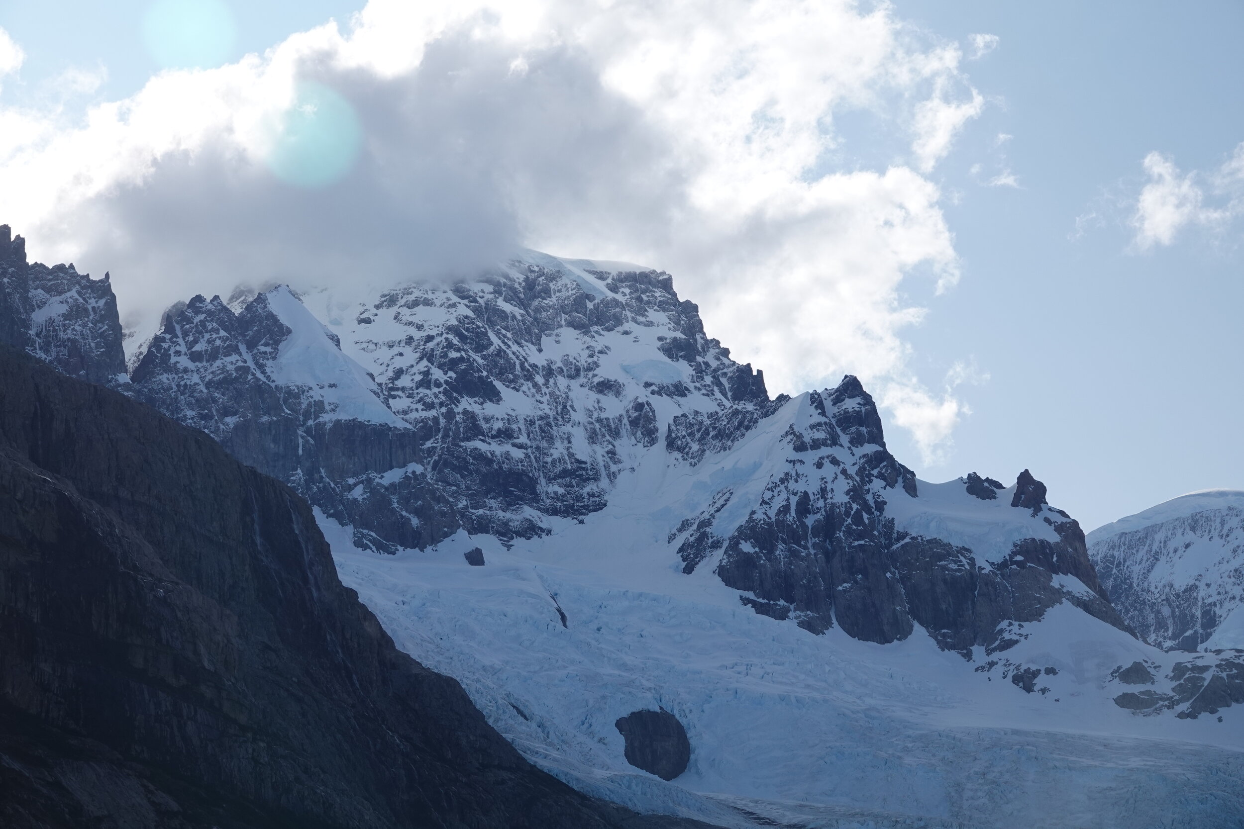
So I settled for camping at Lake Cascada and overlooking the big glaciers and the mountains


I look up at the route Antolin suggested. Maybe not now, there were some very questionable gulleys & steep slope traversals beyond this climb and I should be saving my food supplies to make sure I can reach Argentina.

and it wasn’t a bad place to end my west arm progress and admire the little piece of the southern icefields that I could see.

The return was much easier knowing where the trail is and where it should go. I startled a fox who dropped her rabbit and I wondered if I would have taken it had i been low on food. She watched me from far as I went around her catch and continued on the trail.

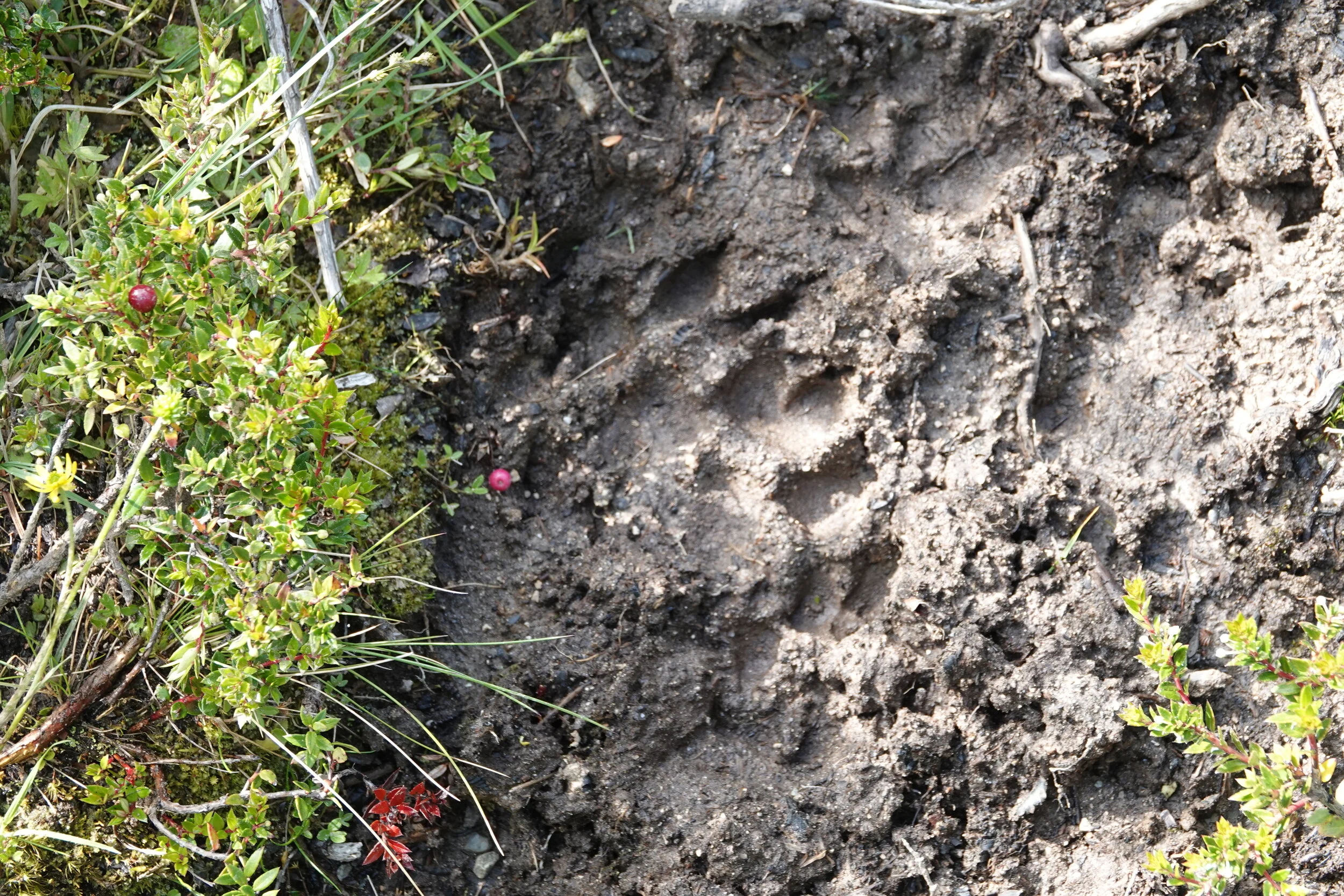
wonder if a mountain lion would have the same reaction and drop its prey or it would defend it.
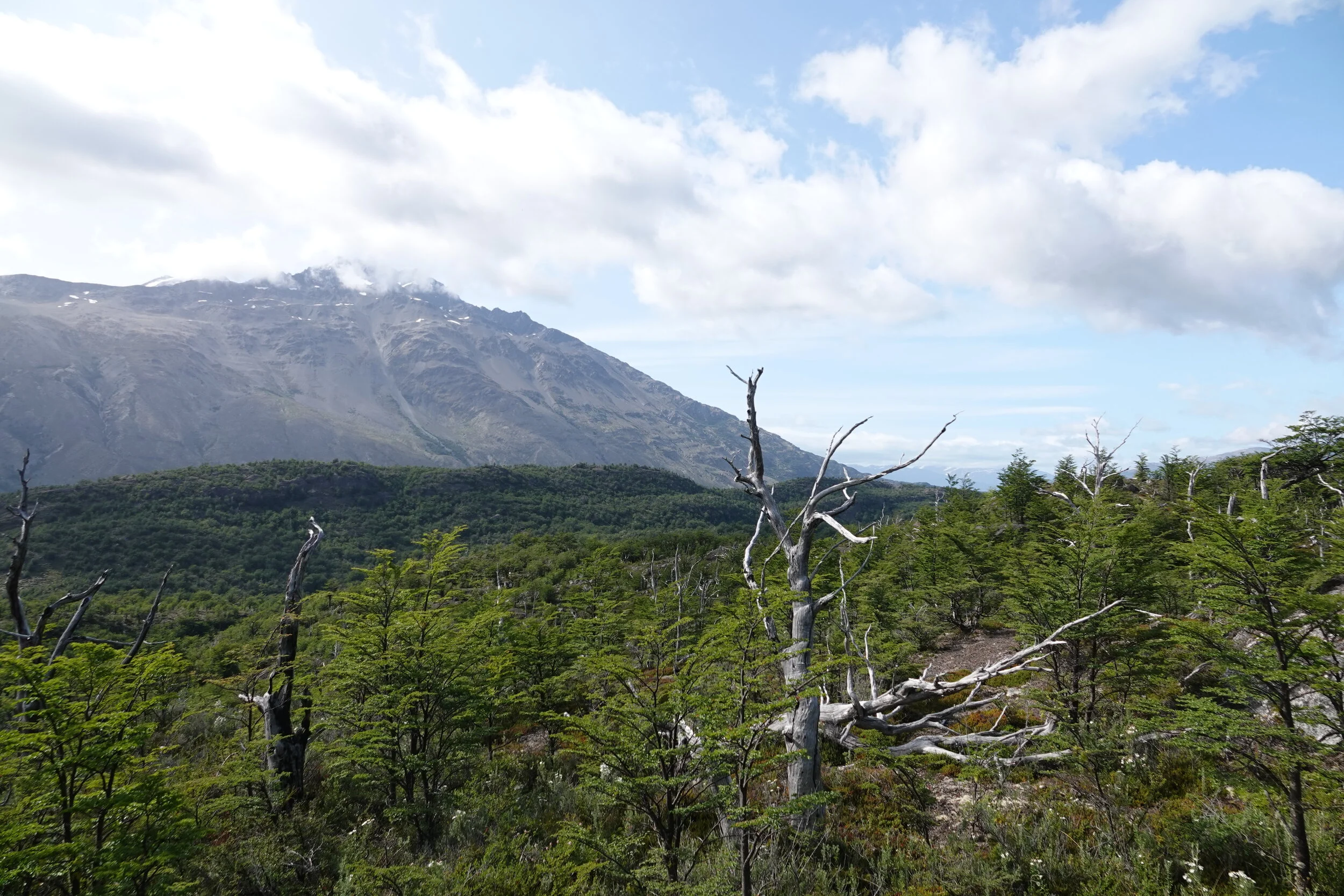
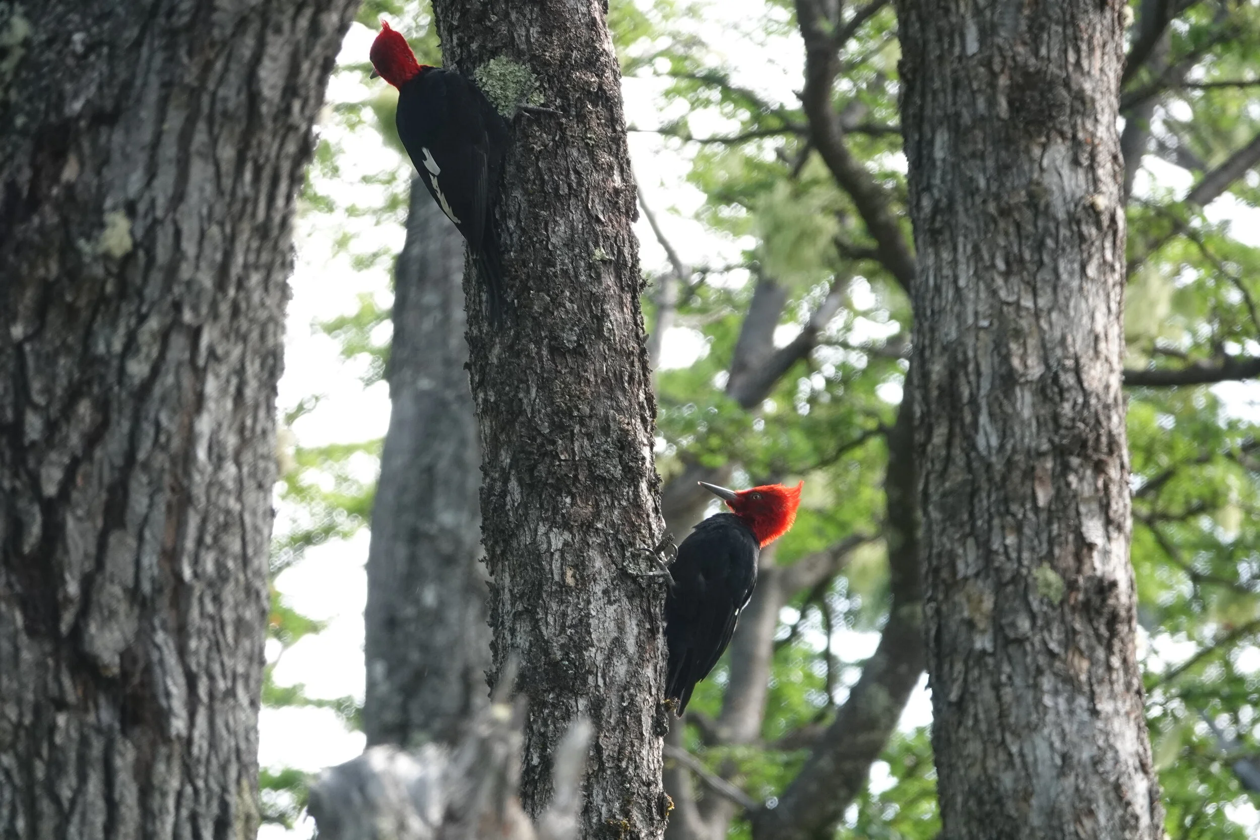
In an odd way it seems that whenever I am in the forest, the birds take a note and always increase their activity.

Back on the coast it was still windy and I continued to just before that nasty maze section and decided that going along the water would be much easier. Boat is ready and I can leave at 5am if its calm.

It was no weather to be in the water and I don’t have photos from the morning paddle but it was one of the scariest i’ve ever done. After the hard section I was able to get on a good trail and keep going, stopping for some strawberries on the way and setting up camp, tired at 1pm. Paddling, even with the wind is not really a good idea in these parts.

I climbed the little peninsula to see my options. Do i go infront of the island or behind, are the south arms crossable? The topographic there looked very steep and it did not seem like a good option. I take a photo and then zoom in on it to try and see the coast, the waves, possible landing spots.
the coast of the island is ok.

the eastern tip seems like I could get out of the boat and according to the sat images i had partly downloaded there may be a bit of a beach on the other side of that rock

alarm set for 5am and just one little drone flight before I go to bed but the one thing that struck me is how calm the water was.
so I just had to pack up and give it a go. Its only 3km (2km exposed) from here to the island and in all my time here I have never seen the lake so calm.
